
Feature Story
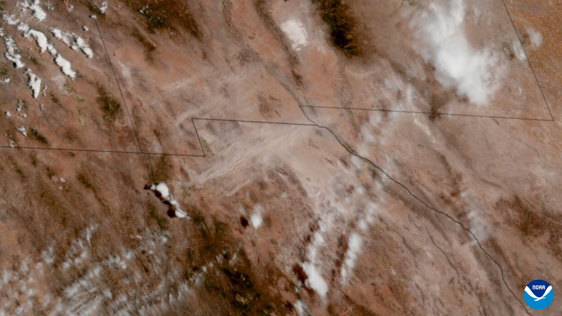
Scientists and forecasters are gaining better insights into how hazardous dust storms occur across southwestern North America thanks to NOAA satellites.
Feature Story

NOAA satellites help predict and detect early threats, track weather events as they happen, and map the aftermath, arming emergency managers and first responders with game-changing intel.
Satellite Snapshots

Artemis II appears as lightning to NOAA's GOES West satellite.
Feature Story

When the Morrill Fire ignited in Nebraska on March 12, 2026, NOAA’s Next Generation Fire System (NGFS) provided critical support.
Feature Story

It was a busy – and successful – year for NOAA’s Satellite and Information Service. We celebrated 50 years of NOAA’s GOES satellites in 2025.
Feature Story

The ocean is a vast, interconnected system that covers about seventy percent of the Earth’s surface. Satellites are essential for observing this environment, supporting marine transportation, weather monitoring, and coastal safety.
Feature Story
To mark 50 years of GOES in orbit, NOAA is looking back at ten notable events captured by these groundbreaking satellites.
Feature Story
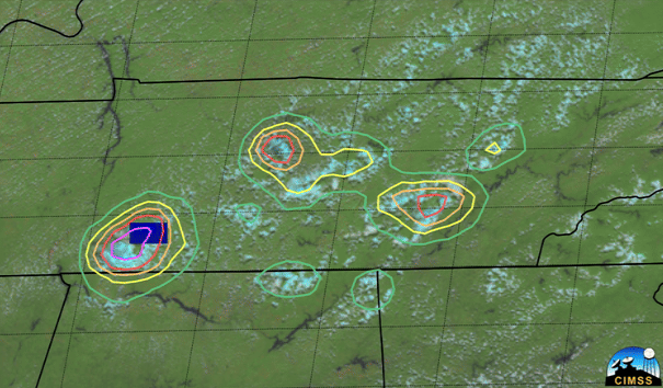
LightningCast uses artificial intelligence (AI) to predict general locations where lightning is most likely to occur.