
Feature Story

NOAA satellites are part of a network of U.S. and international spacecraft called COSPAS-SARSAT that quickly detects and locates distress signals.
Satellite Snapshots
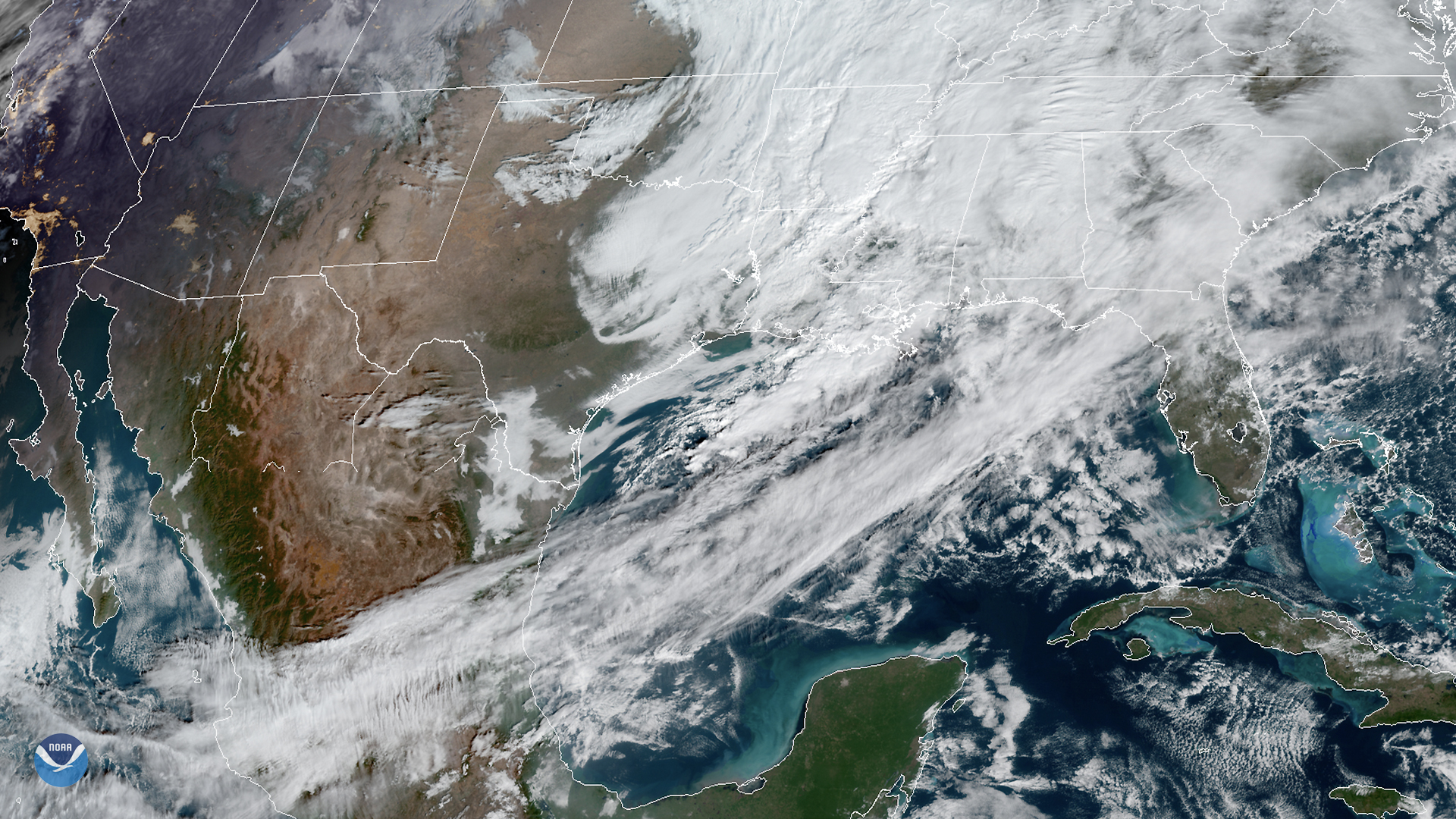
The GOES East satellite viewed strong southwesterly winds ahead of a cold front traversing the Gulf of Mexico. The…
Satellite Snapshots
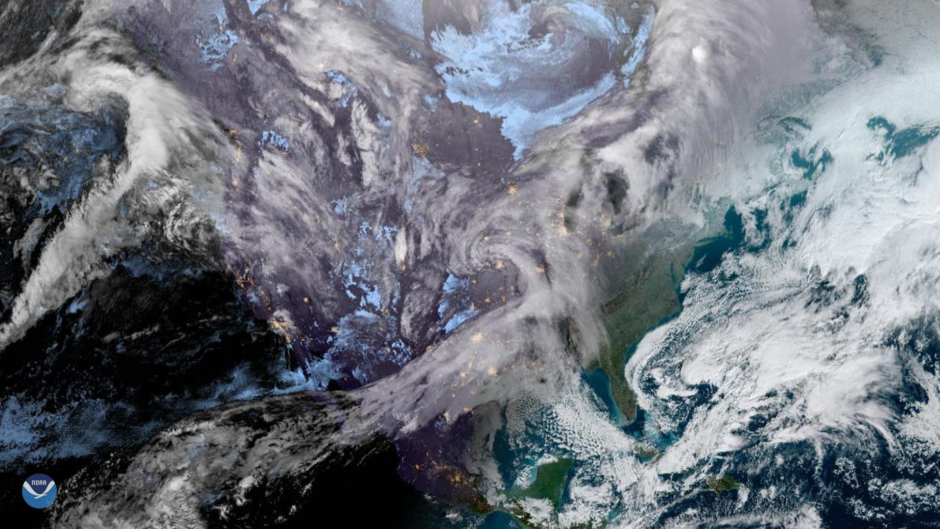
The GOES East satellite captured this Geocolor image of the United States as the sun rose over the East Coast on Jan. 22, 2020. Seen…
Satellite Snapshots
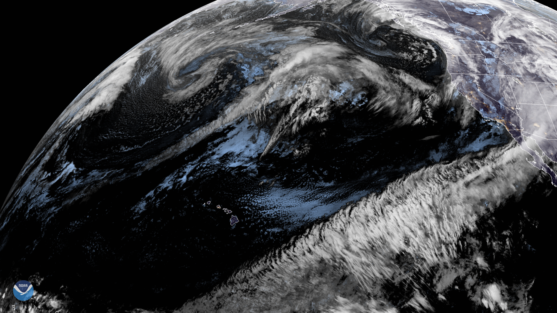
On Jan. 21, 2020, GOES West viewed a strong flow of moisture streaming across the Pacific toward the western coast of the U.S. This…
Feature Story

2020 will be remembered as a time of unprecedented challenges and changes. These circumstances inspired us to push our…
Satellite Snapshots
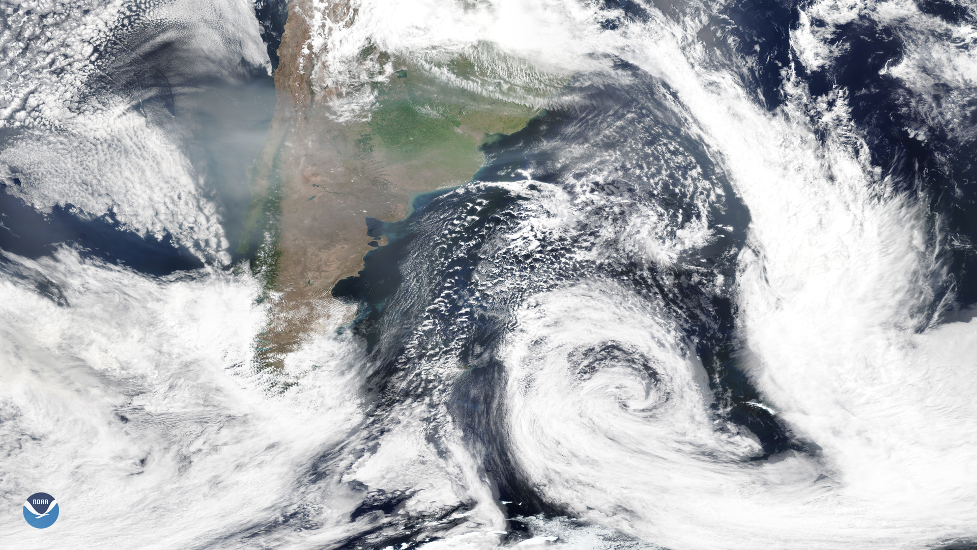
On Jan. 16, 2020, the NOAA-20 satellite snapped this image of the southern tip of South America, where smoke from the Australian…
Satellite Snapshots
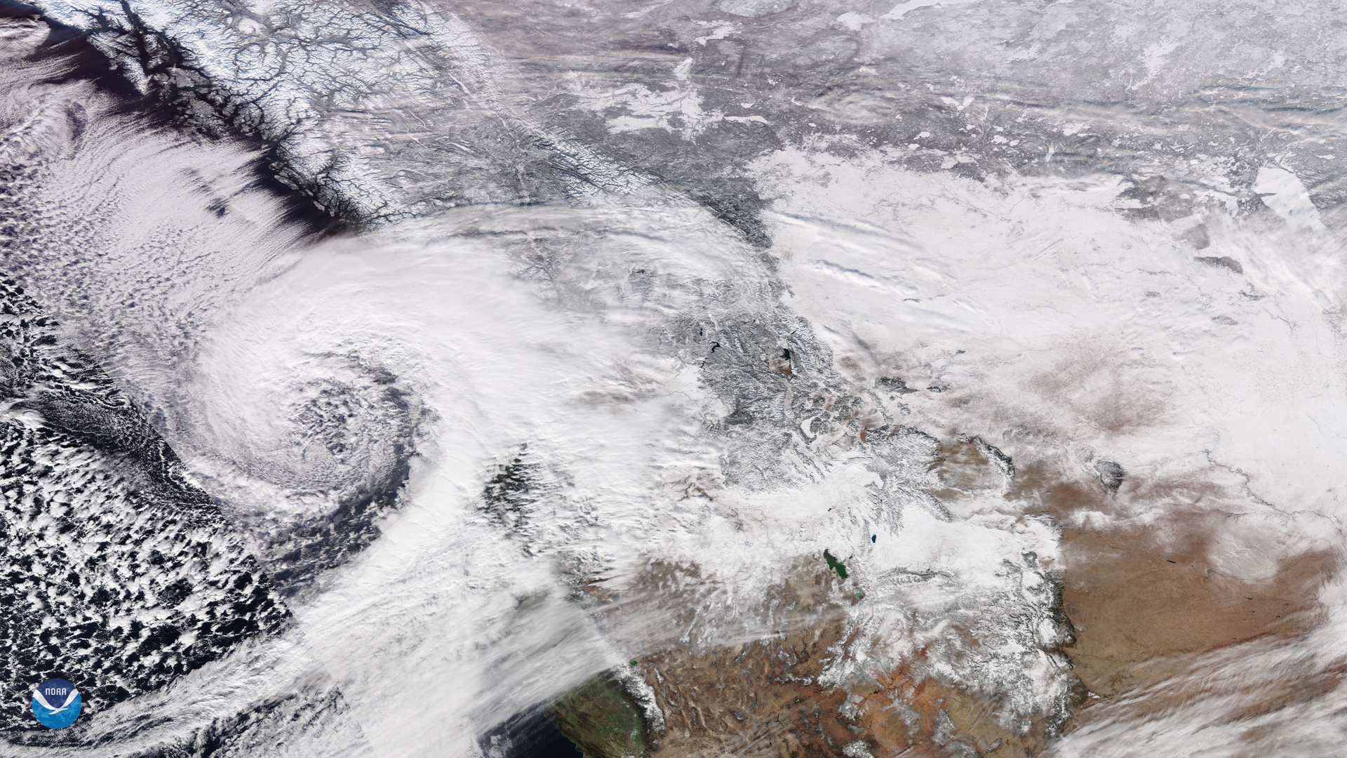
On Jan. 15, NOAA-20 viewed a low pressure system that has been bringing snowfall into British Columbia, Canada since Jan. 10…
Satellite Snapshots
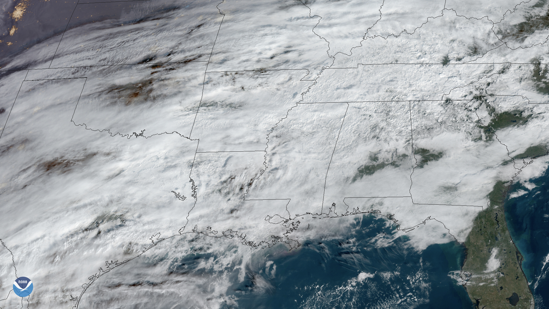
On Jan. 15, 2020, GOES East captured this image of the Mississippi River Delta and Mobile Bay as it experienced flash flooding…