
Satellite Snapshots
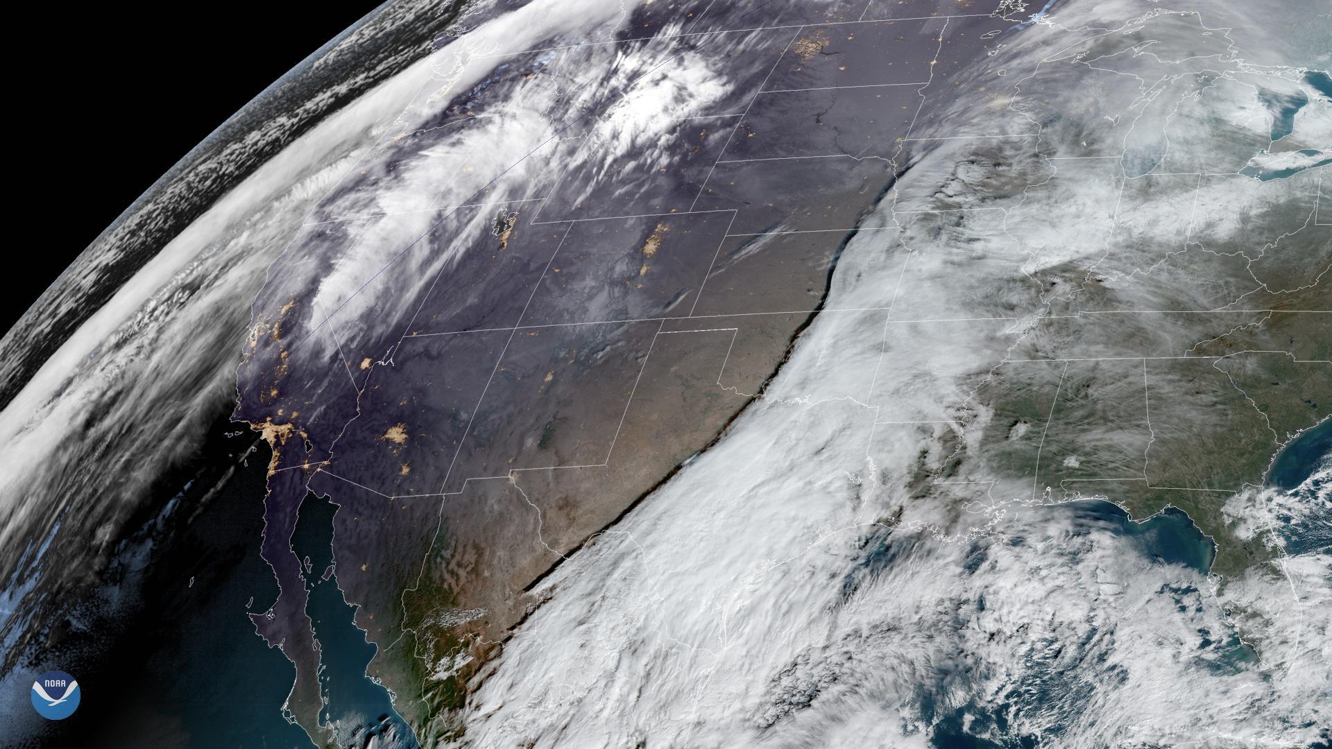
GOES East is watching two storms moving across the United States on Dec. 20, 2019, that may hinder holiday travel through next week…
Feature Story
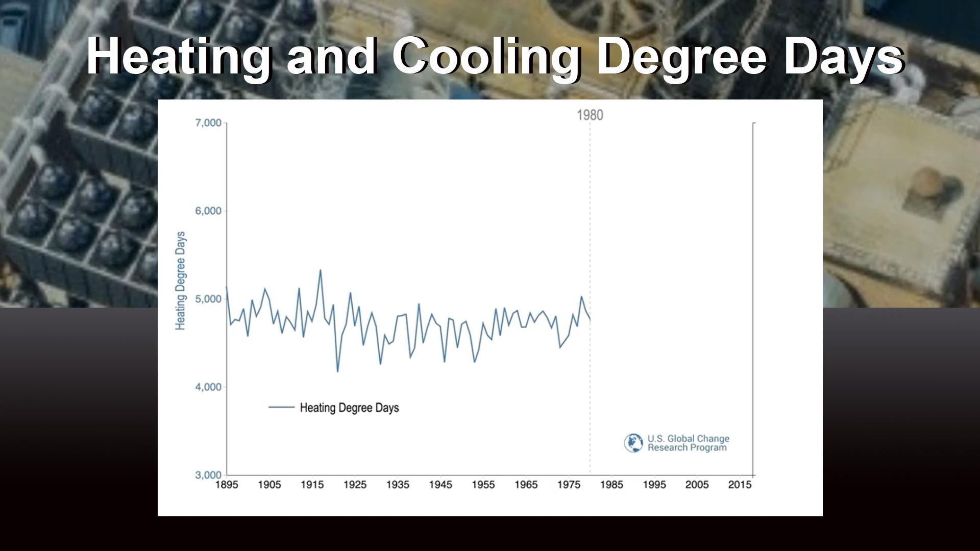
December 20, 2019 Astronomical winter starts this weekend in North America and, typically, so do conditions that send us cranking up the heat. But…
Feature Story
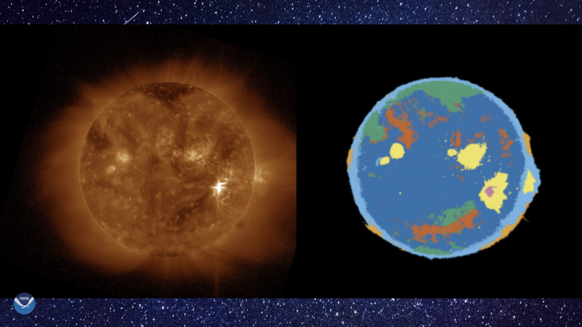
December 19, 2019 Computers can learn to find solar flares and other events in vast streams of images of the sun and help NOAA forecasters issue…
Feature Story
NASA has selected United Launch Services LLC (ULS) of Centennial, Colorado, to provide launch services for the…
Feature Story
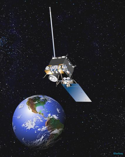
Updated:January 29, 2020 NOAA officials have announced plans to power off the GOES-15 satellite and place it into orbital…
Feature Story

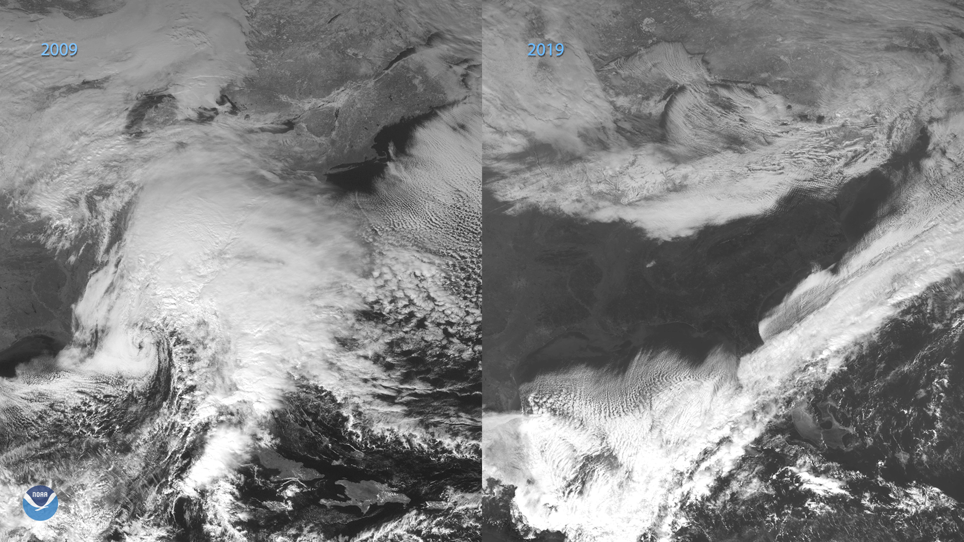
December 18, 2019 The ocean has been playing an important role in helping slow down global climate change by removing greenhouse gas carbon dioxide …
Satellite Snapshots
On the eastern coast of North America on Dec. 18, 2019, the GOES-16 satellite showed a long cold front that stretched from…
Feature Story

The prestigious and highly competitive Dave Johnson award recognizes innovation and achievement of young professionals in the use of satellite data fo