
Feature Story
GOES satellites provide beautiful images of Earth. But what you see are digital representations of the data they capture. How are the images created?
Feature Story
NASA and NOAA have appointed a board to investigate an instrument anomaly aboard the GOES-17 satellite.
Feature Story
This week, NOAA will begin releasing GOES-17 Advanced Baseline Imager (ABI) “beta” level data and imagery.
Feature Story
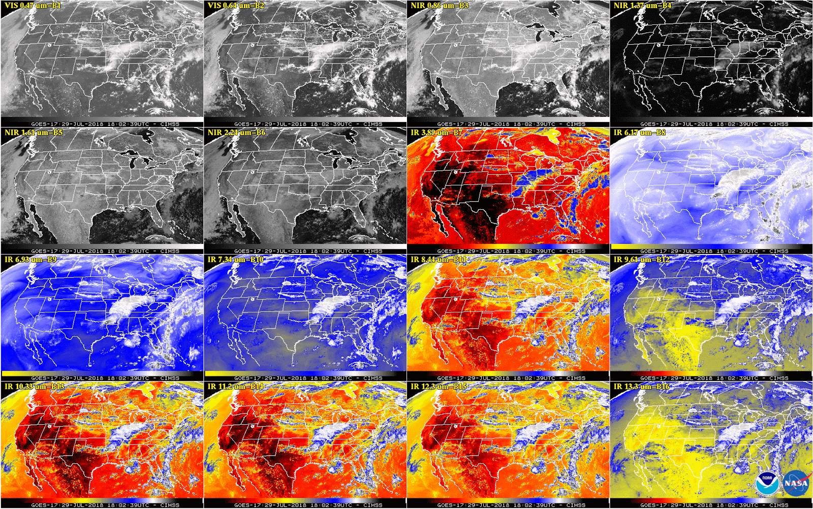
This new imagery shows data are currently available from all 16 ABI channels.
Feature Story
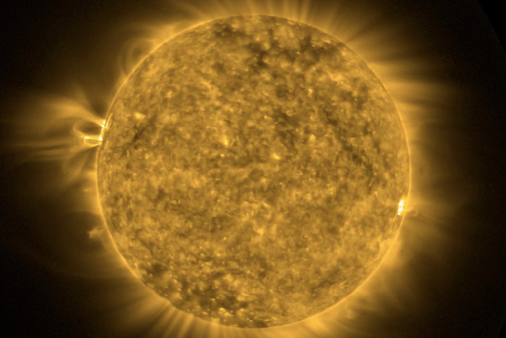
This short movie of the sun’s rotation from March 2021, one-million-degree solar plasma in action
Feature Story
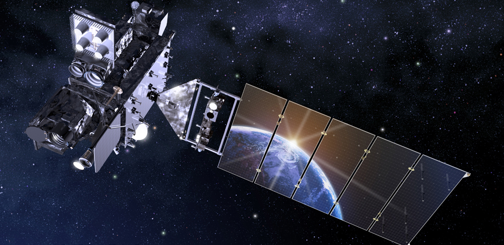
This is an introduction to NOAA's GOES-R Series Satellites - including GOES-R GOES-16 GOES East and GOES-S GOES-17 GOES West. The GOES-R Series, NOAA…
Satellite Snapshots

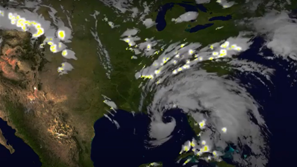
Hurricane Isaac made landfall in Louisiana in the evening of August 28, 2012.
Satellite Snapshots
NOAA GOESEast satellite imagery of Alberto also captured the lightning during landfall within the storm - this data helps give forecasters an…