
Satellite Snapshots

On March 10, 2025, the NOAA-21 satellite captured this stunning view of lake ice covering parts of Lake Erie.
Feature Story

LEO satellites provide critical atmospheric, oceanic, and terrestrial data, enhancing NWS forecasts for severe weather, flooding, and other hazards.
Earth from Orbit

NOAA satellites have been tracking a major spring storm system pushing across the central United States this week. The system has prompted NOAA’s National Weather Service (NWS) to issue widespread weather alerts for everything from blizzard warnings…
Announcement
NASA, on behalf of the National Oceanic and Atmospheric Administration (NOAA), has awarded a delivery order to BAE Systems Space & Mission Systems Inc. of Boulder, Colorado, to build spacecraft for the Lagrange 1 Series project as a part of NOAA…
Satellite Snapshots

This before-and-after imagery of the Lower Mississippi River Valley shows the impact of heavy rainfall and flooding that struck the region in mid-February 2025.
Feature Story
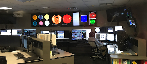
In an era where satellites enable everything from weather forecasts to global communications, the invisible forces of space weather pose a growing threat.
Satellite Snapshots

As NOAA’s Joint Polar Satellite System (JPSS) satellites passed over Lake Erie on the night of Feb. 10, 2025, they detected moonlight reflecting off its icy surface.
Satellite Snapshots

February 13, 2020 Today, NOAA's network of Earth-observing satellites capture some 20 terabytes of environmental data every day as they orbit the…