
Feature Story

Look from space to see earth and GOES satellites in spatial context.
Feature Story
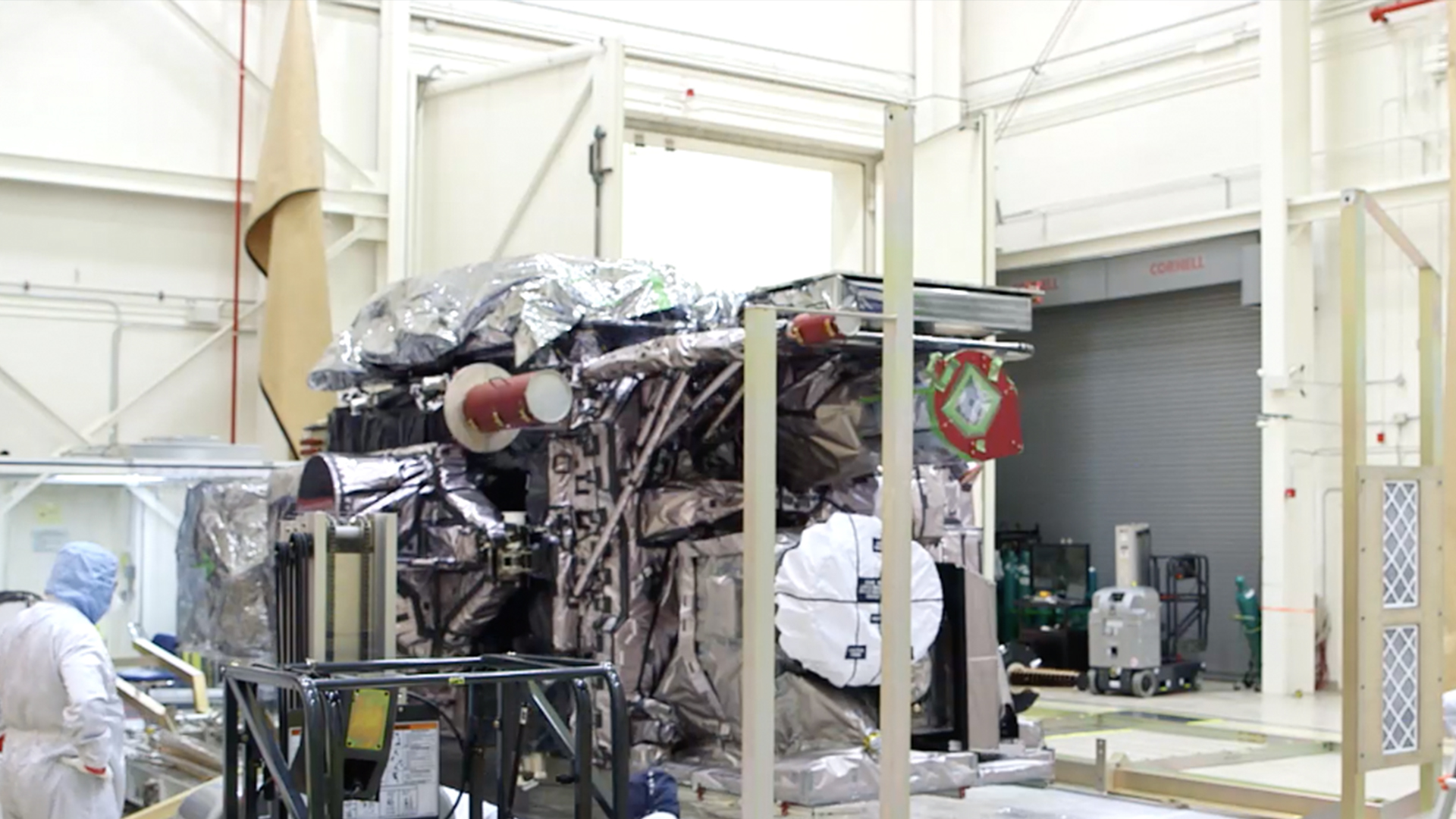
GOES-S Pack and Ship Media B-Roll. The GOES-R Series provides advanced imagery and atmospheric measurements, real-time mapping of lightning activity, and monitoring of space weather.
Satellite Snapshots
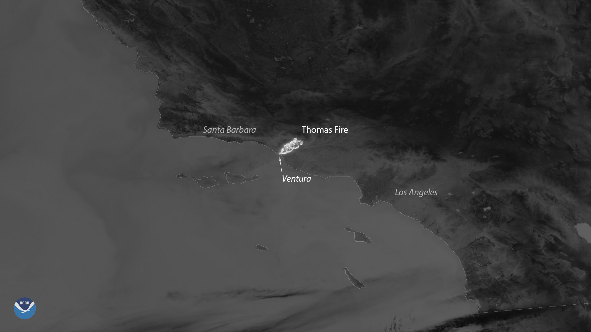
Suomi NPP satellite captured the fast moving active fires in Ventura County, California.
Satellite Snapshots
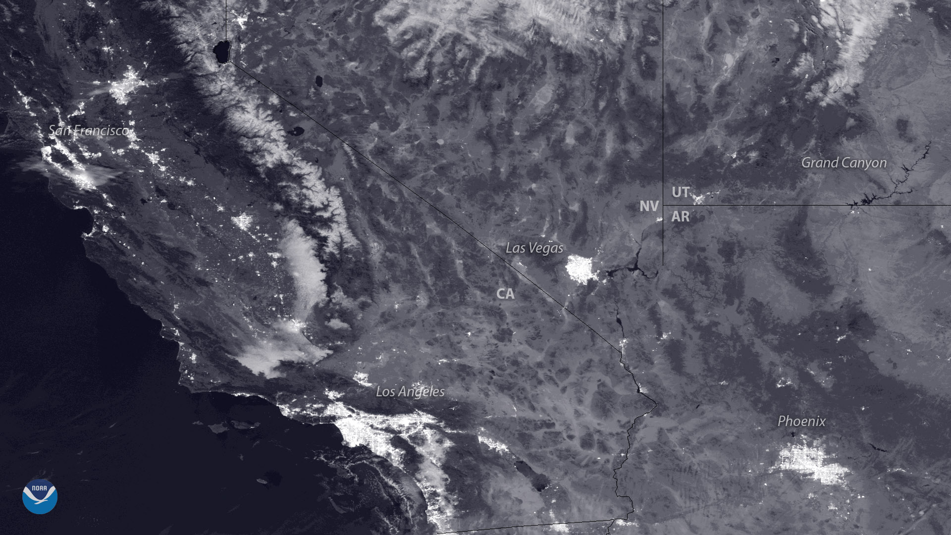
The polar-orbiting NOAA/NASA Suomi NPP satellite captured this view of Northern California last night (December 3, 2017)…
Feature Story
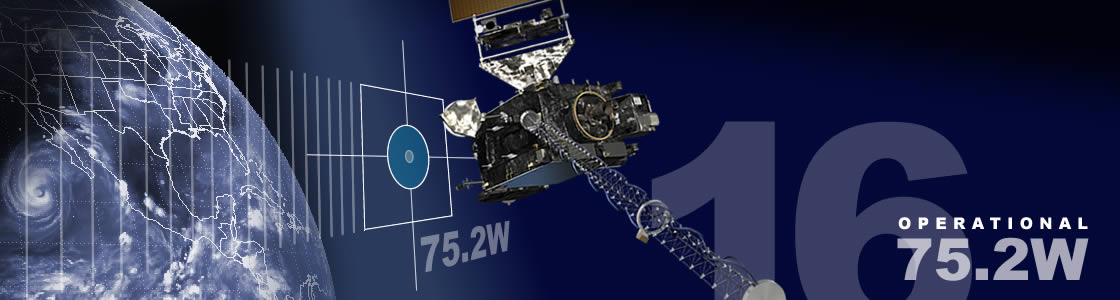
NOAA GOES-16, the newest and most advanced geostationary weather satellite, will begin moving into its operational orbit…
Satellite Snapshots
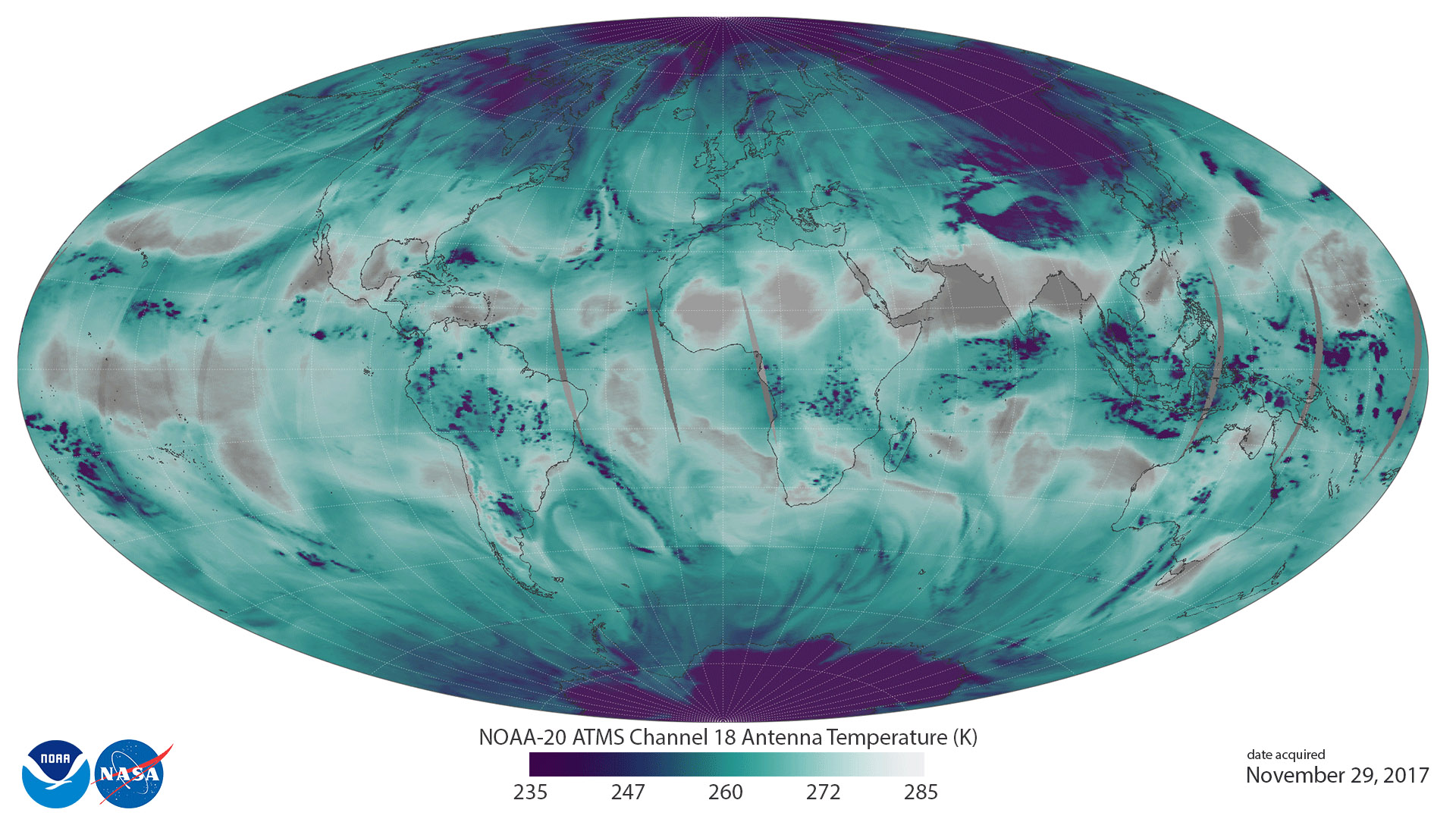
Eleven days after JPSS-1 launched into Earth orbit, the satellite, now known as NOAA-20, has sent back its first ATMS Imagery.
Satellite Snapshots

November 28, 2017 NOAA/NASA's Suomi NPP satellite's VIIRS instrument captured this cloud-free view of Lake Nasser, Egypt on November 28, 2017…
Feature Story
NOAA satellites have the capability to provide astounding views of the Earth. But many people want to know if these satellites can see them.