
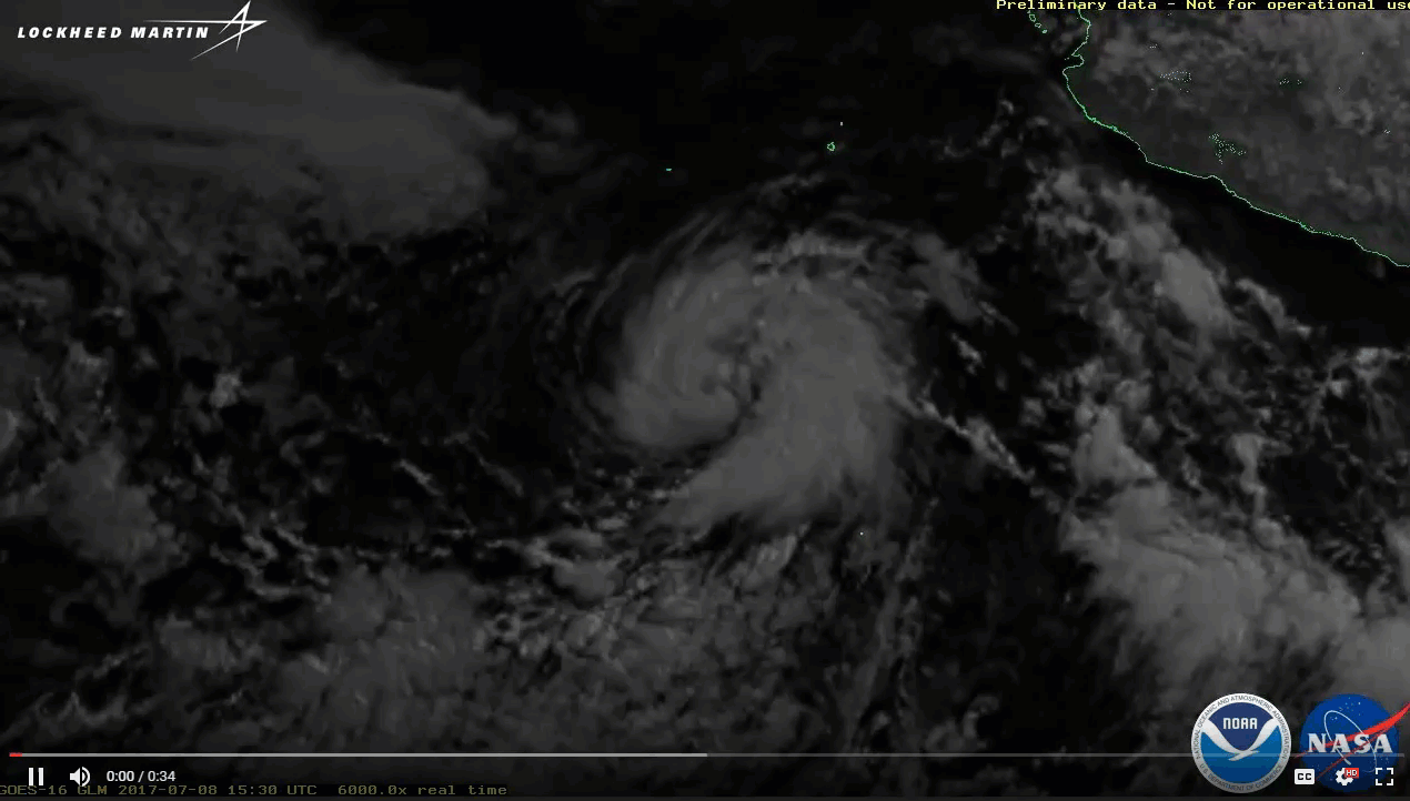
Satellite Snapshots
GOES East captured imagery of a derecho that tore through the north-central Plains on July 19, 2017.
Feature Story

NOAA Satellites generate vital advance warnings for severe weather events helping us to make informed decisions on everything from population evacuations to flight patterns.
Feature Story
The high-resolution Advanced Baseline Imager aboard GOES-16 can provide imagery of hot spots like never before.
Feature Story
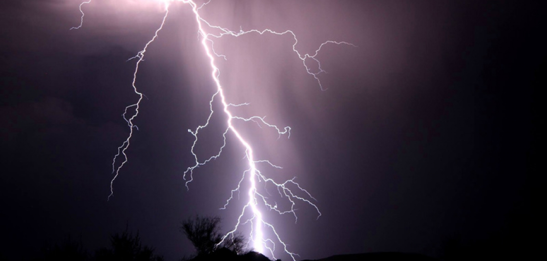
This imagery from GOES-16's Geostationary Lightning Mapper features flashes of lightning, but not necessarily where you might expect to see them.
Feature Story
It’s mid-April 2017 and NOAA’s GOES-16 Field Campaign , a two-month-long effort to calibrate and validate the earth viewing…
Feature Story

Watch the amount of sunlight reaching the North Pole increase with the coming summer solstice.
Announcement
On June 19, NOAA held a community engagement event to discuss Round 2 of its Commercial Weather Data Pilot (CWDP). The event served to address questions about the draft Request for Proposals (RFP) issued on May 26, 2017. The event included a public…
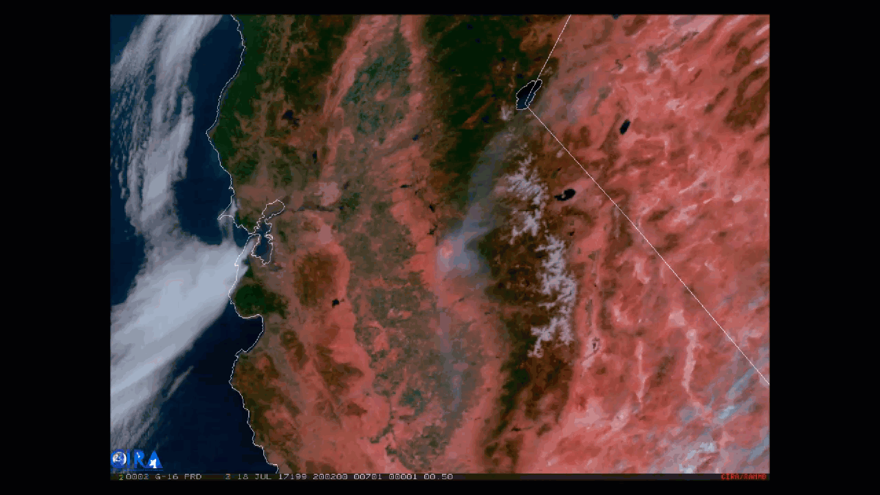
Satellite Snapshots

The Visible Infrared Imaging Radiometer Suite (VIIRS) aboard the NOAA/NASA Suomi NPP satellite captured this color-enhanced infrared…