
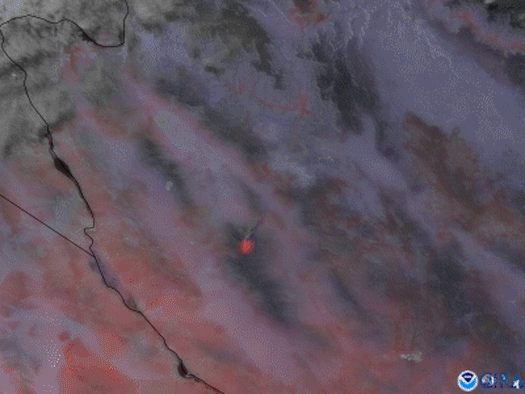
Satellite Snapshots
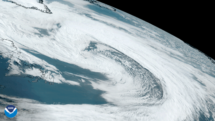
NOAA’s GOES East satellite saw a large occluded low pressure system (mid-latitude cyclone) swirl in the East Labrador Sea between Canada and Greenland
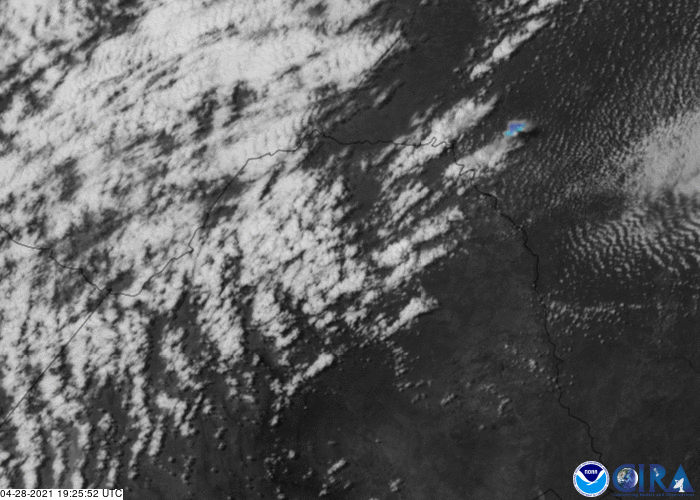
Satellite Snapshots
GOES East captured amazing visible imagery of large thunderstorms as they erupted over Texas. The Geostationary Lightning Mapper tracked lightning
Announcement
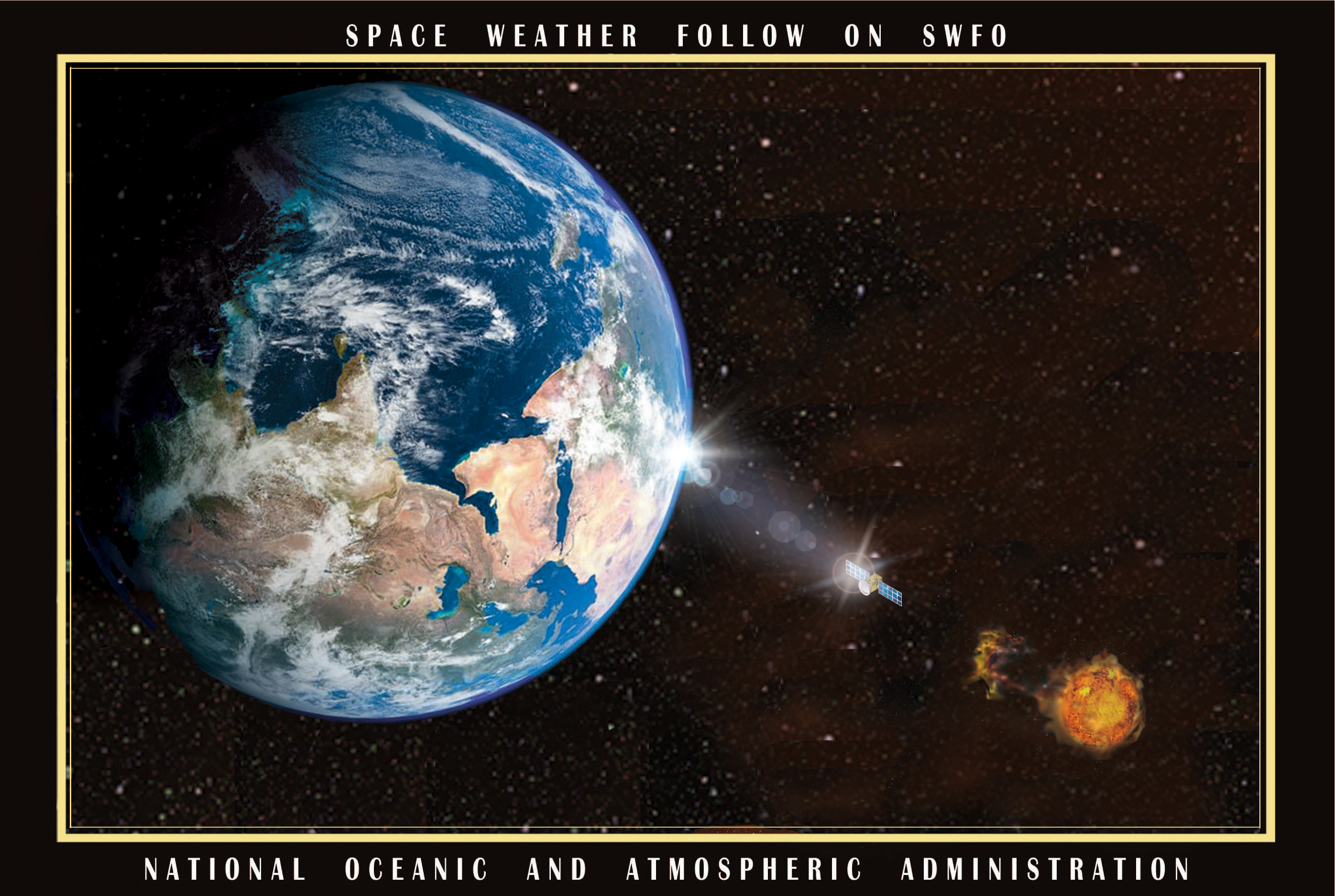
NOAA has awarded the Space Weather Follow On (SWFO) Antenna Network (SAN) contract to KBR WYLE TECHNOLOGY SOLUTIONS, LLC (KBR) in Columbia, Maryland.
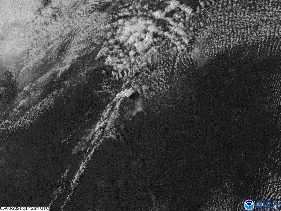
Satellite Snapshots
The GOES East satellite watched a massive supercell push across south-central Texas. The storm produced damaging winds and very large hail.
Satellite Snapshots
The GOES West satellite focused in on the Flag Fire in western Arizona using a combination of visible imagery and Fire Temperature RGB.
Feature Story
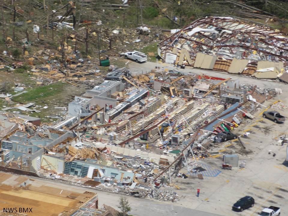
This week marks the tenth anniversary of one of the largest, deadliest, and most destructive tornado outbreaks in United States.
Feature Story
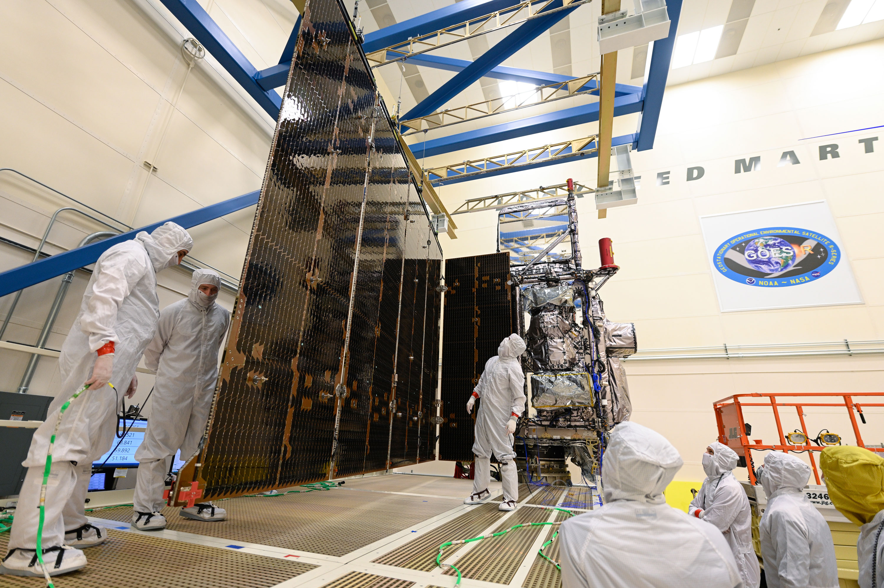
Engineers completed a successful test deployment of the GOES-T satellite's solar array as part of a series of tests to prepare it for launch.
Earth from Orbit
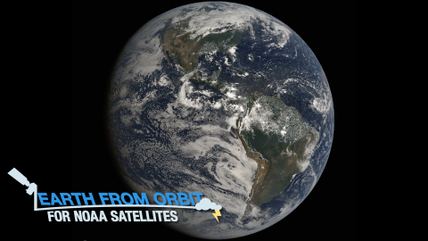
To celebrate Earth Day, we are sharing stunning views of our beautiful planet, captured by NOAA satellites. Since 1970, NOAA satellites have been…