
Satellite Snapshots
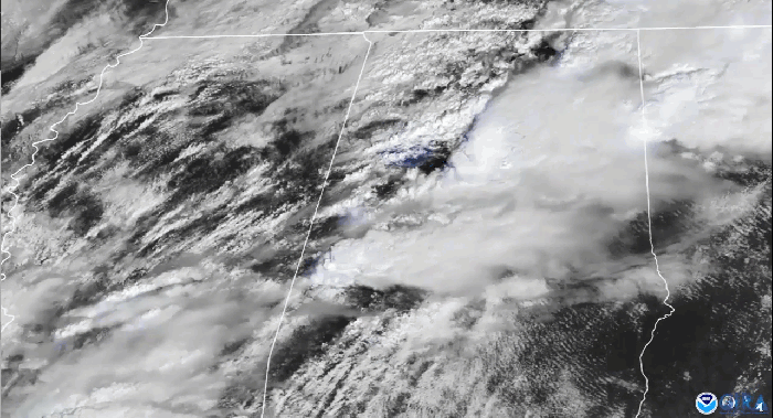
The timelapse seen above in our Image of the Day captures the supercell thunderstorms that swept over parts of the landscape of the…
Announcement

NOAA will host the 8th International Radio Occultation Working Group (IROWG) meeting.
Satellite Snapshots

On Monday, March 15, the Himawari-8 satellite, operated by our partner agency Japan Meteorological Agency , observed a massive dust…
Earth from Orbit
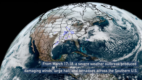
A severe weather outbreak swept across the Southern U.S. and produced damaging winds, hail, and tornadoes including EF2s in Mississippi and Alabama.
Satellite Snapshots
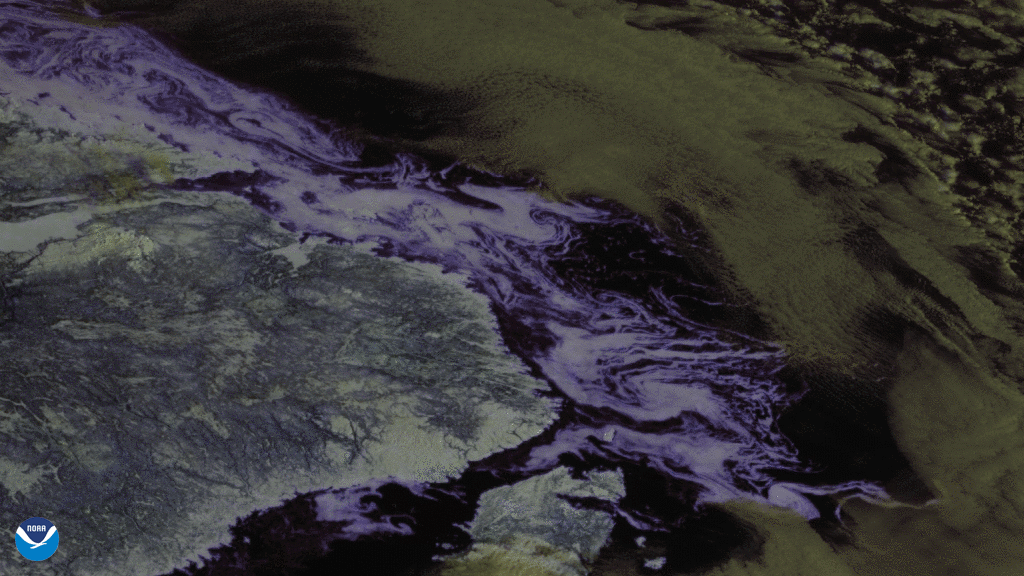
On March 9, 2021, GOES East used its Advanced Baseline Imager (ABI) to focus in on sea ice (bluish-white swirls) flowing in the…
Feature Story

NOAA’s GOES-T satellite recently completed rigorous testing to ensure it can withstand the harsh conditions of launch and orbiting in space.
Feature Story
Tomorrow, March 20, researchers at the U.S. Amundsen-Scott South Pole Station in Antarctica will watch the sun set for the…
Earth from Orbit
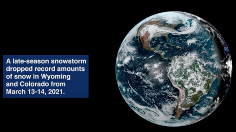
Satellite imagery shows a late-season snowstorm that dropped record-breaking amounts of snowfall in Cheyenne, Wyoming and Denver, Colorado.