
Announcement

NOAA awarded Delivery Order 2 under its existing Indefinite Delivery Indefinite Quantity (IDIQ) contracts for radio occultation (RO) data to GeoOptics
Satellite Snapshots
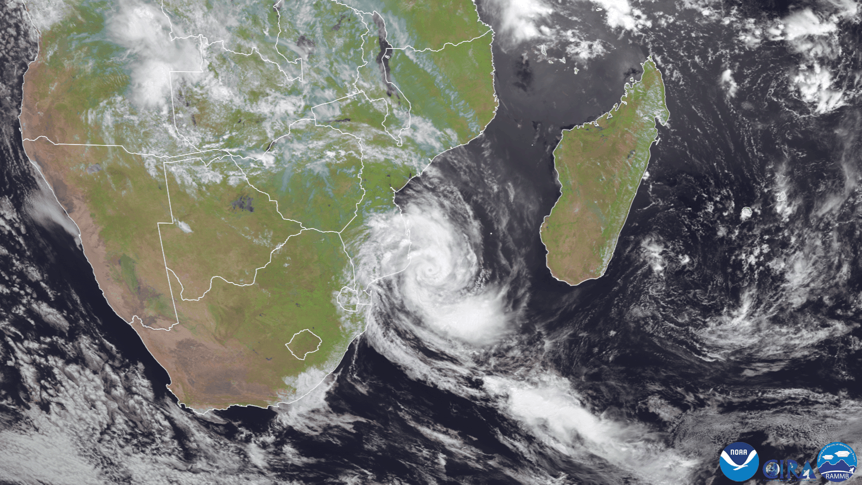
Europe’s Meteosat-8 satellite was keeping an eye on Tropical Cyclone Guambe, which developed off the southeastern coast of Africa
Satellite Snapshots
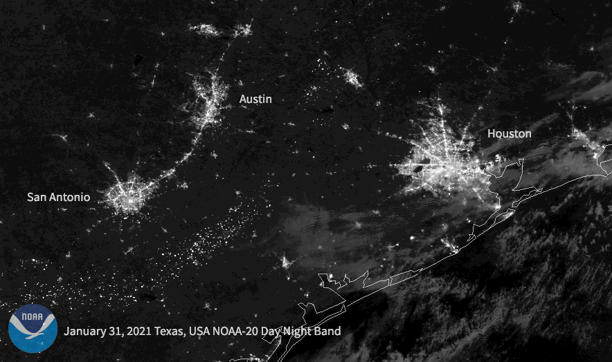
Following a historic winter storm across the central/southern U.S. this week, the NOAA-20 satellite caught the resulting power outages in Texas.
Satellite Snapshots
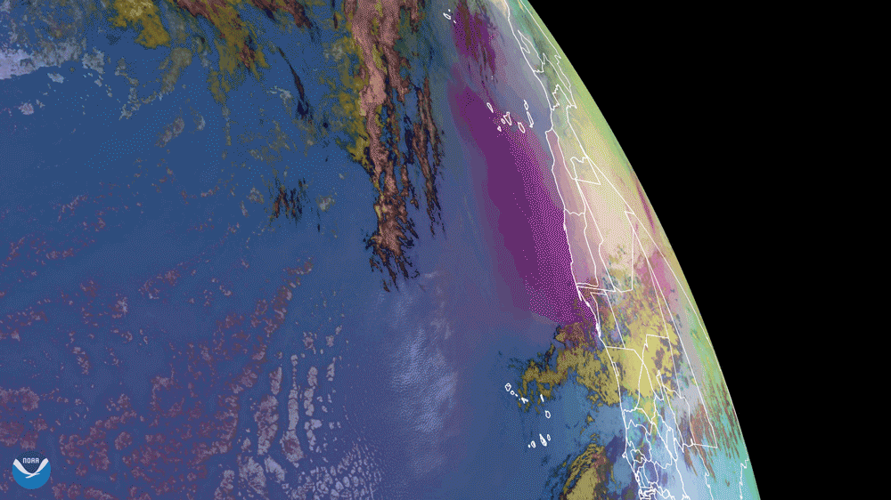
NOAA’s GOES East satellite captured dust from the Saharan Air Layer (SAL) as it wafted its way over the Atlantic Ocean and Canary…
Feature Story

Have you been shopping for Valentine’s Day cards for your friends, family, or sweetheart, but they all just seem so… boring?…
Satellite Snapshots
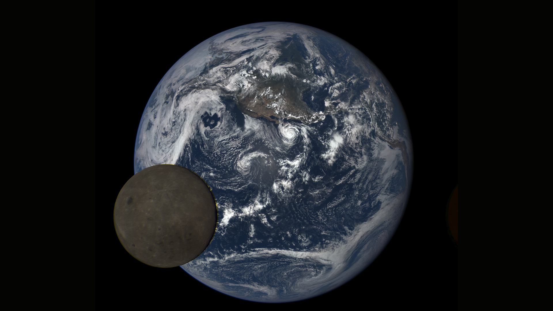
On this day in 2015, NOAA’s Deep Space Climate Observatory (DSCOVR) launched on a SpaceX Falcon 9 rocket from Cape Canaveral…
Feature Story
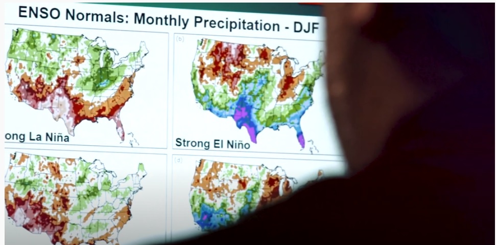
Climatologists from NOAA NCEI are currently compiling and reviewing 30 years of weather and climate data to serve as the nation’s climate "normals."
Satellite Snapshots
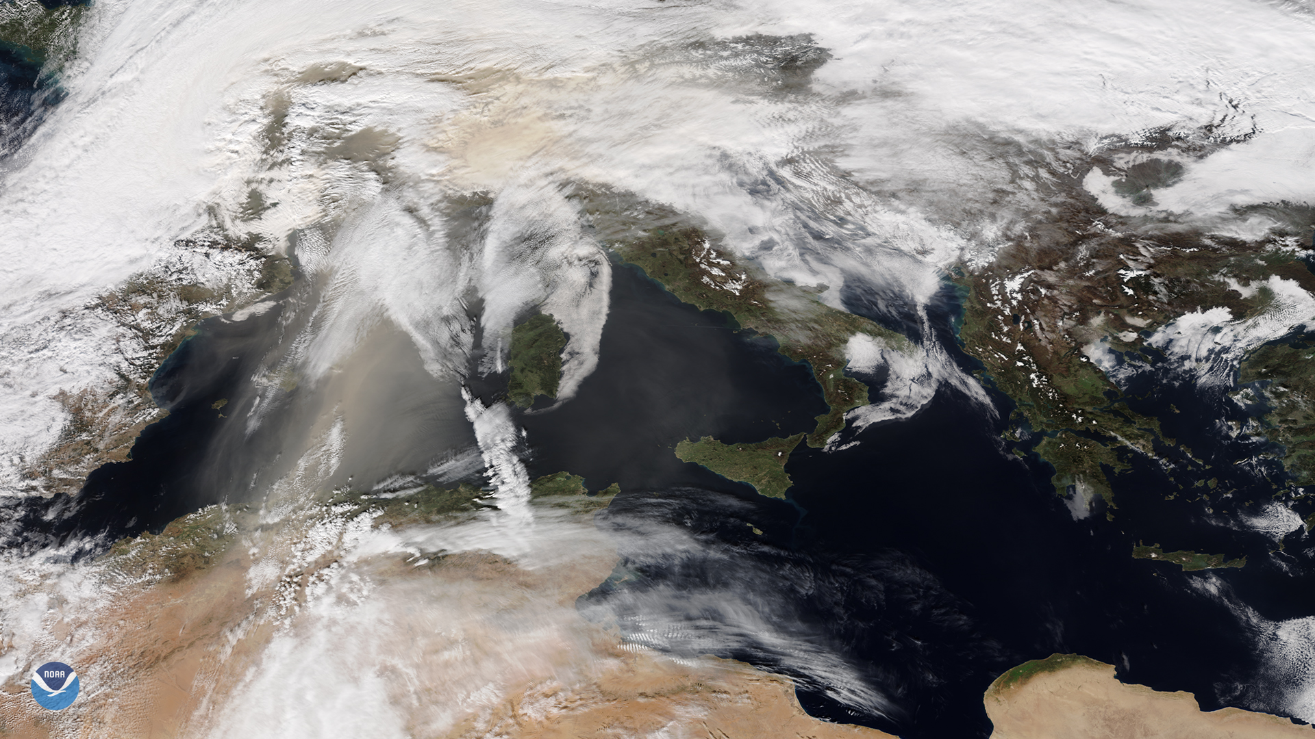
NOAA-20 catches orange skies and dusty ski slopes plagued Europe during the first weekend of February