
Satellite Snapshots
GOES East satellite captured a “supercool” phenomenon occurring within the clouds over Michigan.
Feature Story
Eric Leuliette, NOAA's program scientist for Sentinel-6 talks about the agency's planned use of the satellite data.
Announcement

NOAA awarded its first contracts to purchase commercially available space-based radio occultation data for use in NOAA’s operational weather forecast
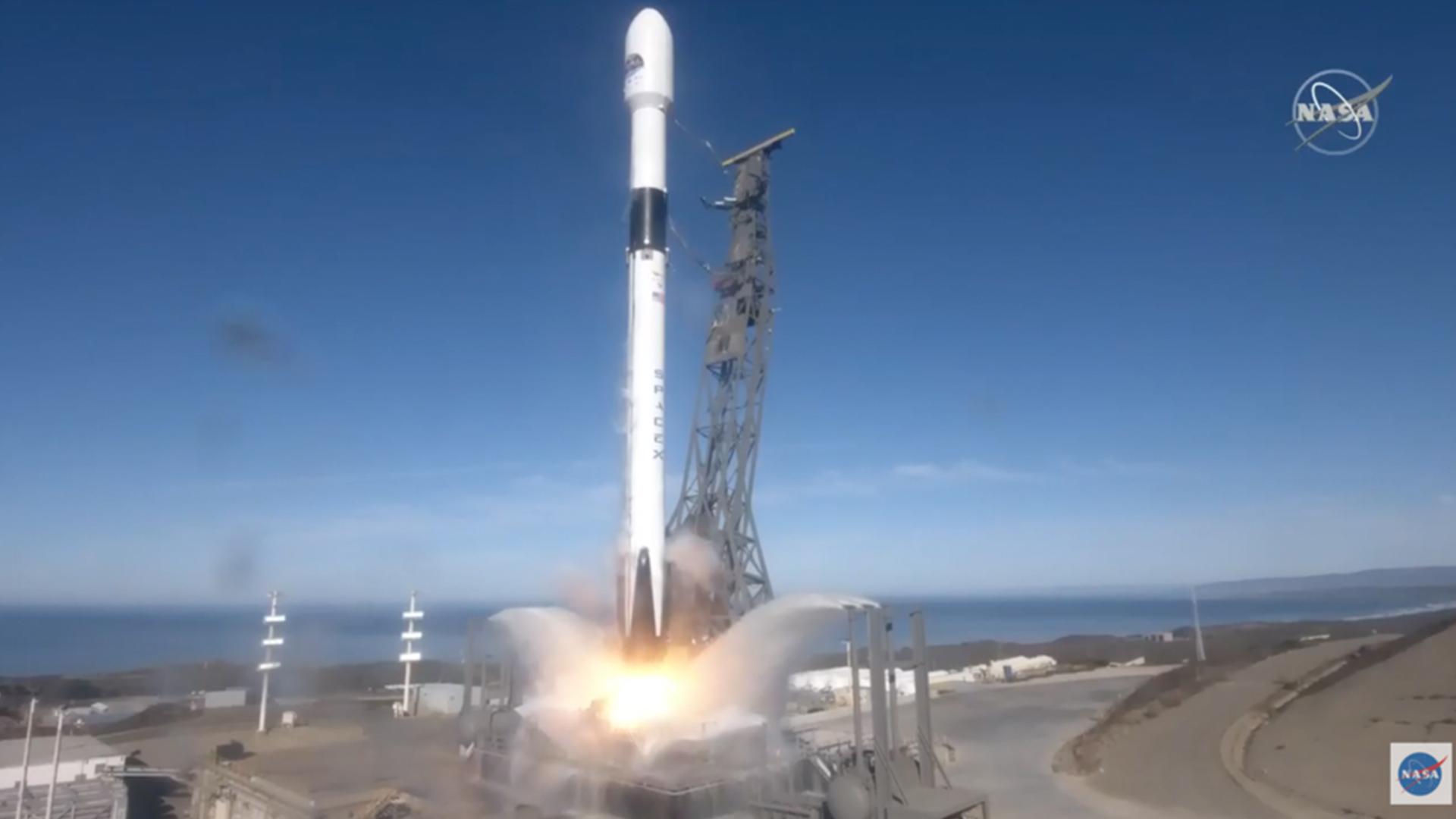
Announcement
On Friday, November 20, 2020, NOAA awarded its first contracts to purchase commercially available space-based radio occultation (RO) data for use in NOAA’s operational weather forecasts.
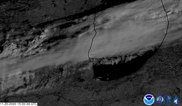
Satellite Snapshots

GOES-East viewed cloud streets that were generated by a northwesterly wind over the Great Lakes and Northeast
Satellite Snapshots
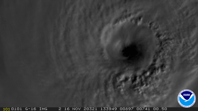
GOES-East satellite captured this GeoColor and GLM lightning composite image loop of powerful Hurricane Iota.
Satellite Snapshots
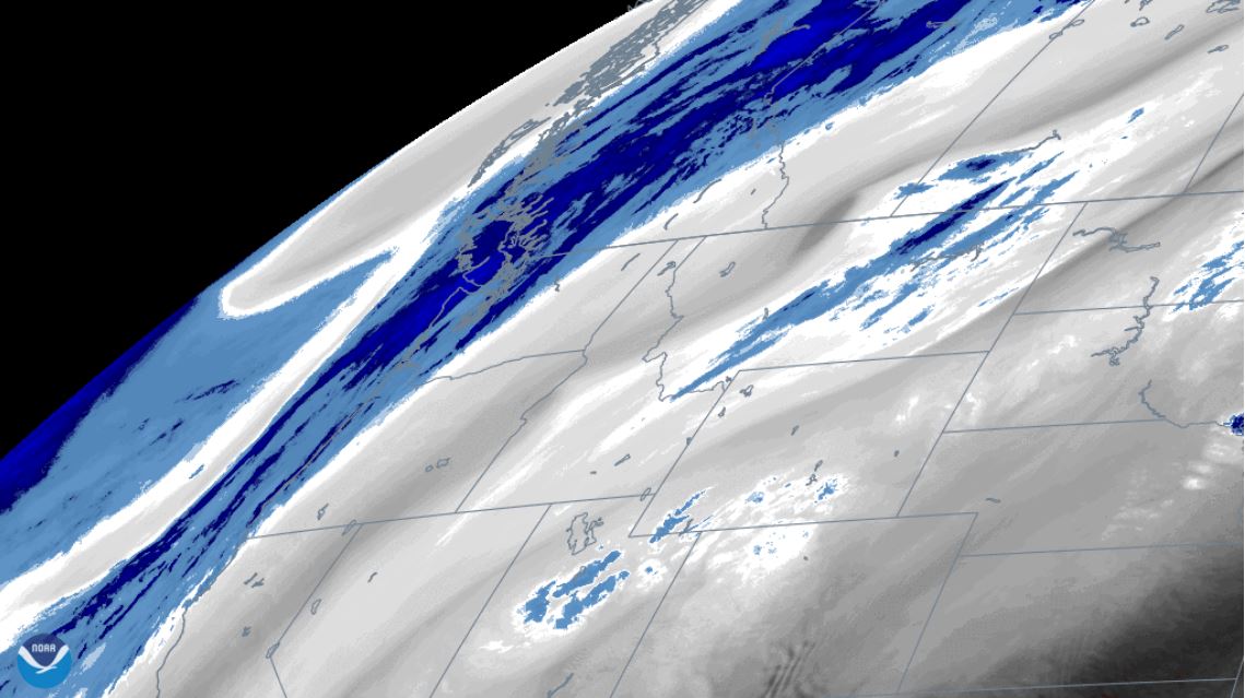
Water vapor imagery from NOAA’s GOES East satellite viewed an atmospheric wave pattern brought on by a digging trough the Pacific Northwest.
Feature Story
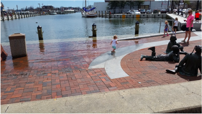
High-tide floods, also known as nuisance floods, sunny-day floods, and recurrent tidal floods, occur “when tides reach anywhere from 1.75 to 2 feet