
Feature Story
The job of forecasting is with NOAA’s National Weather Service (NWS), but the Center for Satellite Applications and Research (STAR), a program office within the National Satellite and Information Service (NESDIS)
Feature Story
On June 25, 2024, GOES-U, the final satellite in NOAA’s GOES-R Series, launched from NASA’s Kennedy Space Center in Florida.
Announcement
On June 17, 2025, NOAA issued a Request for Proposals in support of a Commercial Weather Data Pilot (CWDP) study related to ocean surface winds (OSW).
Earth from Orbit

Since mid-May, NOAA satellites have been closely monitoring heat signatures and thick plumes of smoke (some stretching thousands of miles) from wildfires burning across Canada. Driven by heat, drought, and dry conditions, more than 160 fires kicked…
Satellite Snapshots
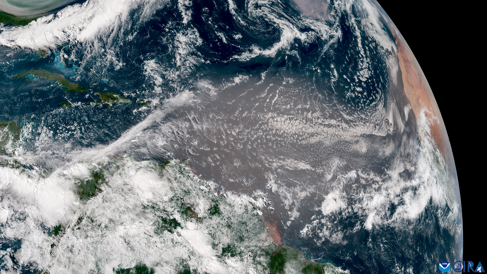
A giant plume of dust from the Sahara Desert made its way from Africa to the United States to kick off the start of meteorological summer in the Northern Hemisphere.
Feature Story
For 50 years , NOAA’s Geostationary Operational Environmental Satellites (GOES) have kept a constant vigil over the Western Hemisphere.
Feature Story
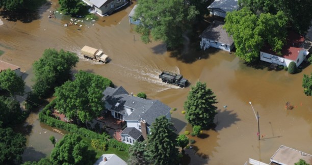
River flooding poses a serious threat to communities across the United States, endangering roughly 41 million Americans and putting an estimated $5.5 trillion in assets at risk.
Announcement
NOAA’s Satellite and Information Services (NESDIS) Joint Venture Partnerships (JVP) published a concept study, authored by Orion Space Solutions (Orion)