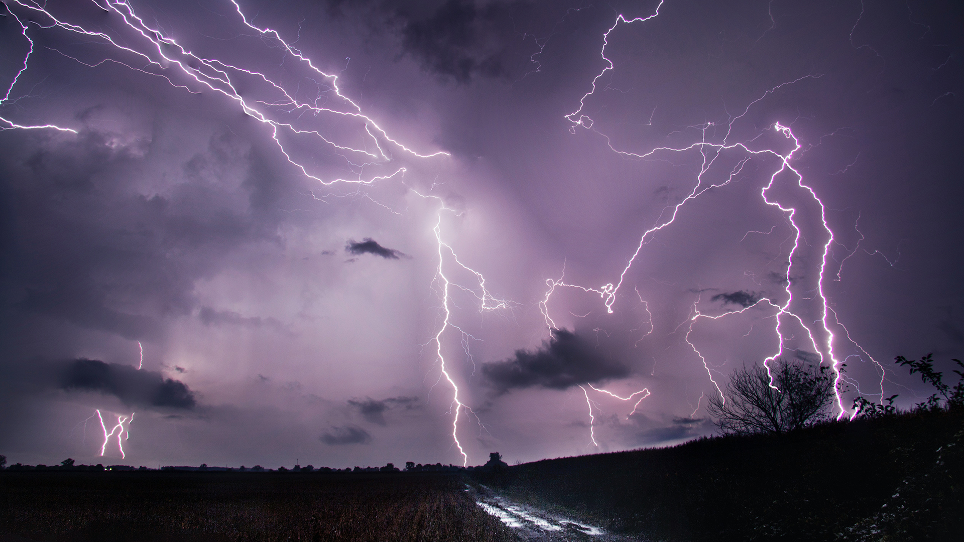
NESDIS education strives to provide educational material for teachers nationwide. Our goal is to help students understand the science behind satellite data and its impact on our world. Use the engaging educational resources, games, simulations, and videos below to help inspire the next generation of scientists.
Educational Resources Directory
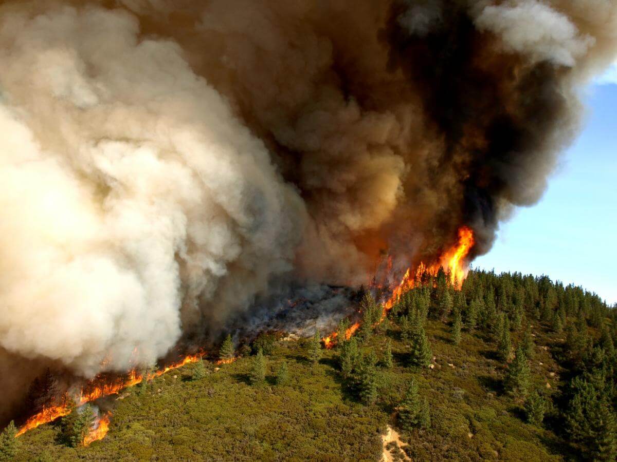
Learn about dust, ash, fire & smoke, and how we use satellites to monitor and study them.
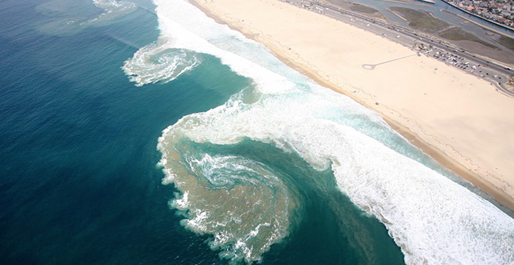
Stay afloat, yell for help, swim parallel to the shore. Do not exhaust yourself fighting the current.
Scientists use satellite information to detect the health of forests during droughts and other severe weather events. Trees are an important part of the carbon cycle, so satellite information can help us understand more about that as well

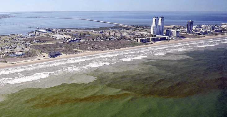
A red tide is an event that occurs on the coastline when algae—a plant-like organism—grows out of control. The name “red tide” comes from the fact that overgrown algae can cause the water to change color. Red tides can be hazardous to human health and sea life.