
Events
Online (Hosted)

LEO Science Seminar: Developing the Next Generationof Female Environmentalists - My Trip to Pakistan
Nov 14, 2024
A project empowering Pakistani women scientists in climate change via curriculum, research, and workshops with NC State, NOAA, and LEO satellite data.
Online (Hosted)

Oct 23, 2024
In April-May 2024, extreme rainfall in Rio Grande do Sul caused deadly floods, captured by NOAA satellites monitoring precipitation, moisture, and vapor levels.
Online (Hosted)

Oct 21, 2024
HARP2 on the PACE mission measures aerosols and clouds using multi-angle polarization; initial performance data and aerosol retrieval results are available.
Online (Hosted)

Sep 26, 2024
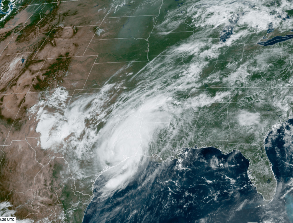
Highlight of nowcasting events where guidance under-performed, but the imagery gave forecasters more confidence that the system was stronger than otherwise indicated.
In-Person & Online
Sep 18, 2024
A NOAA NESDIS workshop will examine the impacts of storm Beryl using NOAA satellite data and products to assess the successes and challenges of using weather satellites operationally.
Online (Hosted)

Jul 15, 2024
NOAA Coral Reef Watch monitors coral reef ecosystems using satellite and in situ observations.
Online (Hosted)

Jun 18, 2024
The PACE mission seeks to enhance our understanding of Earth's ocean and atmosphere by measuring phytoplankton, aerosols, and clouds, thereby improving climate and ecological predictions.
Online (Hosted)

Jun 17, 2024
LEO satellite data is used in National Weather Service operations for a wide range of applications including forecasting convection and observing sea spray over oceans.