
NOAA’s latest generation of Geostationary Operational Environmental Satellites (GOES), known as the GOES-R Series, is the nation’s most advanced fleet of geostationary weather satellites.
Find out more about these satellites as well as the latest news below.
Introducing the GOES Satellites
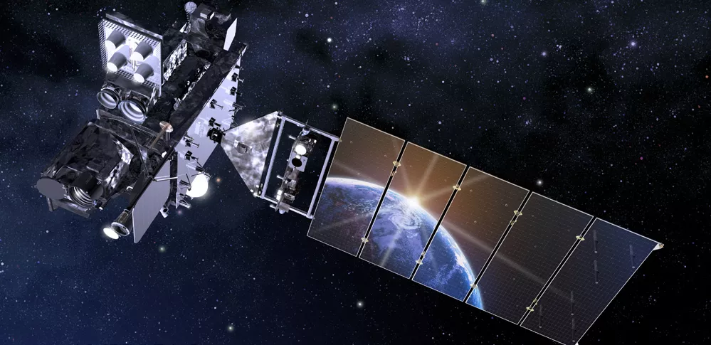
An introduction to NOAA's GOES-R Series Satellites - including GOES-R GOES-16 GOES East and GOES-S GOES-17 GOES West.
Introducing the GOES Series GOES 101
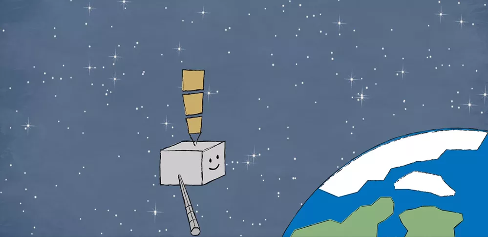
Satellite science is fun for kids too! From weather and hazards on Earth to search and rescue and bursts of energy from the sun, the GOES-R satellite will see it all from 22,000 miles above our planet!
Watch GOES-R Meet GOES-R
GOES News
-
Earth from Orbit
Satellite imagery shows a late-season snowstorm that dropped record-breaking amounts of snowfall in… -
Earth from Orbit
NOAA satellites monitored numerous fires over the Southern Plains, the majority of which were… -
Earth from Orbit
NOAA satellites monitored lake-effect clouds flowing over Lake Superior. Learn more about this… -
Earth from Orbit
NOAA satellites monitored a large plume of dust from the Sahara Desert as it traveled off the west… -
Satellite Snapshots
False color satellite imagery shows wave clouds and red snow on the ground. -
Satellite Snapshots
GOES East zoomed in on two low pressure systems swirling over the North Atlantic while cloud… -
Satellite Snapshots
Water vapor imagery from NOAA’s GOES East satellite viewed an atmospheric wave pattern brought on… -
Feature Story
NOAA's GOES-T satellite is fully assembled and beginning a set of rigorous tests to ensure it…