
NOAA’s latest generation of Geostationary Operational Environmental Satellites (GOES), known as the GOES-R Series, is the nation’s most advanced fleet of geostationary weather satellites.
Find out more about these satellites as well as the latest news below.
Introducing the GOES Satellites
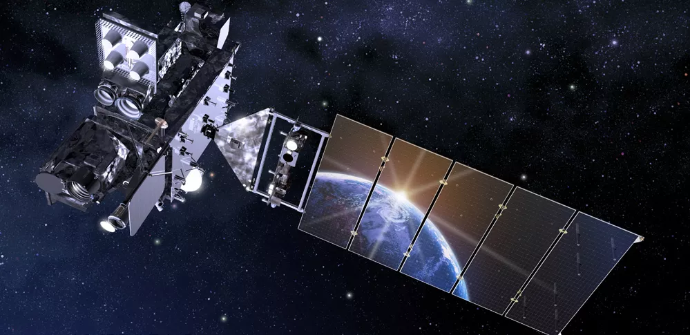
An introduction to NOAA's GOES-R Series Satellites - including GOES-R GOES-16 GOES East and GOES-S GOES-17 GOES West.
Introducing the GOES Series GOES 101
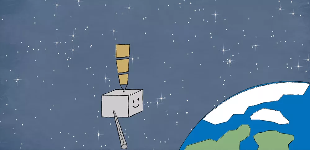
Satellite science is fun for kids too! From weather and hazards on Earth to search and rescue and bursts of energy from the sun, the GOES-R satellite will see it all from 22,000 miles above our planet!
Watch GOES-R Meet GOES-R
GOES News
-
Feature Story
NOAA’s GOES-16 (GOES-East) and GOES-17 (GOES-West) satellites are helping the public see where… -
Feature Story
GOES satellites provide beautiful images of Earth. But what you see are digital representations of… -
Feature Story
NASA and NOAA have appointed a board to investigate an instrument anomaly aboard the GOES-17… -
Feature Story
This week, NOAA will begin releasing GOES-17 Advanced Baseline Imager (ABI) “beta” level data and… -
Feature Story
This new imagery shows data are currently available from all 16 ABI channels. -
Feature Story
This short movie of the sun’s rotation from March 2021, one-million-degree solar plasma in action -
Feature Story
This is an introduction to NOAA's GOES-R Series Satellites - including GOES-R GOES-16 GOES… -
Satellite Snapshots
Hurricane Isaac made landfall in Louisiana in the evening of August 28, 2012.