
Feature Story

Here is a list of some of the most memorable solar events that have affected us here on Earth.
Satellite Snapshots

NOAA's JPSS Program satellites captured flooding along the Ohio River on April 7, 2025.
Announcement

In January 2025, NOAA/NESDIS completed a Phase 1 of the Radio Occultation (RO) Analysis of Alternatives (AoA) to assess constellation concepts for Global Navigation Satellite System (GNSS) RO capabilities, as the set of six COSMIC-2 satellites reach…
Feature Story

The March 2025 three-month summaries of temperature and precipitation impacts and outlooks are now available for 13 regions and subregions.
Feature Story
NOAA’s GOES-19 satellite has officially began operations as GOES East.
Notice of Changes
More detail about the change including hyperlinks to the product’s website(s). Include this information as the last line:
The Seismicity Catalog Collection product is being decommissioned and the data will only be available via an archive…
The Seismicity Catalog Collection product is being decommissioned and the data will only be available via an archive…
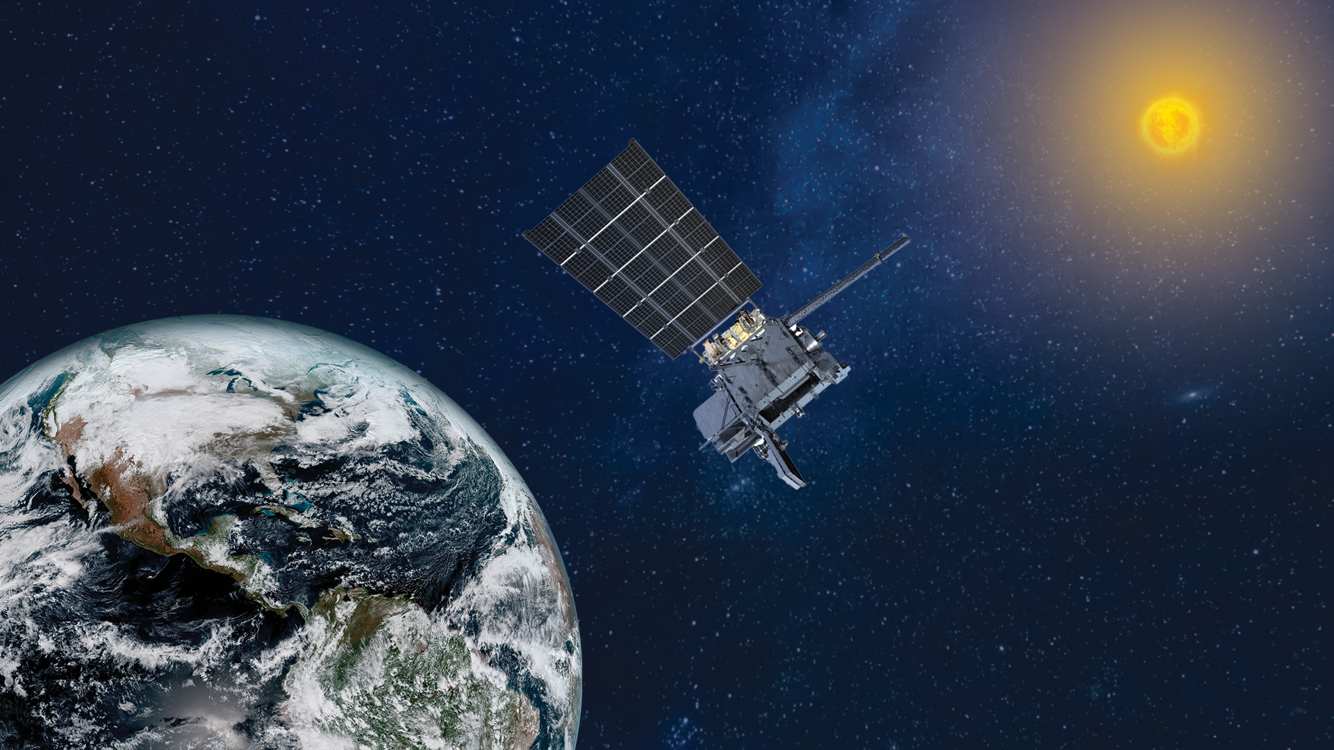
Announcement
In January 2025, NOAA/NESDIS completed a Phase 1 of the Radio Occultation (RO) Analysis of Alternatives (AoA) to assess constellation concepts for Global Navigation Satellite System (GNSS) RO capabilities, as the set of six COSMIC-2 satellites reach…
Feature Story

April 6 is also known as 406 Day in honor of the frequency used by distress beacons. This interactive story map outlines why this day is celebrated.