
Satellite Snapshots
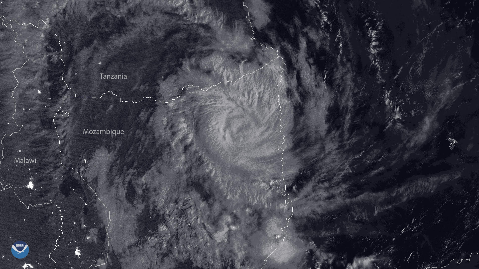
Tropical Cyclone Kenneth roared ashore Thursday, becoming the first Category 4 storm in the last 60 years to make landfall over…
Satellite Snapshots
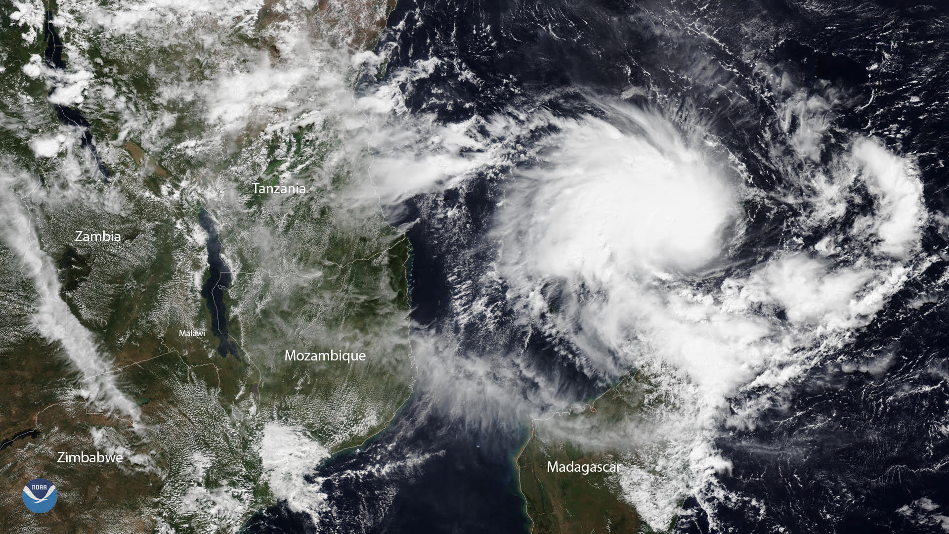
Tropical Cyclone Kenneth is on track to pass near the Comoros Islands before making landfall near the Tanzania-Mozambique border later this week.
Satellite Snapshots
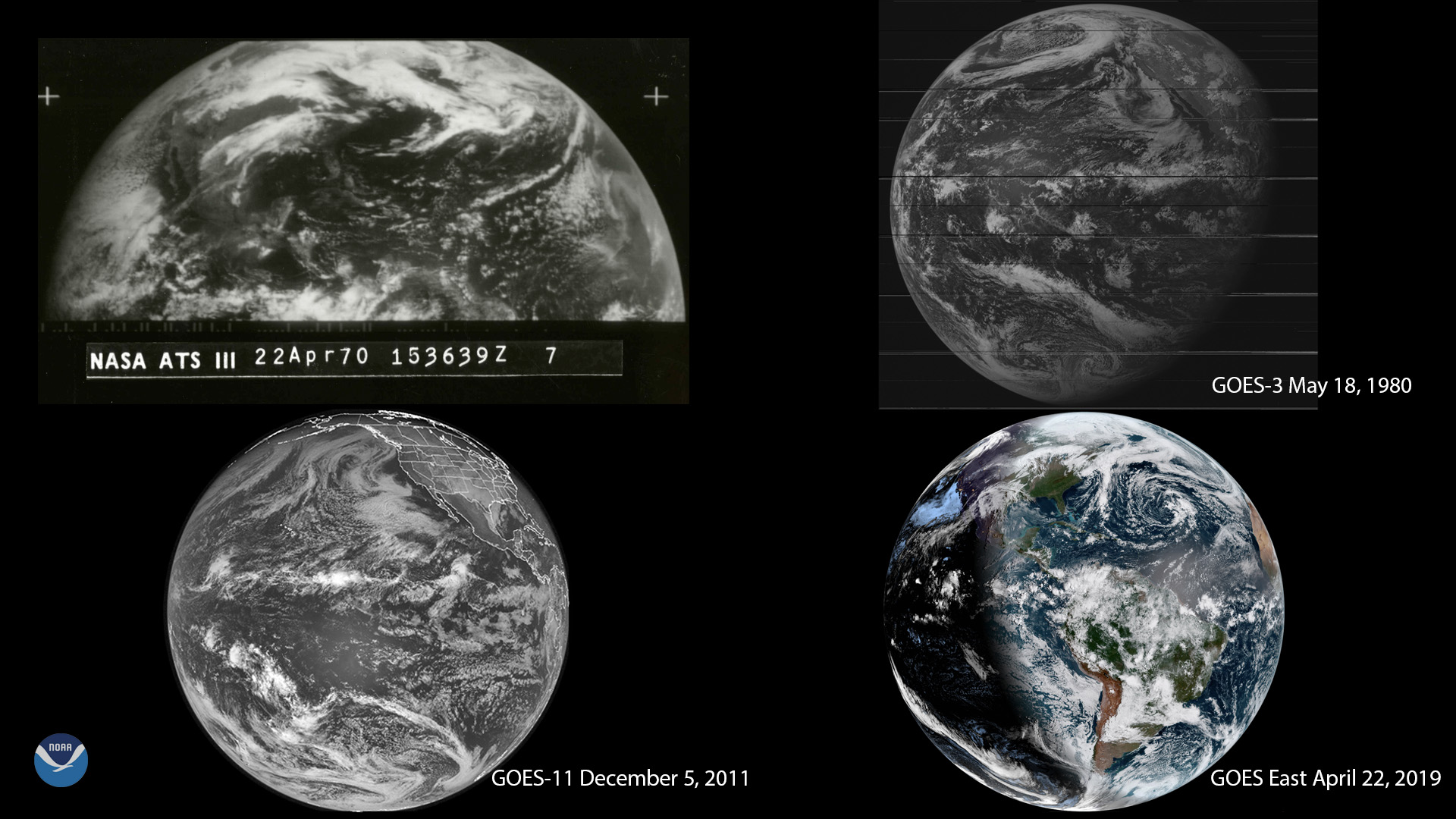
Earth Day was born from former Wisconsin Sen. Gaylord Nelson’s desire to bring environmental issues to the forefront of the national political agenda.
Satellite Snapshots
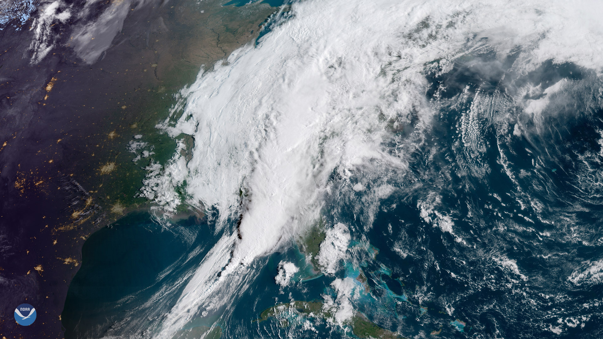
A sprawling storm system stretches from the Florida Panhandle into New England in this April 19, 2019, sunrise view from GOES East…
Feature Story

Rain forests may contain more than half the Earth’s plant and animal species, but in terms of diversity, coral reefs are…
Satellite Snapshots
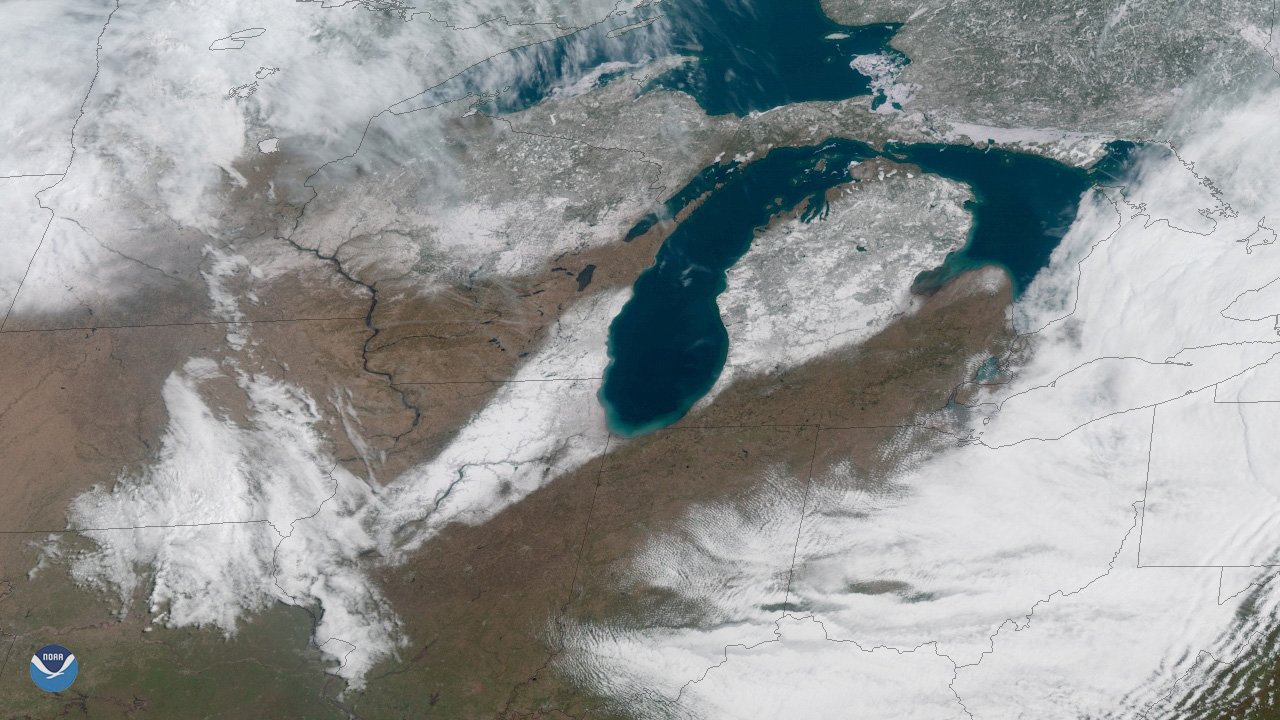
Nothing says spring quite like a little bit of mid-April snow, right? A swath of snow stretches from central Illinois to northeast Michigan.
Satellite Snapshots
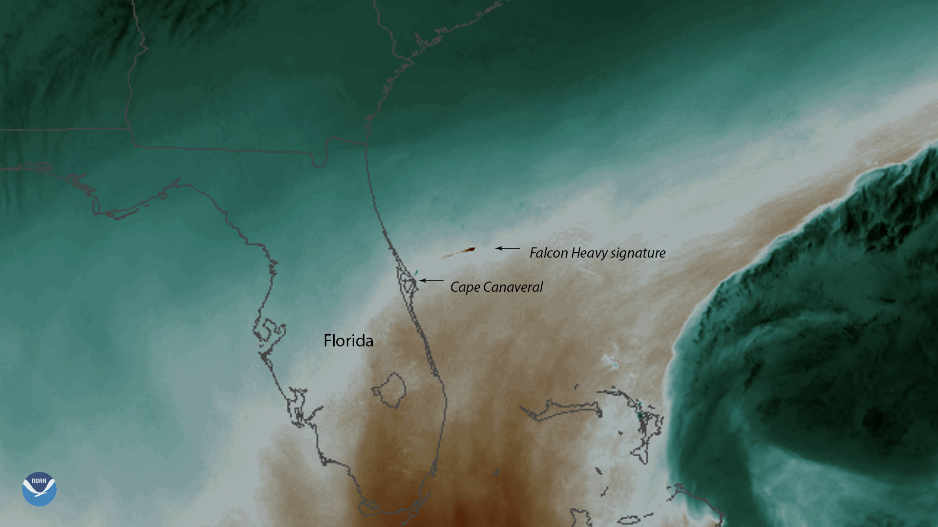
SpaceX’s Falcon Heavy, the world’s most powerful operational rocket, launched the communications satellite Arabsat-6A into orbit.
Satellite Snapshots
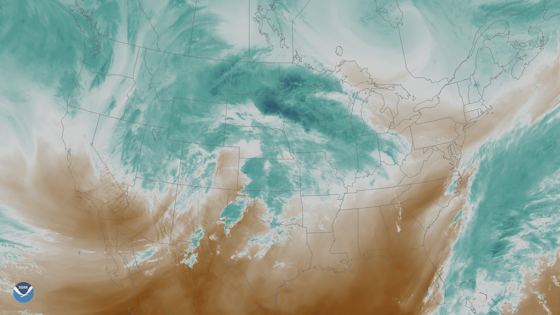
A powerful late-season winter storm is set to unleash heavy snow and high winds across parts of the north-central Plains and the upper Midwest.