
Satellite Snapshots
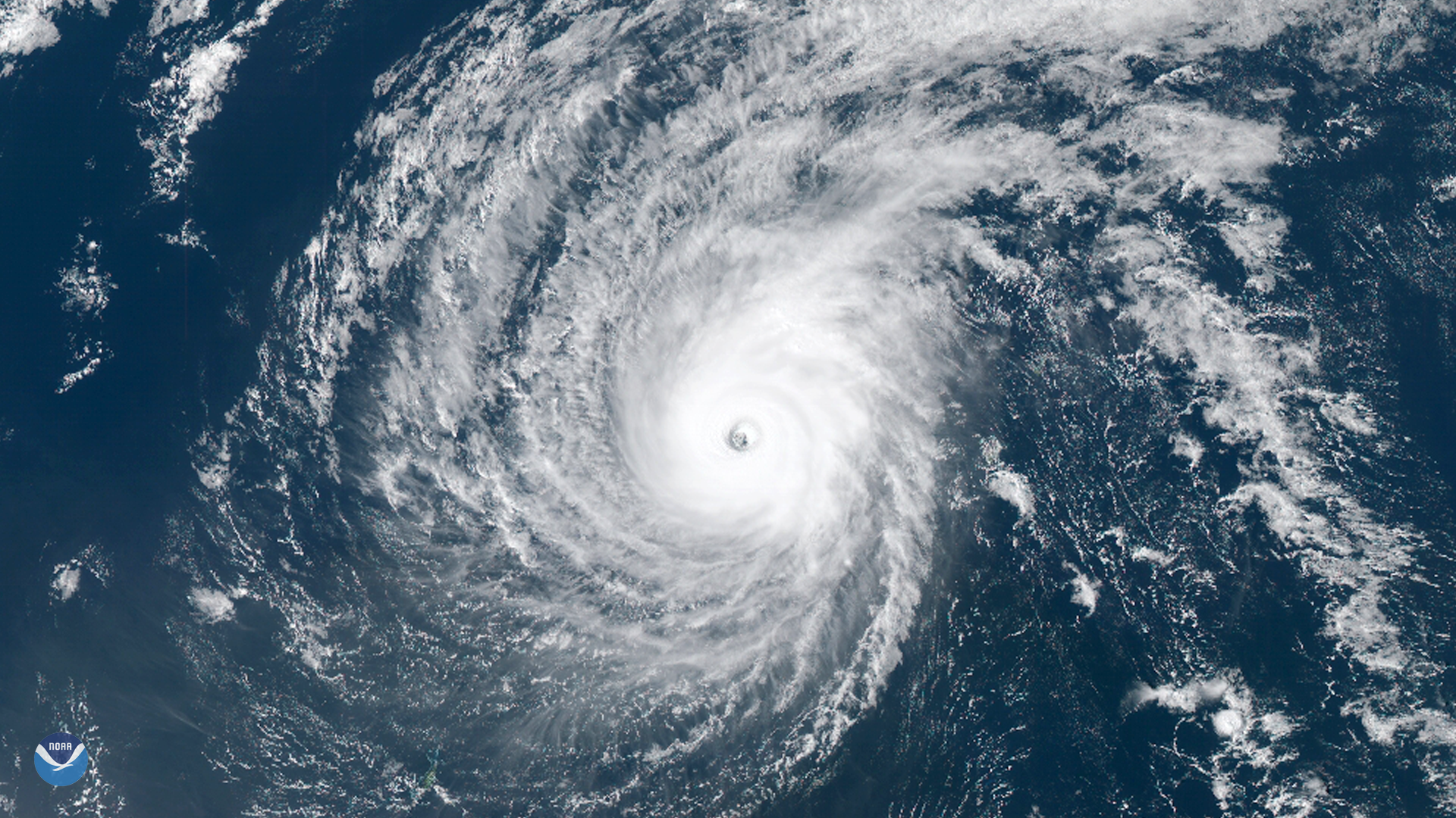
Typhoon Wutip, the strongest February storm seen in the western Pacific Ocean in 70 years, passed south of Guam and may brush the…
Satellite Snapshots
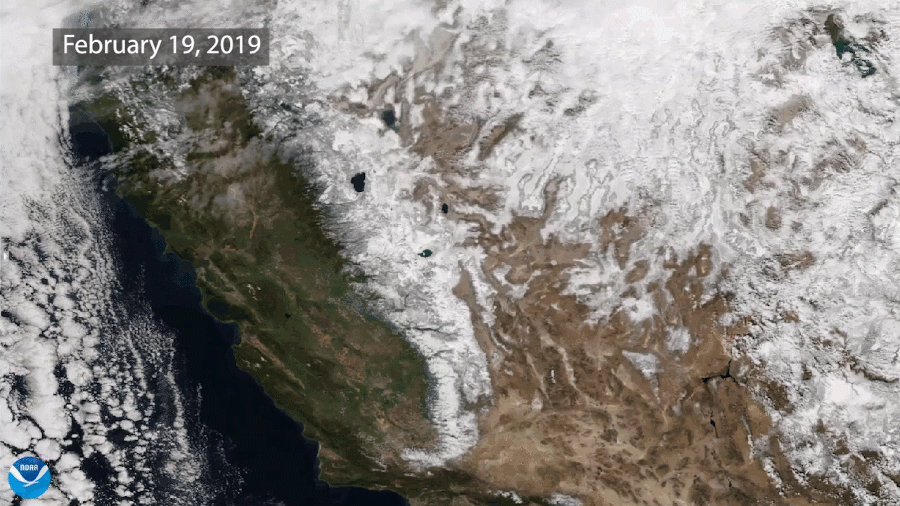
Two views of the Sierra Nevada mountains, taken approximately one year apart in 2018 and 2019 by NOAA-20, shows much more snow in 2019.
Feature Story
It’s official: GOES-17 is now operational as NOAA’s GOES West satellite. GOES-17 GeoColor view of the Northern Hemisphere,…
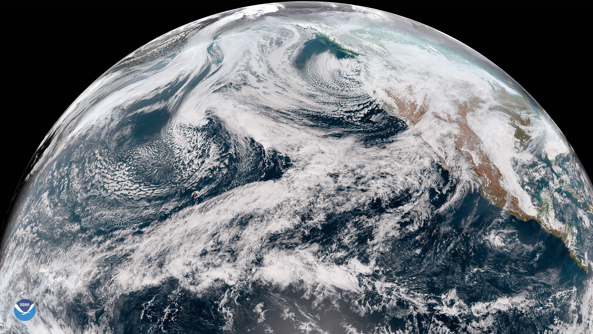
Satellite Snapshots
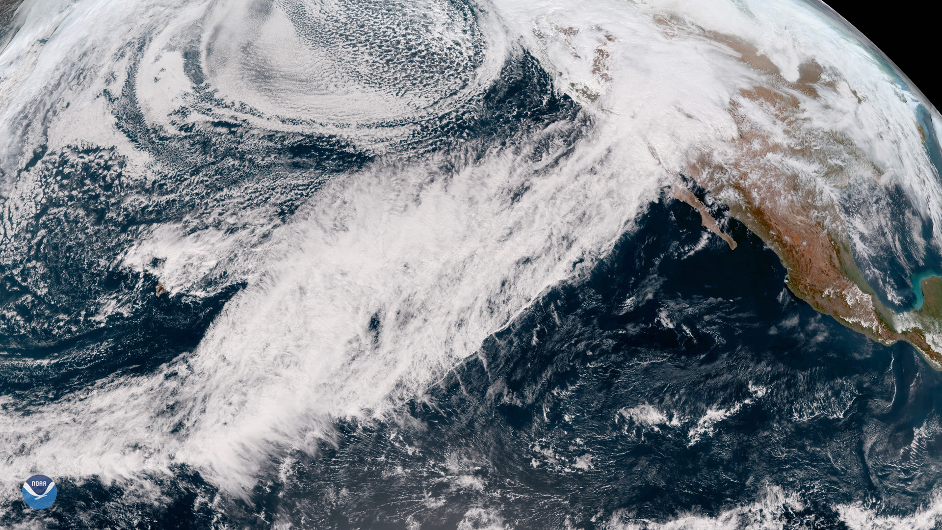
Satellite imagery shows an atmospheric river that drenched California with heavy rain and mountain snow this week.
Satellite Snapshots
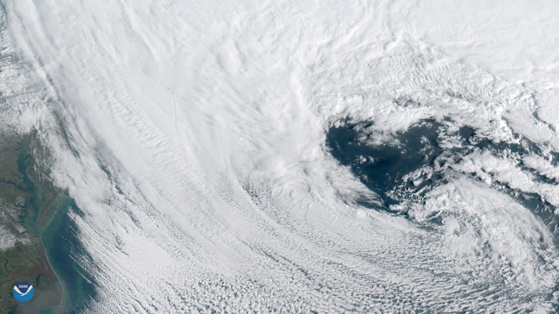
GOES East spied this heart-shaped cloud pattern within a powerful nor'easter that barreled up the U.S. East Coast on March 13, 2018.
Satellite Snapshots
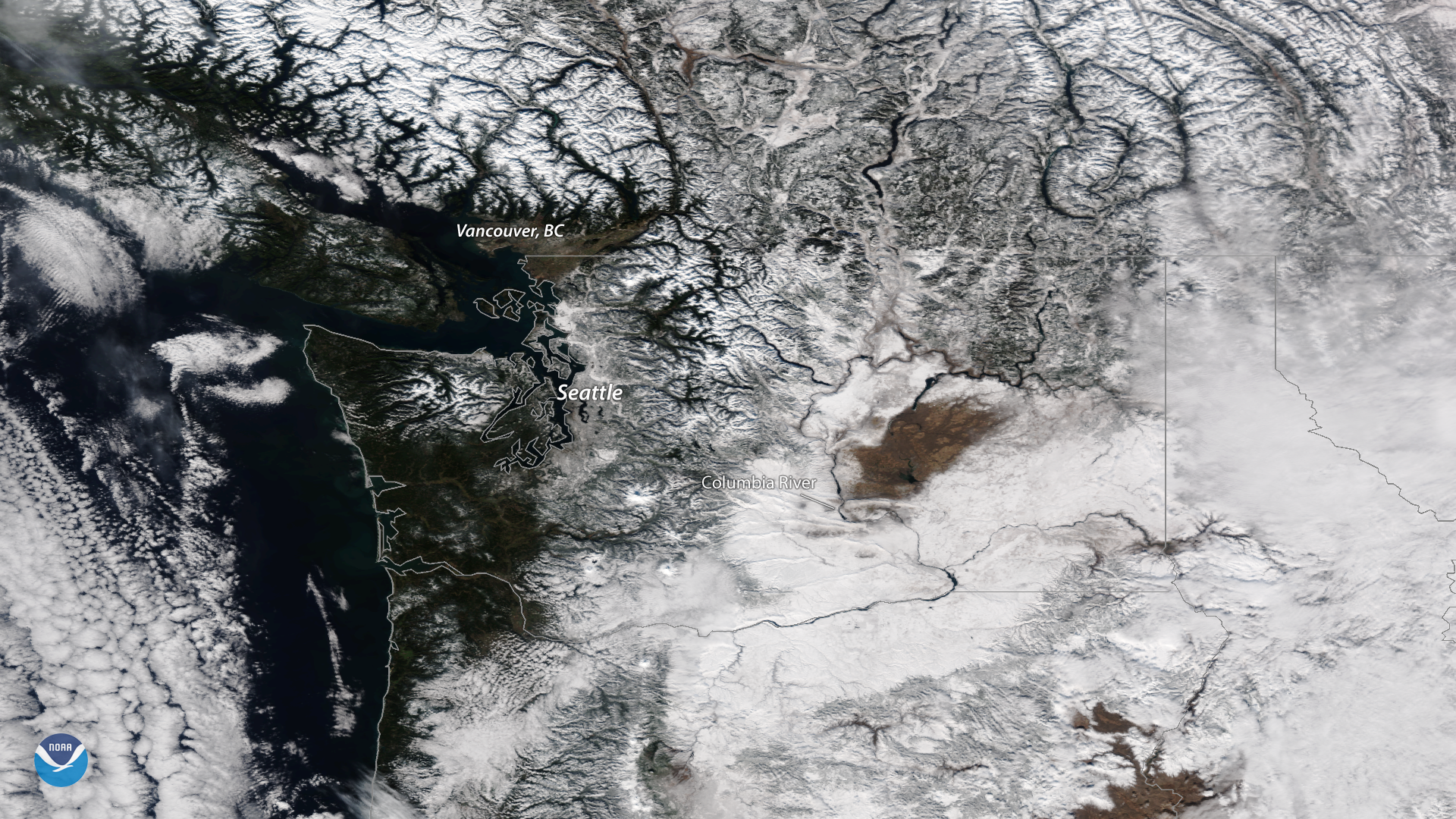
This spectacular image, seen by the NOAA-20 satellite on Feb. 6, 2019, reveals a wintry landscape in much of the Pacific Northwest.
Feature Story
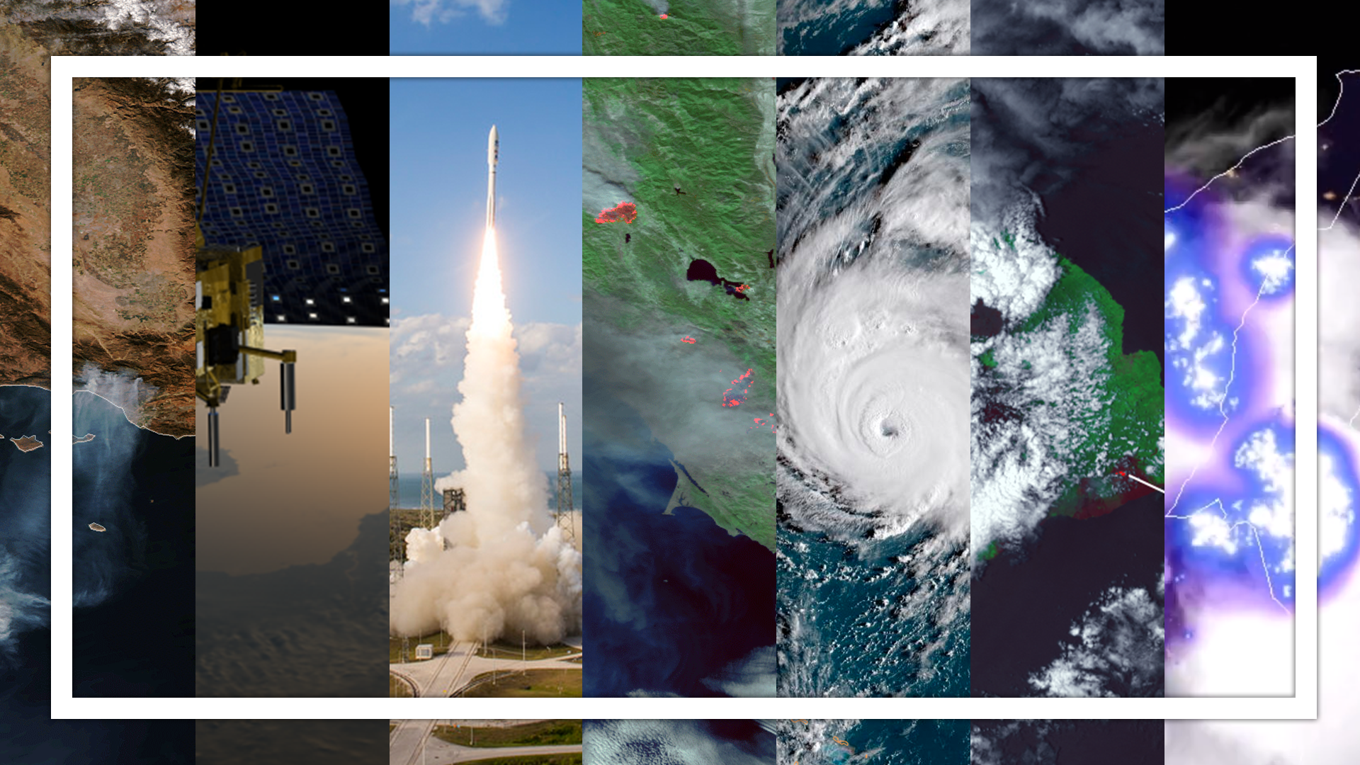
Although we've already started another trip around the sun, we’d like to take a moment to look back on 2018…
Satellite Snapshots
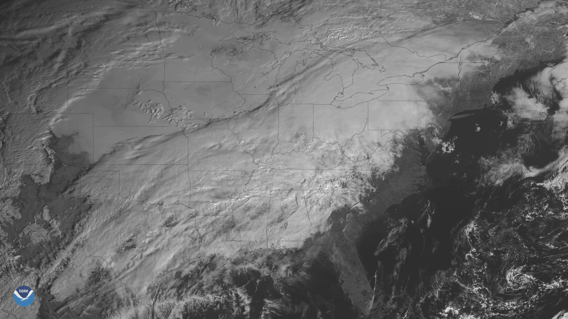
The GOES East satellite is watching a developing storm system bringing wintry weather to many states east of the Rockies.