
Feature Story
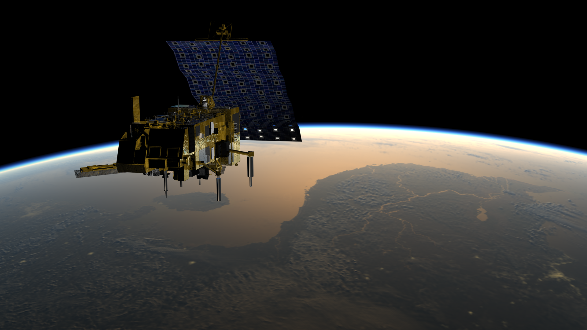
A new European weather satellite launching in November 2018 will provide the next generation of data we depend on to predict…
Satellite Snapshots

Super Typhoon Yutu is headed for the Philippines after battering parts of the Northern Mariana Islands in the Pacific Ocean.
Feature Story

Every day we rely on advanced technology – whether it's in the form of our cell phones, a GPS app or just having the lights…
Feature Story
NOAA’s GOES-17 satellite is getting ready to move to its new vantage point at 137.2 degrees west longitude, allowing us to…
Satellite Snapshots
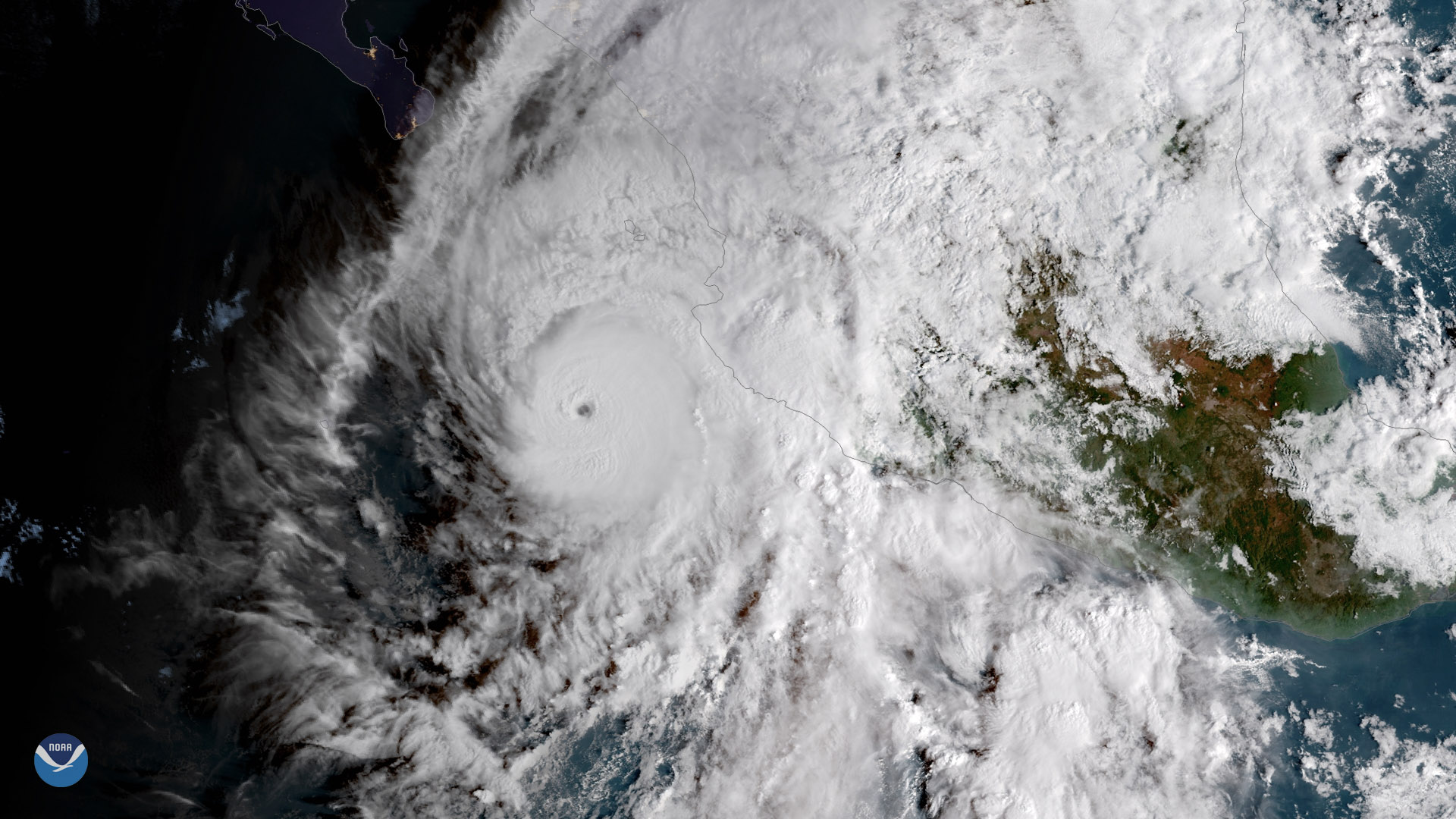
Willa was the tenth major hurricane (defined as a Category 3 storm or higher) to form in the eastern Pacific basin in 2018.
Satellite Snapshots
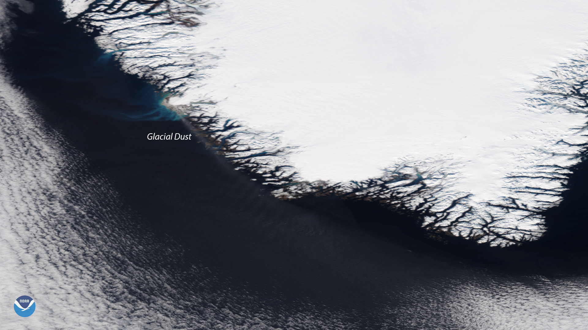
The NOAA-20 VIIRS instrument captured a rarely seen plume of high-latitude dust off the coast of Greenland on October 14, 2018.
Satellite Snapshots

Clear skies allowed NOAA-20’s VIIRS instrument to capture this stunning view of snow blanketing areas from the Rockies to the Plains on Oct. 16, 2018.
Satellite Snapshots
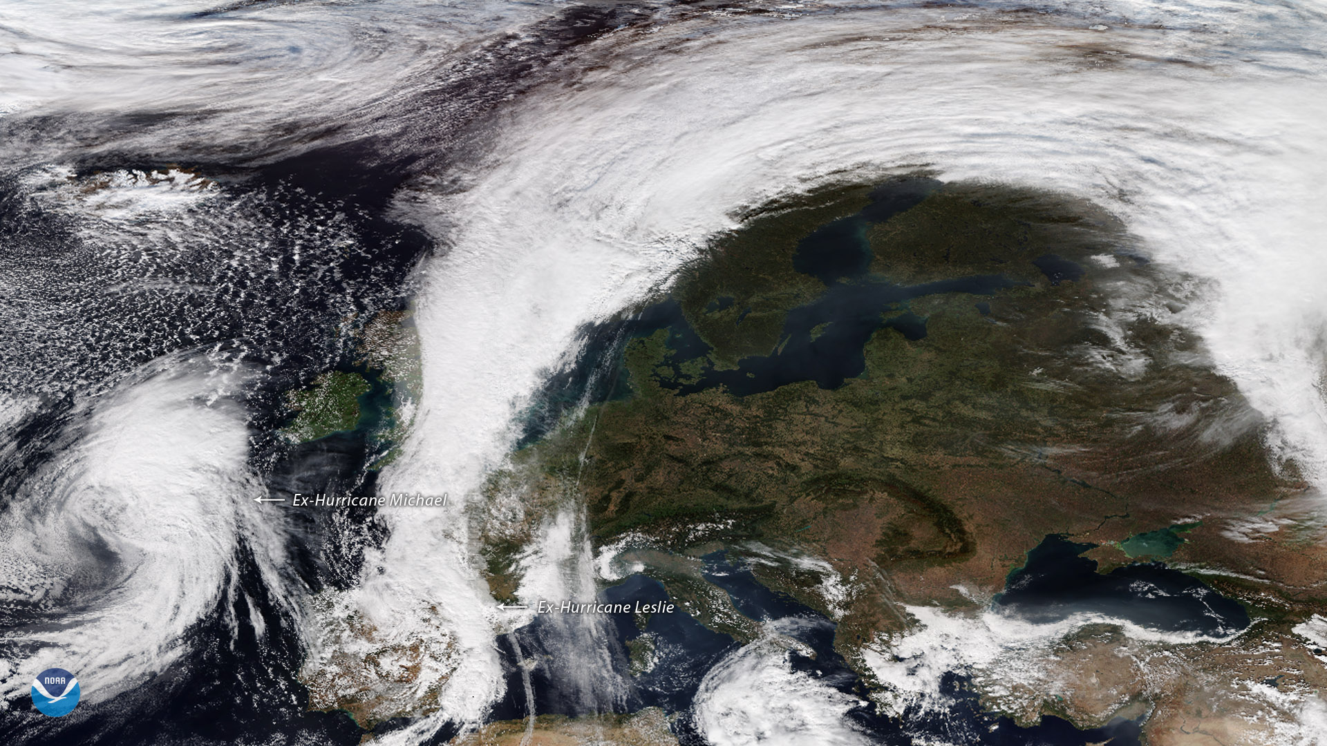
Former Hurricane Leslie moves over the Iberian Peninsula, as former hurricane Michael heads toward northwestern Spain.