
Satellite Snapshots
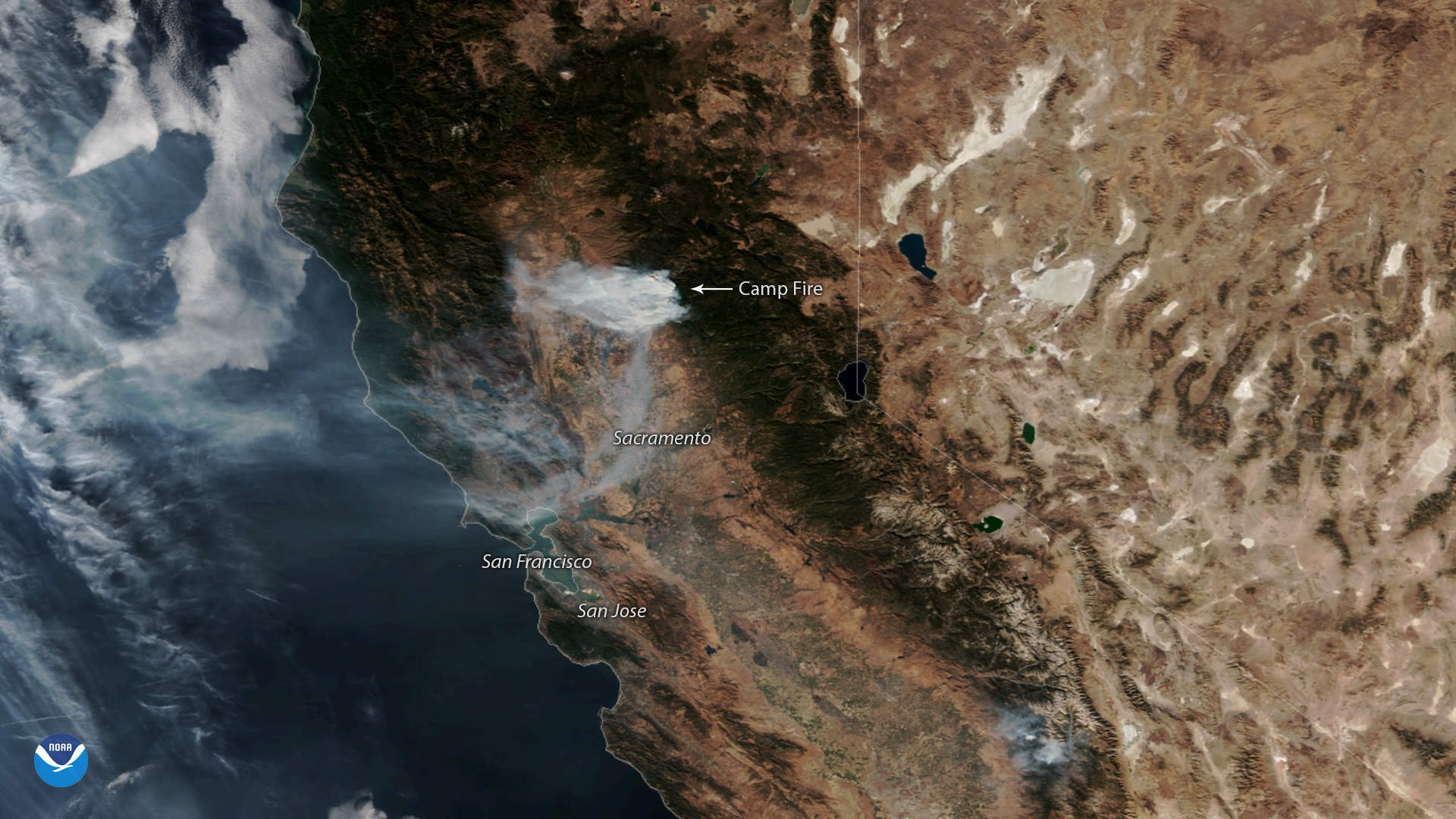
NOAA-20 captured this imagery of the fast-moving Camp Fire in Northern California on Nov. 12, 2018.
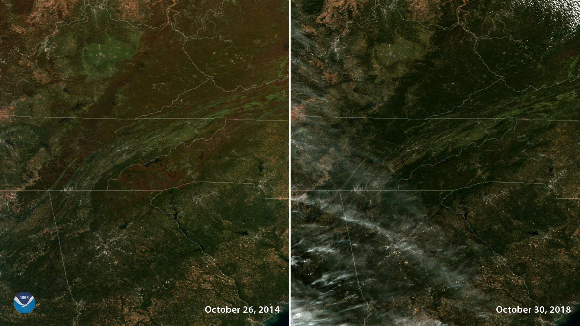
Satellite Snapshots

Plumes of smoke from California's Camp Fire are seen stretching across portions of the state in this NOAA-20 satellite image.
Satellite Snapshots
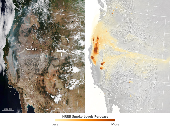
Each fall, when leaves turn vibrant colors, the changing of the seasons is not only visible on the ground – we can also see it from space.
Feature Story
By the time the U.S. Forest Service declared the Mendocino Complex Fire 100 percent contained on Sept.18, it had scorched more than 459,000 acres, des
Satellite Snapshots

This GOES East image shows a sprawling storm system across large portions of the Midwest, South, and Eastern U.S.
Satellite Snapshots

NOAA-20 imagery shows dust blowing from Pakistan and Iran over the Gulf of Oman and the Arabian Sea.
Feature Story
If you have a smartphone, you’ve likely received a severe weather alert warning of an impending flash flooding event, a…
Satellite Snapshots
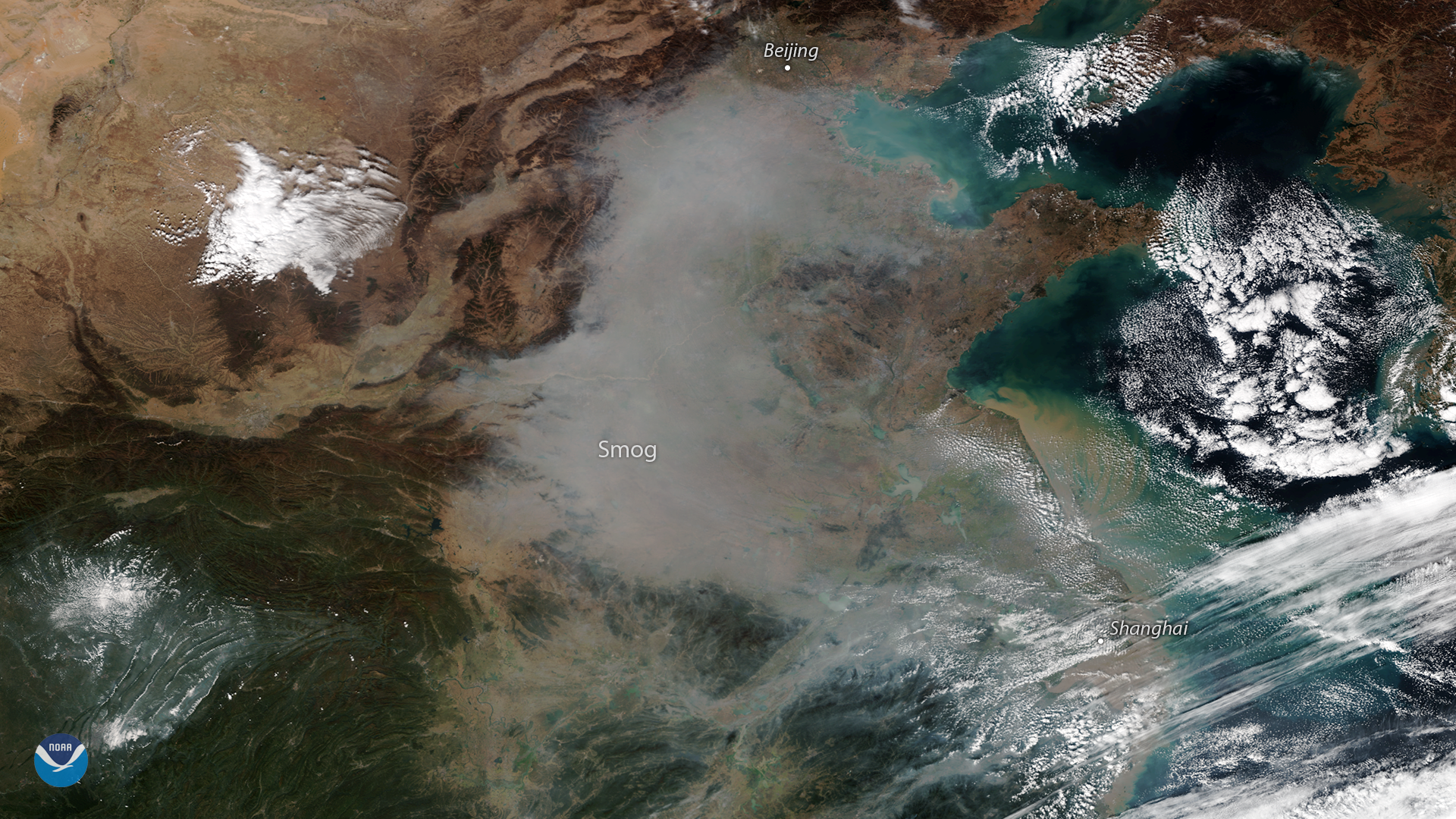
A plume of smog appears over northeastern China in this true-color image seen from the NOAA-20 satellite on October 31, 2018.