
Satellite Snapshots
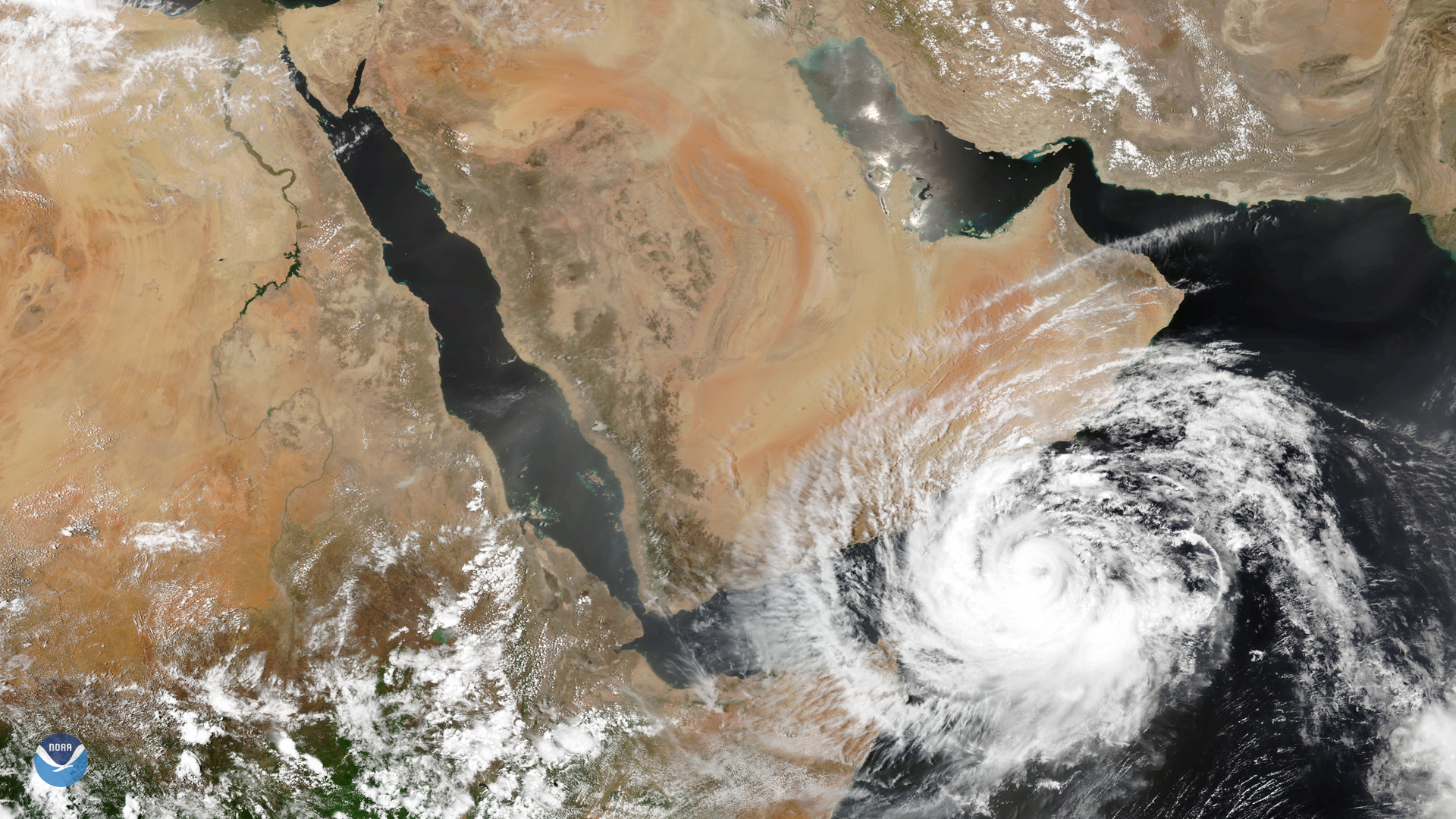
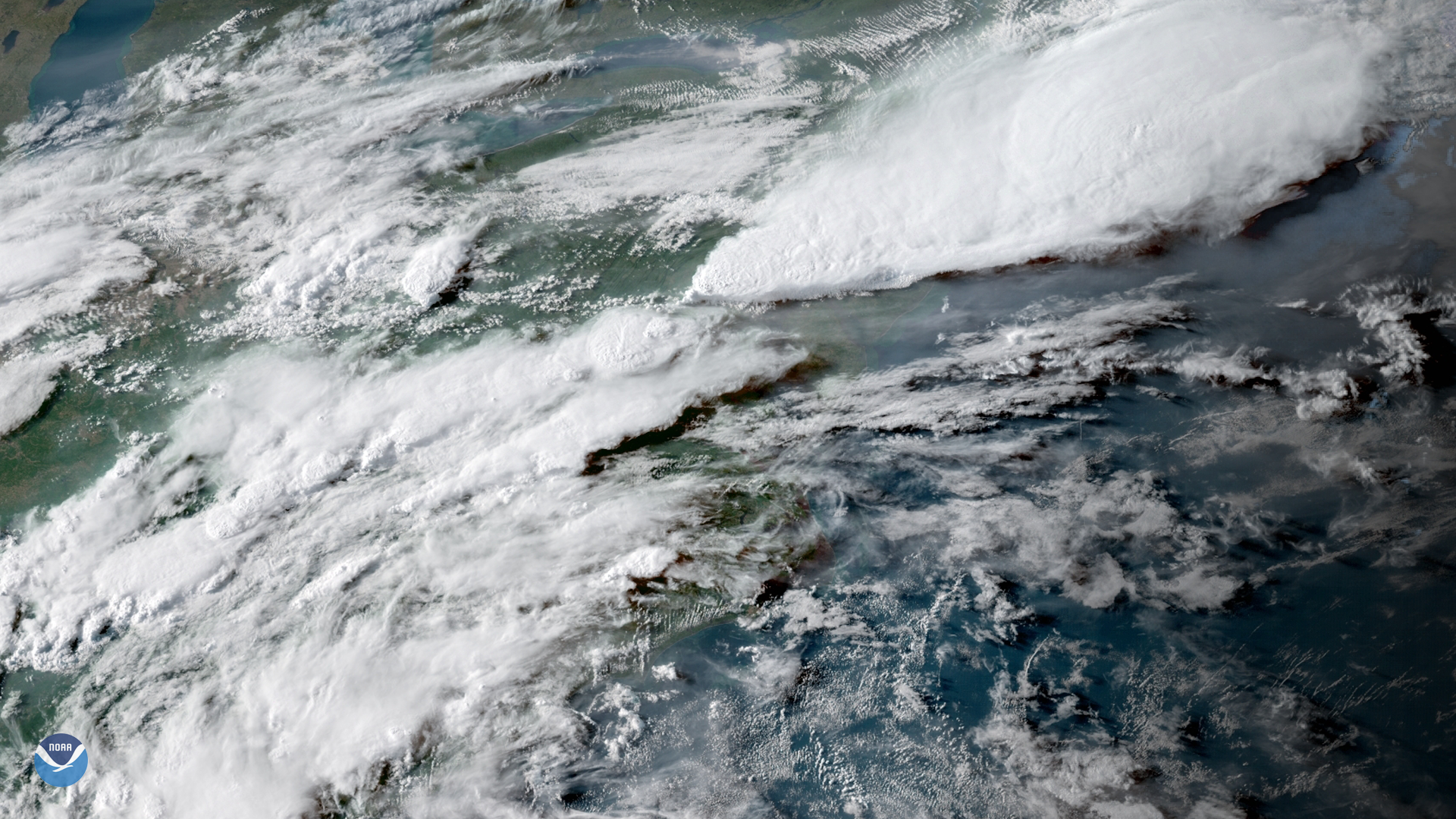
The NOAA-20 satellite captured this image of severe tropical cyclone Mekunu nearing the southern Arabian Peninsula on May 24, 2018. The dangerous…
Feature Story

NOAA’s Tim Schmit has been nominated for a ‘Sammies’ award and you can note NOW for him HERE! The Samuel J. Heyman Service to…
Feature Story
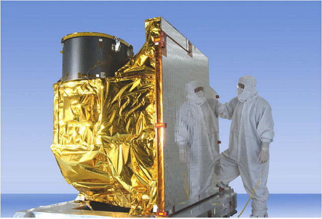
The GOES-R Program is currently addressing a performance issue with the cooling system encountered during commissioning of the…
Feature Story
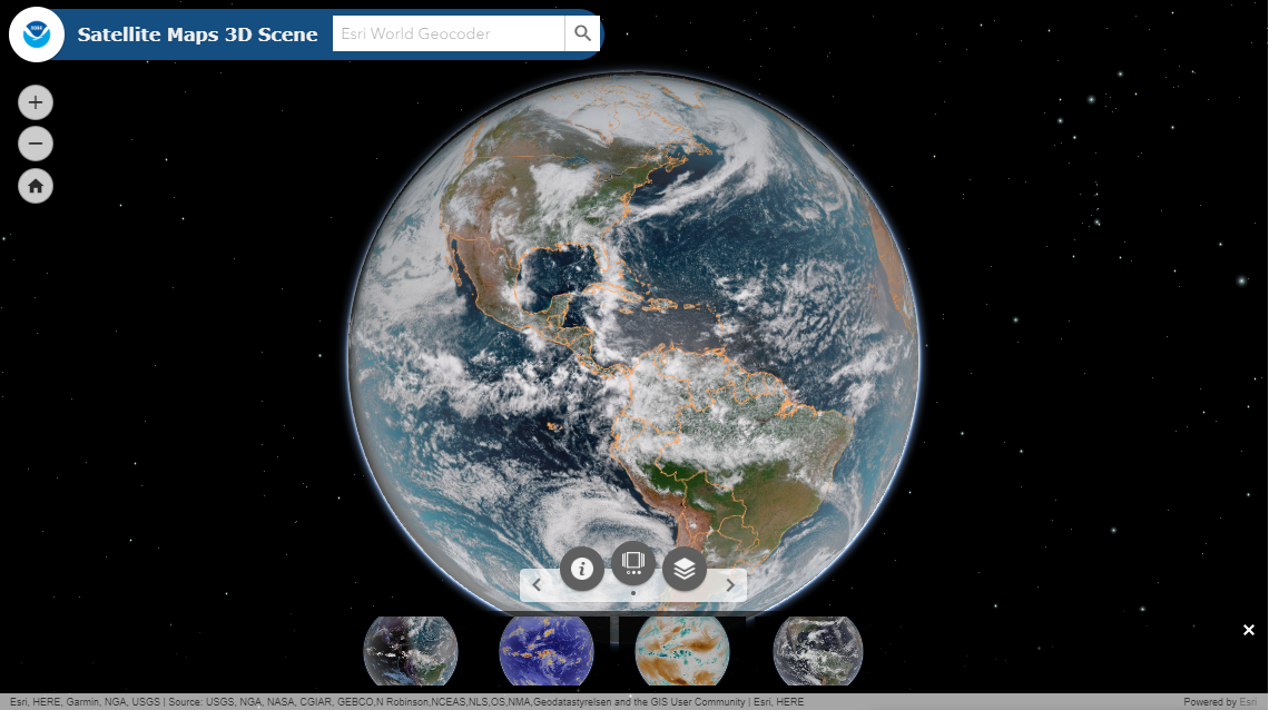
Are you a weather enthusiast? Or someone who loves maps and beautiful images of the Earth? We’ve got you covered. NOAA…
Feature Story
NOAA GOES-17 satellite has transmitted its first Geostationary Lightning Mapper (GLM) data.
Announcement
day, NOAA released a Request for Information (RFI) seeking information on commercial capabilities to support Commercial Weather Data Pilot Round 3 and other NOAA observation requirements.
Satellite Snapshots
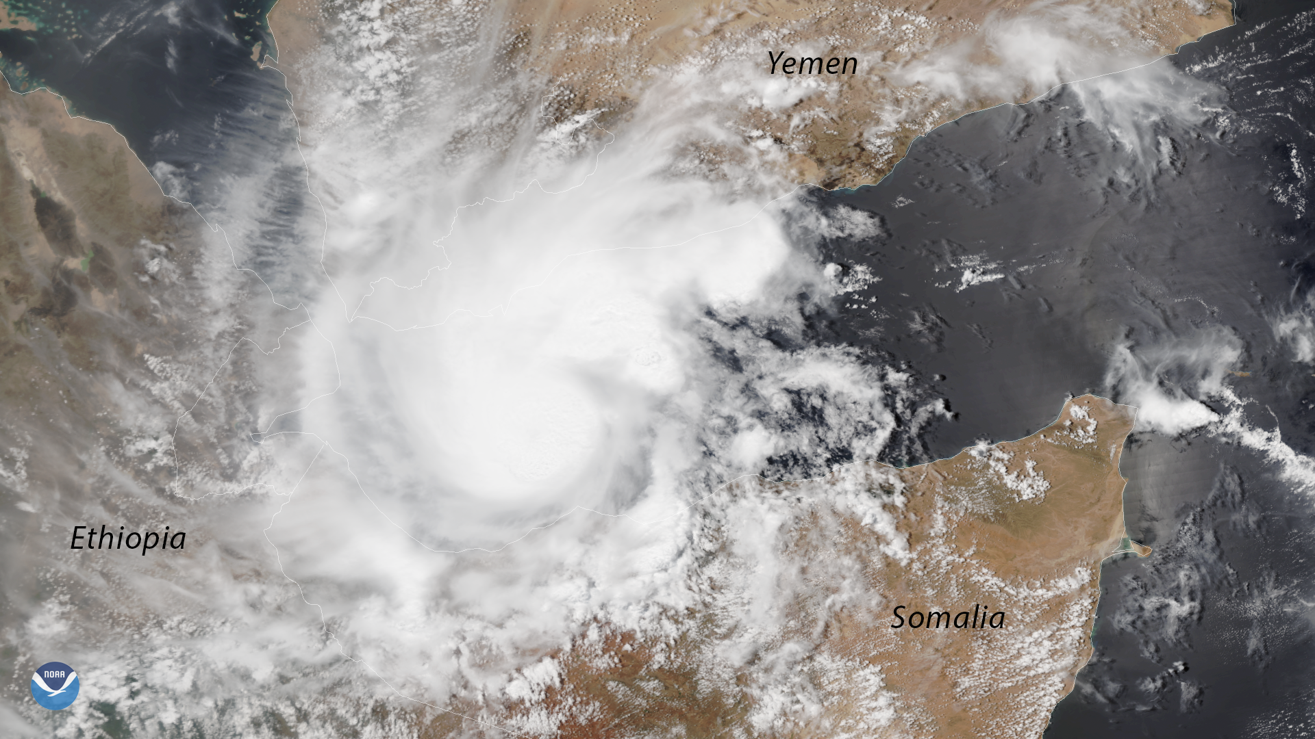
The NOAA-20 polar-orbiting satellite captured this image of a rare tropical cyclone in the Gulf of Aden, between Yemen and Somalia, on…
Satellite Snapshots
GOES East captured this image of the severe thunderstorms that struck the Northeastern U.S. on May 15, 2018. The storms produced strong…