
Satellite Snapshots
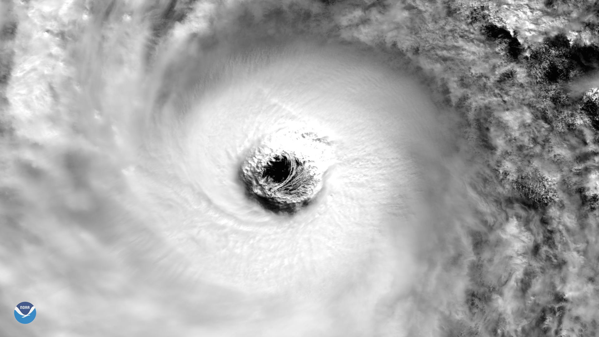
VIIRS instrument aboard NOAA/NASA Suomi NPP Satellite captured this image of Super Typhoon Lan.
Feature Story

NOAA’s Joint Polar Satellite System (JPSS) provides global observations that serve as the backbone of both short- and long-term forecasts, view a number of multimedia presentation on this page.
Feature Story

Recently, the primary subassemblies of the GOES-T satellite were brought together in a successful operation.
Satellite Snapshots
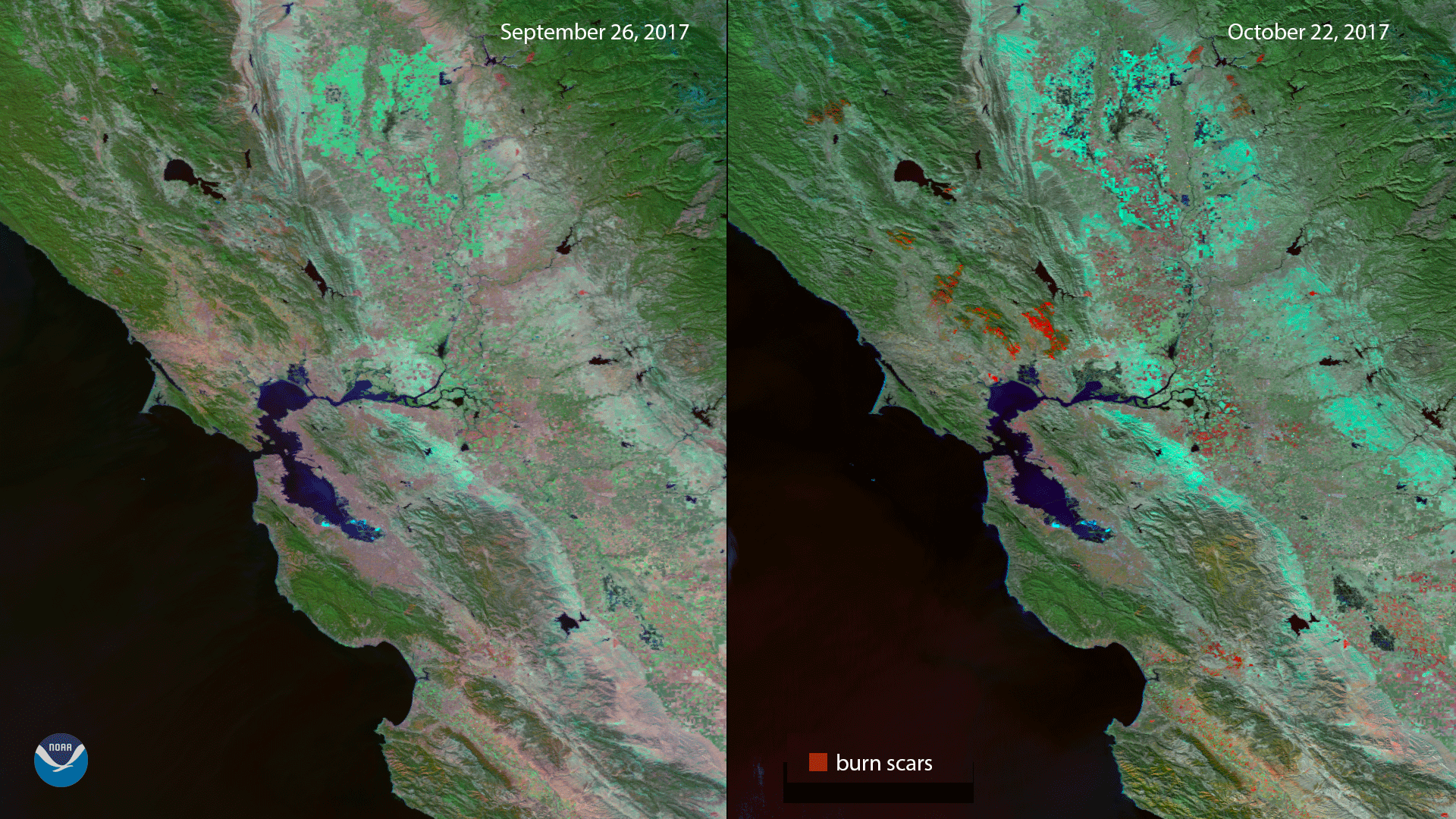
Imagery from before and after severe fires in California show the locations of burn scars.
Feature Story

A United Launch Alliance (ULA) Delta II 7920-10 rocket will deliver the Joint Polar Satellite System-1 (JPSS-1) spacecraft to a 444-nmi.
Feature Story

A United Launch Alliance (ULA) Delta II rocket carrying the JPSS-1 mission for NASA and NOAA lifts off from Space Launch Complex-2.
Feature Story

The Mobile Service Tower is rolled back in preparation for launch of a Delta II rocket carrying JPSS-1 for NASA and NOAA. ULA/Walter Scriptunas II.
Feature Story

The Visible Infrared Imaging Radiometer Suite (VIIRS) instrument on board the Suomi National Polar-orbiting Partnership (Suomi NPP)