
Feature Story
Now that GOES-R, the first in NOAA’s GOES-R series of satellites, has reached geostationary orbit, it has officially…
Feature Story

Spacecraft separation has been confirmed and GOES-R is flying free in space for the first time.
Satellite Snapshots
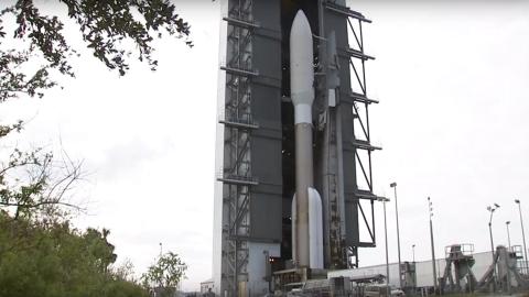
Highlights leading up to and during the GOES-R launch, the GOES-R, GOES-S, and GOES-T launch vehicle is an Atlas V 541 expendable launch vehicle (ELV). The term expendable launch vehicle means each vehicle is only..
Feature Story
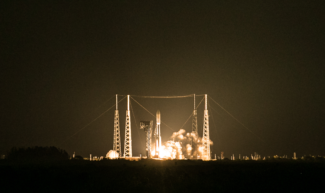
GOES-R, the first of NOAA’s highly advanced geostationary weather satellites, has successfully lifted off from Cape…
Feature Story

Why does NOAA collaborate internationally? In short, because it can’t afford not to.
Feature Story
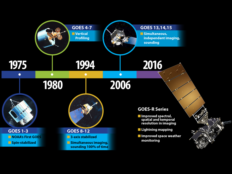
GOES-R is NOAA’s most advanced geostationary weather satellite to date. But how different can it really be?
Feature Story
The GOES-R series satellites will provide continuous weather monitoring. The new generation GOES-R satellites will carry significant improvements and technology innovation on board.
Feature Story
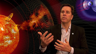
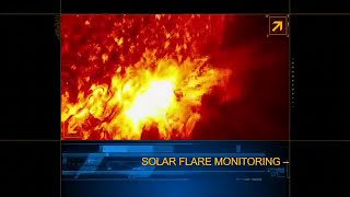
GOES-R will be a game changer for forecasting across the U.S., but did you know Earth’s weather is not the only weather the satellite will monitor?