
Feature Story

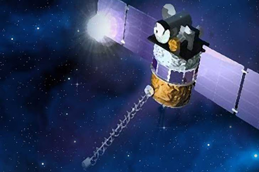
For the last nine years six small micro-satellites known as COSMIC (Constellation Observing System for Meteorology,…
Announcement
On July 28, 2016, NOAA released a Request for Quotation (RFQ) in support of the NESDIS Commercial Weather Data Pilot. This RFQ was previously released in draft form for comment, and seeks on-orbit radio occultation data from commercial sources for…
Feature Story
Real-time data from DSCOVR and space weather forecasts are now available through the Space Weather Prediction Center. An archive of DSCOVR data is als
Feature Story
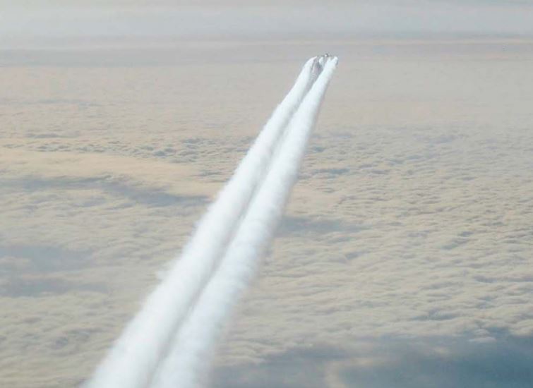
Contrails, or "condensation trails"—the line-shaped clouds often seen behind aircraft—can increase the amount of clouds in the atmosphere.
Feature Story
A year after returning it's first image, NASA's EPIC camera, aboard NOAA's DSCOVR satellite, shows us an entire year from one million miles away.
Feature Story
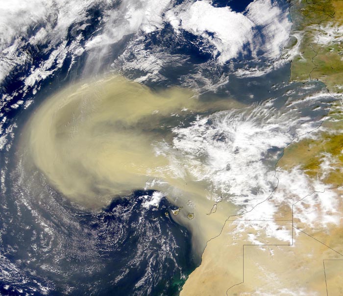
Even though satellites can detect dust in the atmosphere, that does not mean it's easy for scientists to detect it in satellite imagery.
Feature Story

With an operational life spanning five different decades and six different U.S. presidents, GOES-3 has seen it all. From…
Satellite Snapshots

Suomi NPP's VIIRS instrument captured this true color image of a colorful blue-green phytoplankton bloom in the Barents Sea on July 7,…