
Announcement
On July 7, NOAA/NESDIS hosted an industry day to discuss the Request for Quotation (RFQ) in support of the FY 2016 Commercial Weather Data Pilot. NESDIS officials fielded questions and comments on the draft solicitation prior to its finalization and…
Satellite Snapshots
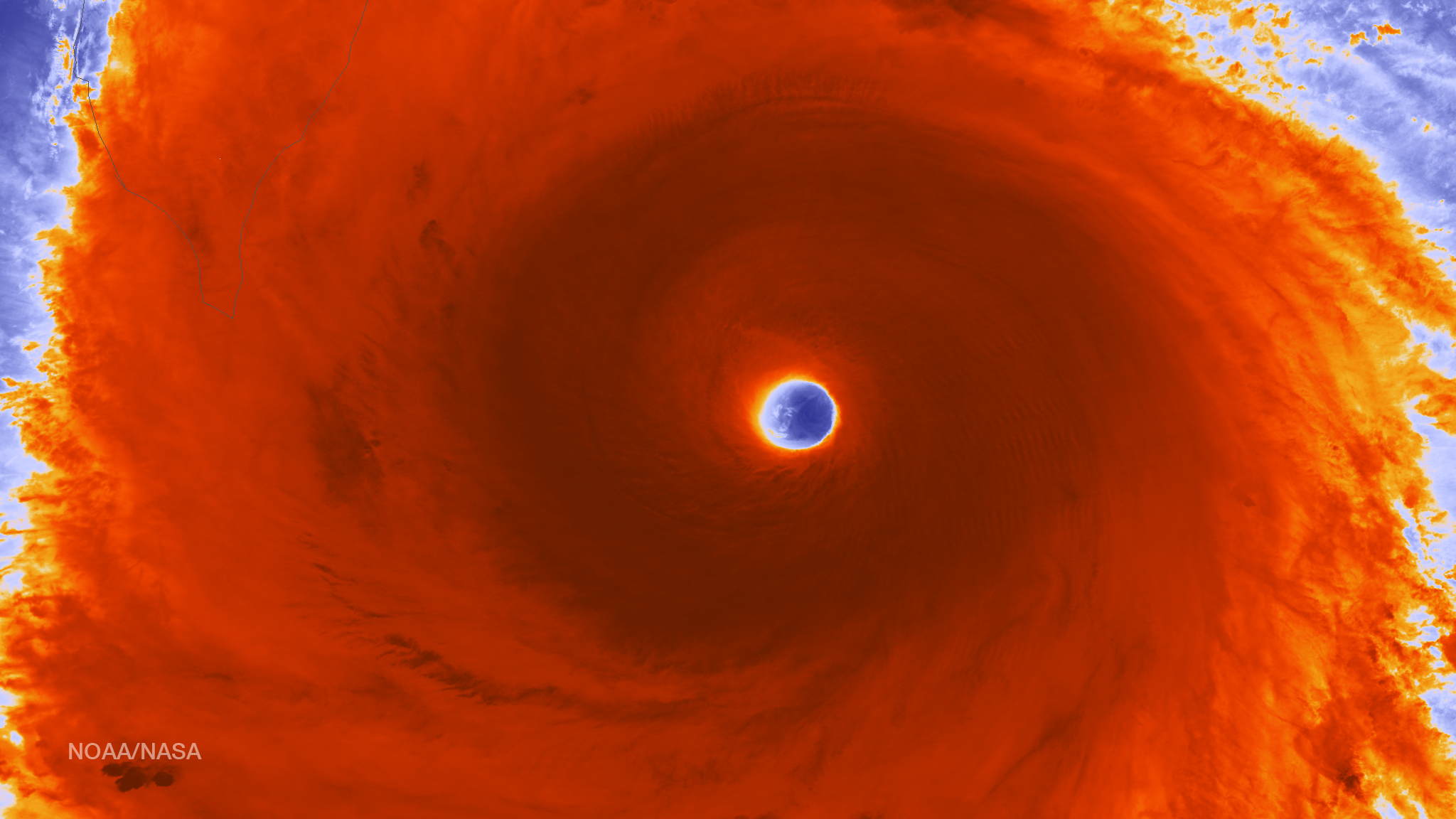
The VIIRS instrument aboard the NOAA/NASA Suomi NPP satellite captured this color-enhanced infrared image of Super Typhoon Nepartak…
Satellite Snapshots
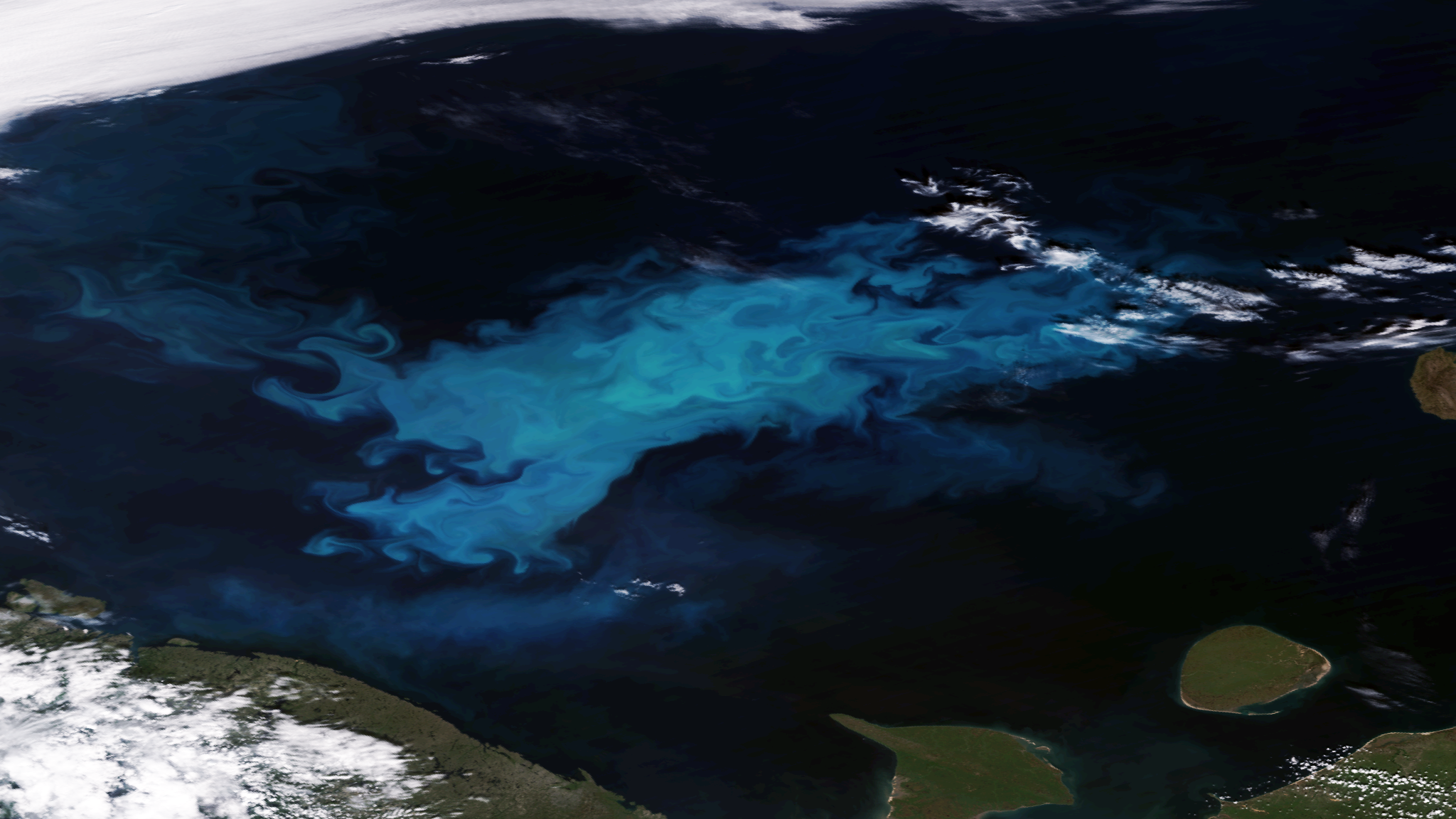
Located off the northern coasts of Norway and Russia, the Barents Sea is rather shallow, with an average depth of 230 meters (750 feet)…
Announcement
On June 21, 2016, NESDIS released a draft Request for Quotation (RFQ) to support NOAA’s Commercial Weather Data Pilot. The draft RFQ is open for public comment through July 15, with initial comments/questions due July 1.
Satellite Snapshots
The National Centers for Environmental Information (NCEI), as the official repository of NEXRAD archived data, provides an important service to…
Feature Story
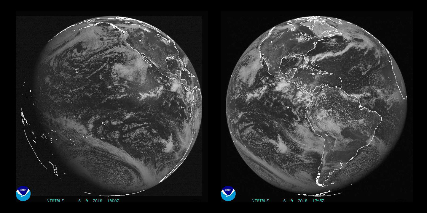
Imagery and data from NOAA's GOES-R satellite is a game-changer for U.S. and Western Hemisphere, and global partners' access to information is key.
Feature Story
Suomi NPP data is used to create a new global atlas of light pollution and shows that 80 percent of Americans can't see the Milky Way galaxy.
Satellite Snapshots
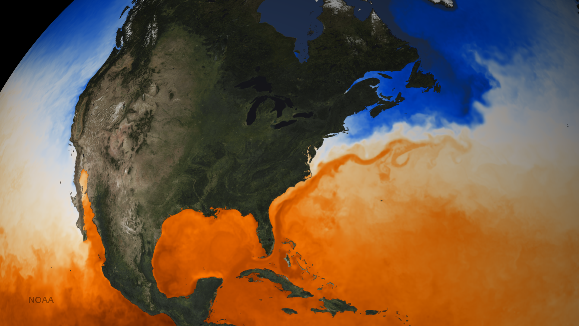
The Gulf Stream is a powerful current of warm water running through the Atlantic Ocean. Starting in the Gulf of Mexico, the current…