
Feature Story
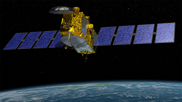
This week, NOAA assumed official operational control of the Jason-3 satellite, the latest in a series of spacecraft that measure the surface height of
Feature Story
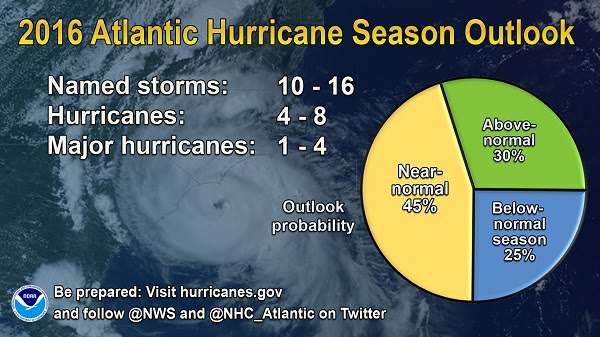
NOAA’s Climate Prediction Center says the 2016 Atlantic hurricane season has a chance for 10-16 named storms, of which 4-8 could become hurricanes.
Announcement
Today, NOAA/NESDIS released a Request for Information (RFI) to support NOAA’s Commercial Weather Data Pilot. The RFI is the first step to bring radio occultation data from commercial companies to NOAA. The RFI seeks pre-launch data in order to…
Feature Story

The first man-made satellite didn't come along until 1957. Today, thousands of artificial satellites orbit Earth, with many…
Feature Story
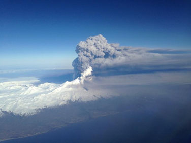
Data from polar-orbiting satellites provide forecasters with critical information on hazards like ash from volcanic eruptions.
Satellite Snapshots
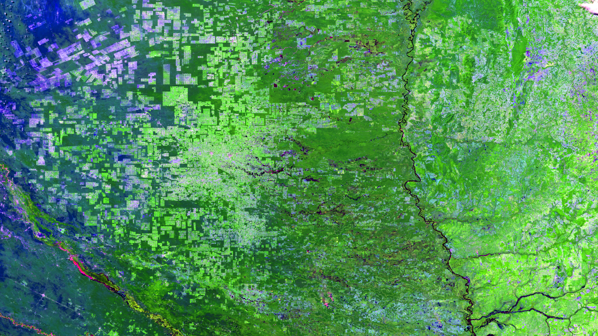
Brazil is known for lush expanses of rainforests and other vegetated areas, however, closer inspection reveals the signature of man -…
Feature Story
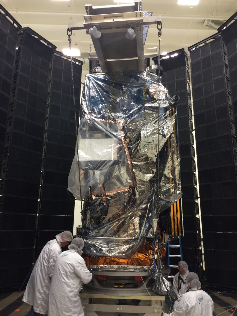
NOAA’s JPSS-1 satellite, the second in the JPSS series of satellites, slated to launch in 2017, is currently going through environmental testing. Envi
Feature Story

In preparation for launch, NOAA's JPSS-1 satellite is undergoing an array of tests to prepare for launch.