
Feature Story
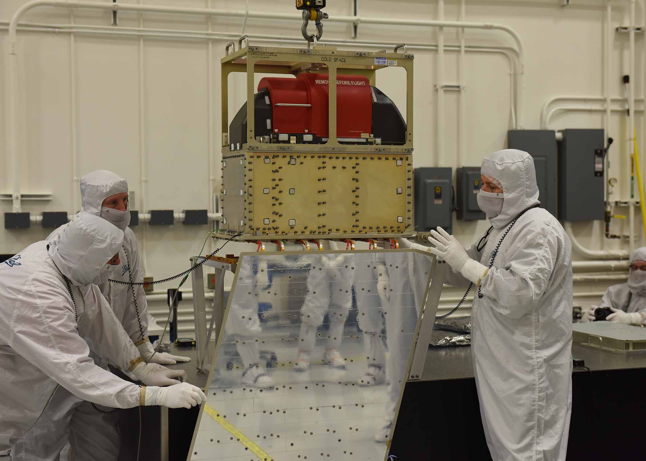
The JPSS-1 satellite moves one step closer to launch in early 2017. Ball Aerospace technicians lower the ATMS instrument…
Feature Story
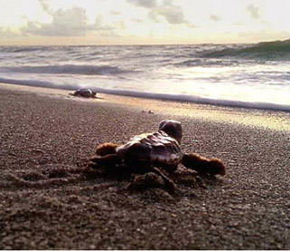
A study from the University of Central Florida (UCF) involving data from NOAA satellites finds that the lighting ordinances…
Feature Story

he Jason-3 satellite is in good shape since its launch on 17 January. Pointing is nominal and its thrusters have been activated and calibrated.
Satellite Snapshots
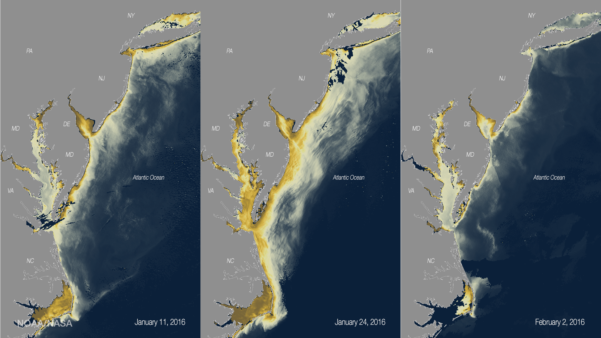
As rainwater washes off the land into coastal waters, it often transports sediments and can stir up bottom sediments on the coast…
Feature Story

Understanding Our Dynamic Planet as a Trusted Source of Environmental Data
Feature Story
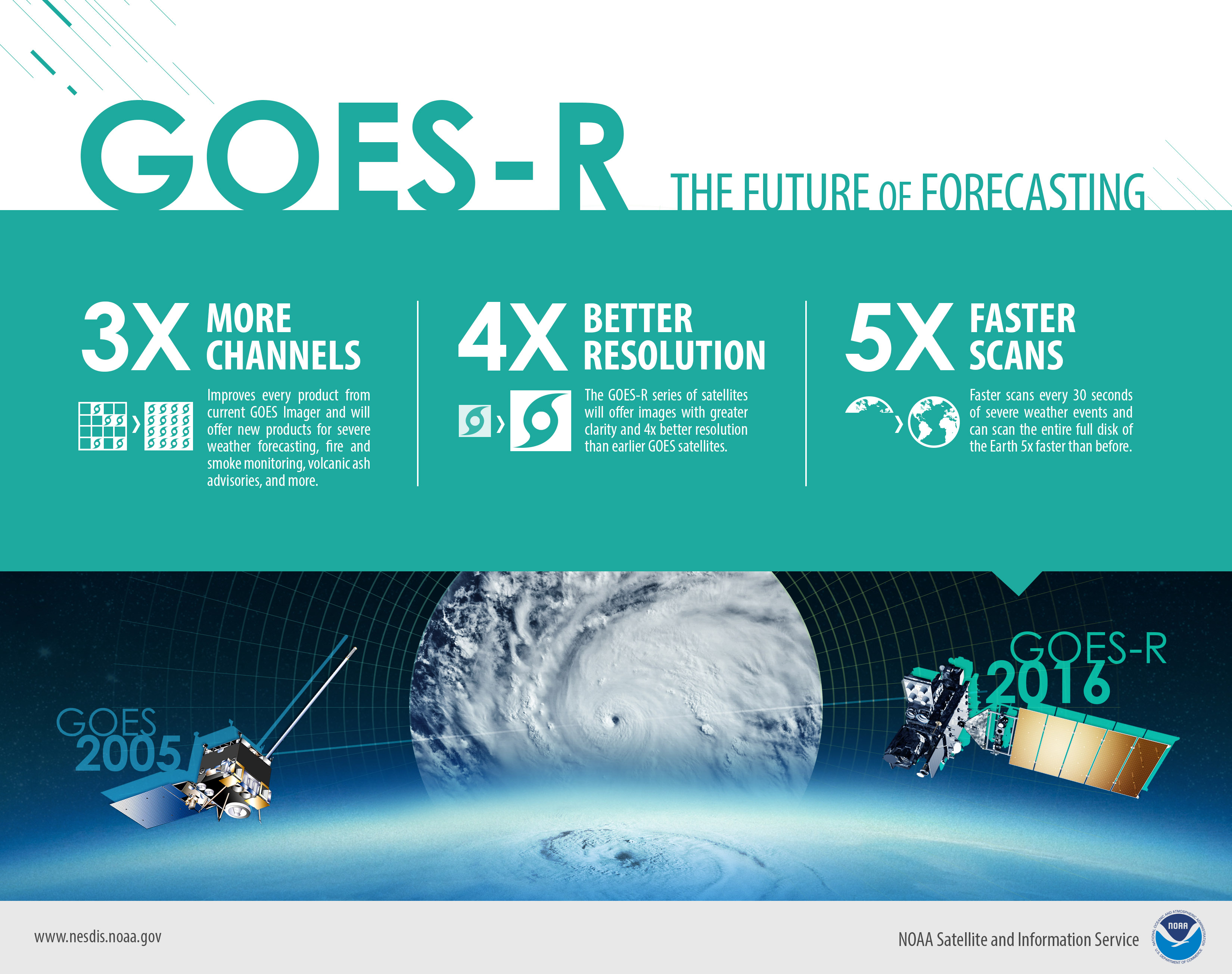
Improves every product from current GOES Imager and will offer new products for severe weather forecasting, fire and smoke monitoring, volcanic ash advisories, and more.
Feature Story
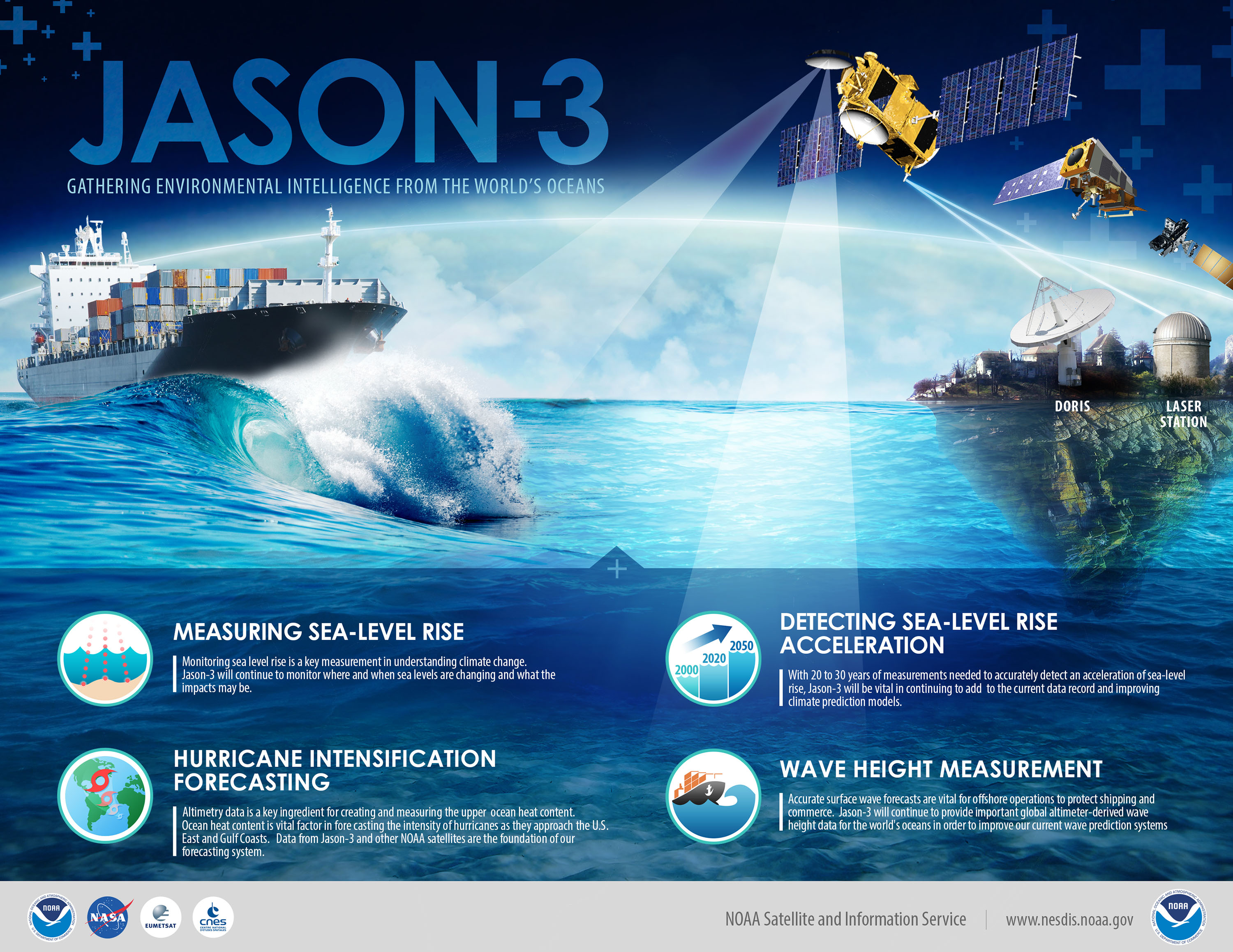
Jason-3: Gathering Environmental Intelligence from the World's Oceans
Feature Story
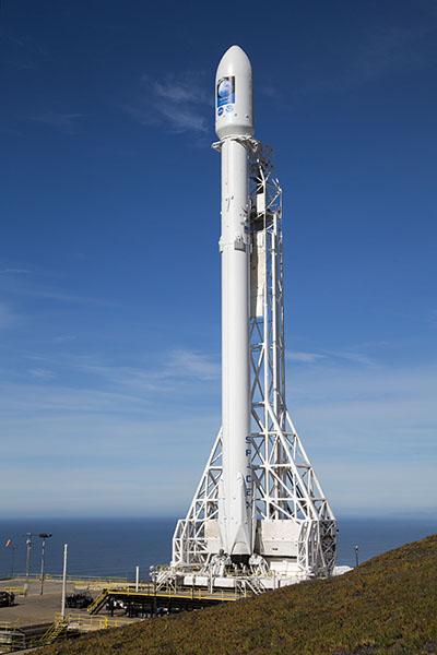
Jason-3, a U.S.-European satellite mission, lifted off from Vandenberg Air Force Base in California today at 10:42 a.m. PST aboard a SpaceX Falcon 9.