
Feature Story
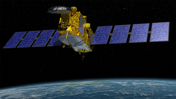
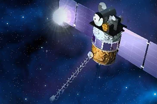
Jason-3, a mission led by the National Oceanic and Atmospheric Administration that is currently scheduled to launch on July 22 [Ed. note: Launch date
Feature Story
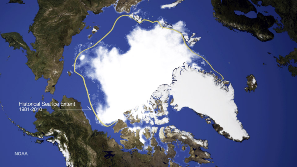
What happens in the Arctic doesn’t stay in the Arctic, especially when it comes to atmospheric changes that first occur in…
Satellite Snapshots

The swirling of sea surface waters is shown in this thermal infrared image from the Suomi NPP spacecraft on April 12, 2015 in an area…
Feature Story
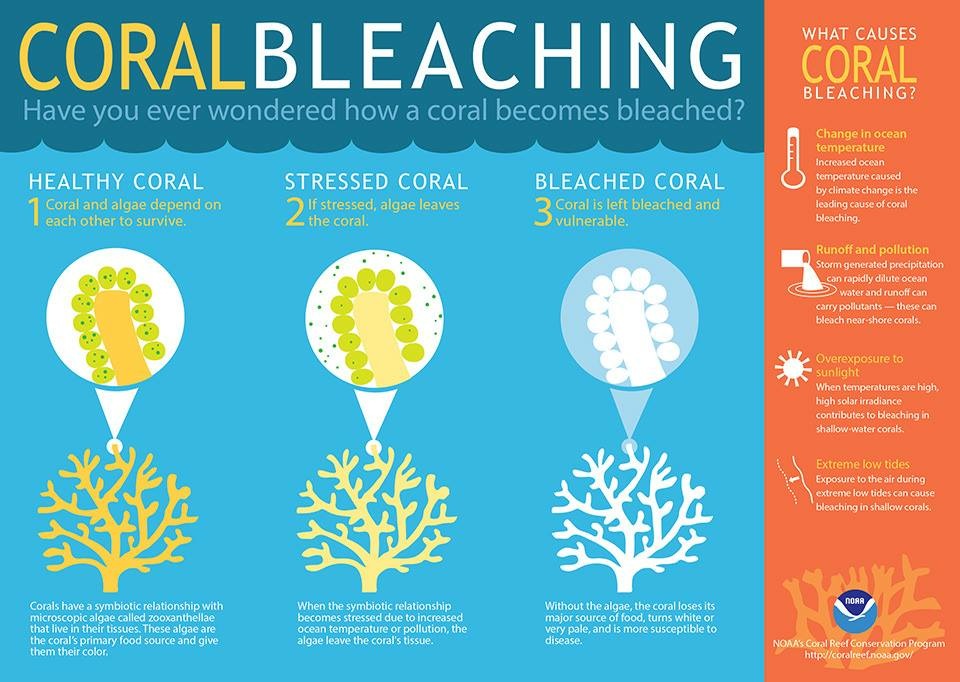
HOW NOAA’S POLAR-ORBITING SATELLITE DATA ARE USED TO HELP REEF CONSERVATION AROUND THE WORLD
The NOAA/NASA Suomi NPP satellite’s Visible Infrared Imag
The NOAA/NASA Suomi NPP satellite’s Visible Infrared Imag
Feature Story
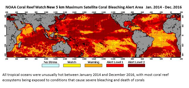
Satellite remote sensing played key role in predicting and tracking event High ocean temperatures.
Feature Story
In just 12 days after it launched, NOAA's DSCOVR satellite has reached the halfway mark to the L1 position. In 12 days, DSCOVR has traveled approximat
Feature Story
Watch as Dr. Steve Volz does a briefing about the DSCOVR program from the Kennedy Space Center. This video is accessible on NOAA Satellites Youtube channel.
Feature Story
There's a fascinating spot some 932,000 miles away from Earth where the gravity between the sun and Earth is perfectly balanced. This spot captures th