
Feature Story

Workers conduct a light test on the solar arrays on NOAA's Deep Space Climate Observatory spacecraft, or DSCOVR, in the Building 1 high bay at the Ast
Feature Story

Preparations to launch NOAA's Deep Space Climate Observatory spacecraft, or DSCOVR, near completion in the Building 1 high bay of the Astrotech payloa
Feature Story

What exactly goes into building a new weather satellite? This new animated video explains how GOES-R was developed and how new science and technology…
Feature Story
All six instruments that will fly on GOES-R have now been completed.
Satellite Snapshots

This image from the Suomi NPP satellite's Day/Night Band shows the eastern part of the U.S. clearly for the most part, highlighting…
Feature Story

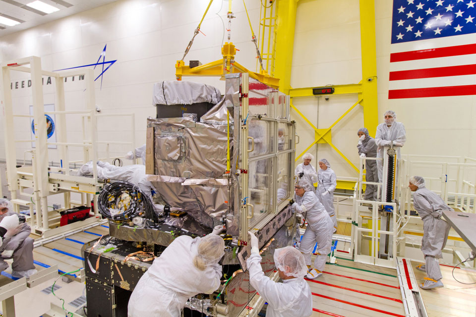
NOAA's Deep Space Climate Observatory spacecraft, or DSCOVR is being unwrapped for the New Year and prepared for launch. In this photo, DSCOVR, wrapped in plastic, comes into view as the protective shipping container is lifted from around the…
Feature Story
DSCOVR Mission's EPIC - Earth Polychromatic Imaging Camera
Feature Story

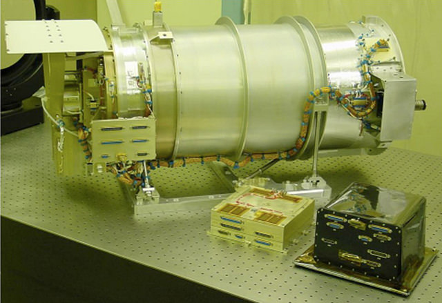
NISTAR is a cavity radiometer designed to measure the reflected and emitted energy in four broadband channels from the entire sunlit face of Earth to