
Satellite Snapshots

On Sept. 4, 2024, the VIIRS instrument on board NOAA’s JPSS Program satellites captured this True Color imagery of Typhoon Yagi in the South China Sea.
Announcement

The Space Environment In-Situ Suite (SEISS) instrument onboard NOAA's GOES-19 satellite is now sending radiation data back to Earth.
Announcement
NOAA will host an online Commercial Data Program (CDP) Community Day on Thursday, September 26, 2024, at 1:00-2:30 p.m. EST.
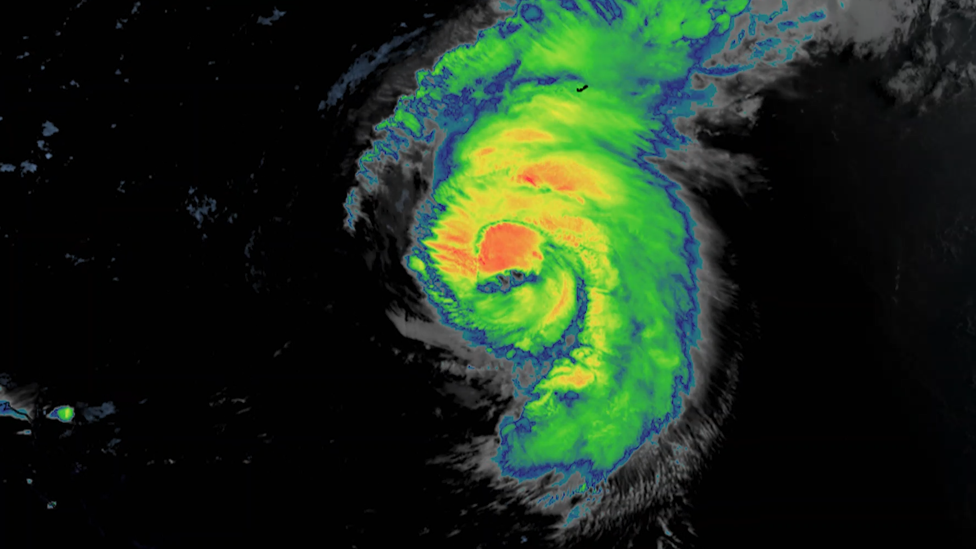
Satellite Snapshots

Seven years ago, on August 25, 2017, Hurricane Harvey made landfall in Texas—marking the beginning of one of the most devastating natural disasters in U.S. history.
Earth from Orbit
Even with the storm hundreds of miles offshore, Hurricane Ernesto was still being felt Saturday along much of the U.S. Eastern Seaboard, with dangerous rip currents forcing public beaches to close during one of the final busy weekends of the summer…
Earth from Orbit

Last week, NOAA satellites tracked Debby, a storm that impacted Florida’s Big Bend region near Steinhatchee before moving up the East Coast, causing widespread flooding and damaging winds as far north as New York state with numerous destructive…
Announcement

The Goddard Magnetometer (GMAG) instrument, launched onboard NOAA’s GOES-19 satellite on June 25, 2024, is now transmitting magnetic field measurements down to Earth.
Satellite Snapshots
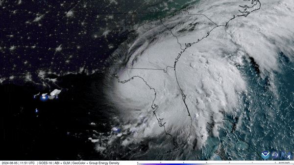
NOAA’s GOES East (GOES-16) satellite has been carefully monitoring Hurricane Debby as it travels across the U.S. state of Florida.