
Satellite Snapshots
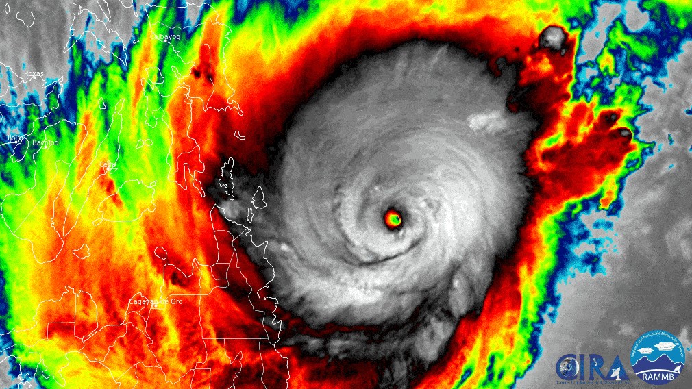
The Himawari-8 satellite, operated by our partners at the Japan Meteorological Agency, has been closely monitoring Typhoon Rai, known in the Philippin
Satellite Snapshots
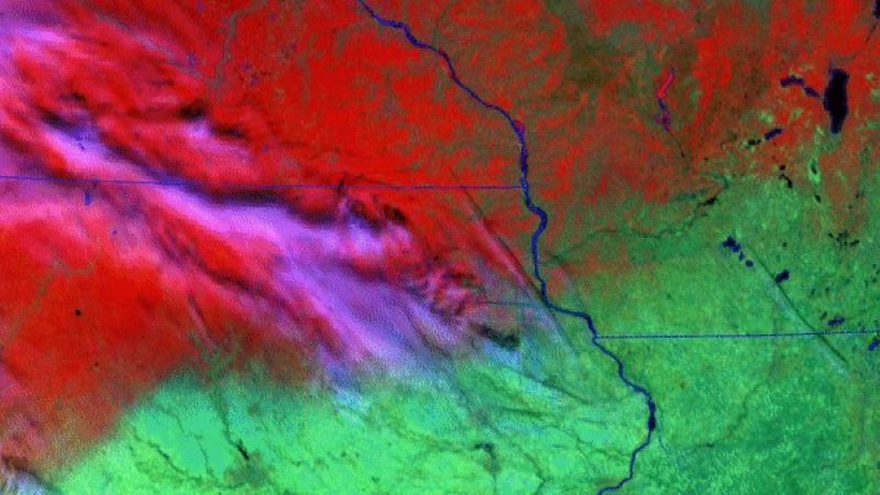
On Dec. 12, NOAA’s GOES East satellite had its eye on snow laying across northern Iowa, Minnesota, and Wisconsin.
Earth from Orbit

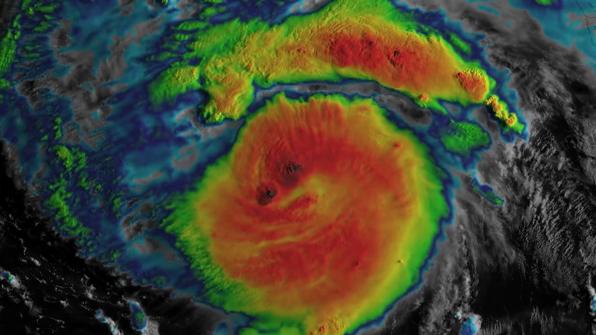
This week, NOAA satellites monitored a large “kona low” storm system that on Saturday began drenching Hawaii with heavy rains, leading to significant
Earth from Orbit
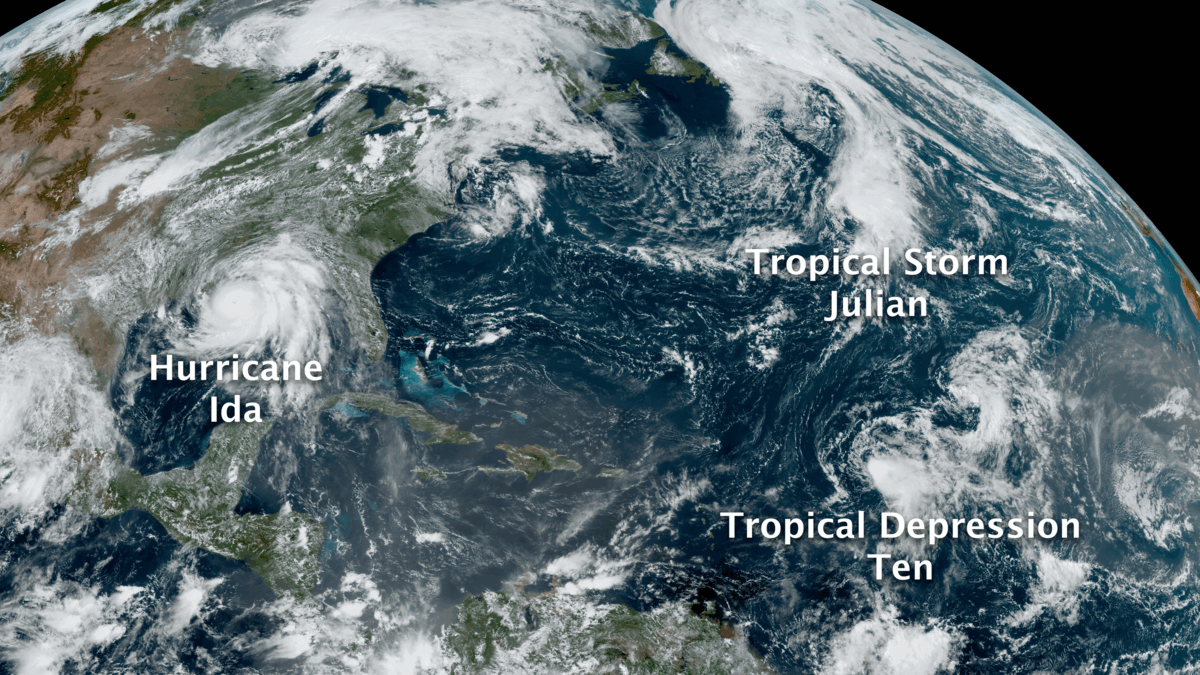
The 2021 Atlantic Hurricane Season officially came to a close on Nov. 30, and was the third-busiest Atlantic season on record.
Announcement
On December 1, 2021, NOAA released a Request for Information (RFI) on the draft Statement of Work (SOW) for NOAA’s Commercial Data Program (CDP) Radio Occultation Data Buy: 2023-2028.
Feature Story
The active 2021 Atlantic hurricane season officially concludes on November 30.
Satellite Snapshots
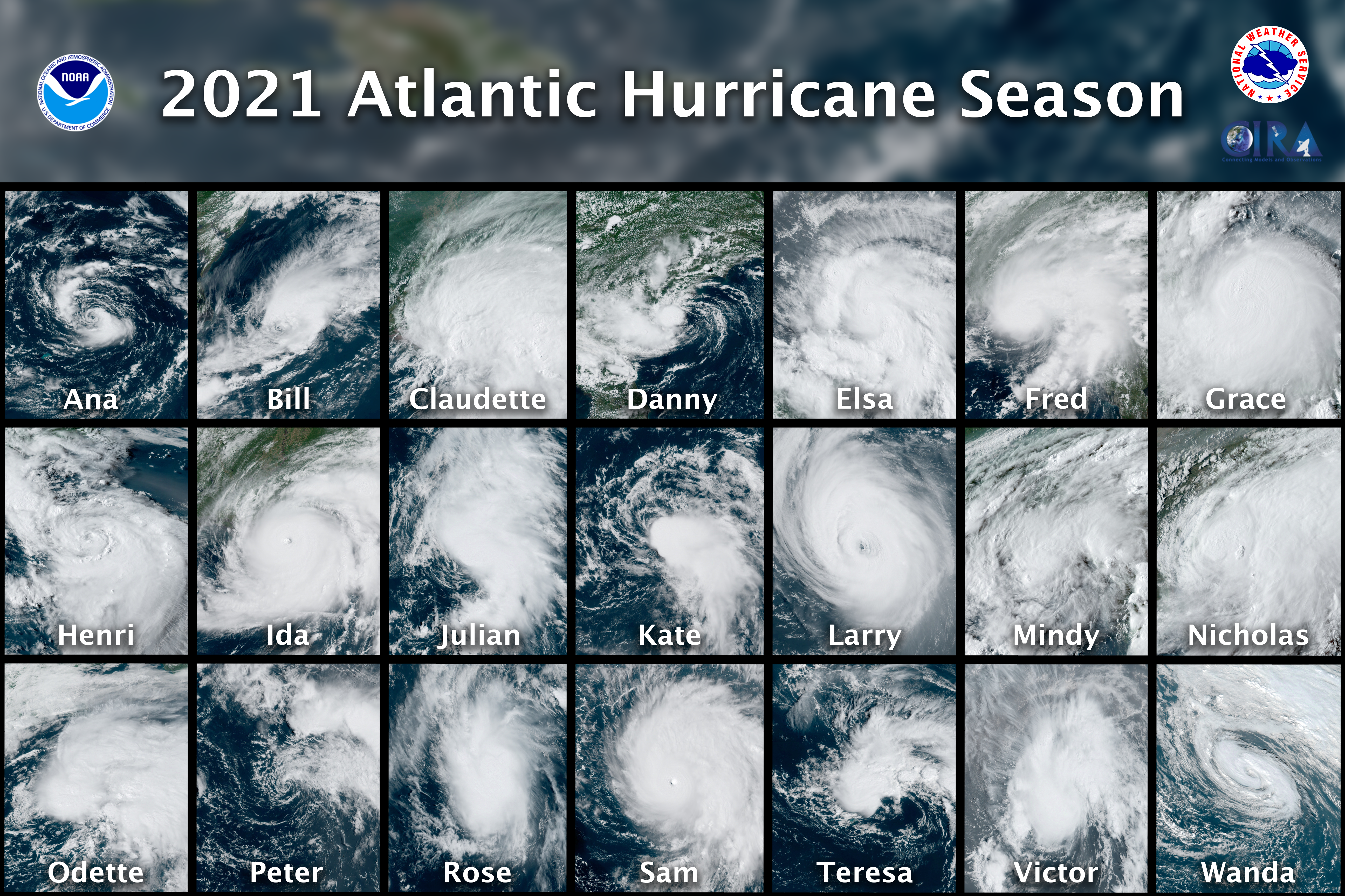
The Atlantic Basin had another busy hurricane season this year, which officially wrapped up on November 30.
Earth from Orbit

NOAA’s GOES-T, the third in the GOES-R Series of advanced weather observing and environmental monitoring satellites, arrived in Florida on Nov. 10.