
Announcement
NOAA and NASA are now targeting March 1, 2022, as the new launch date for NOAA’s Geostationary Operational Environmental Satellite T (GOES-T) mission.
Announcement

After 15 years of service, the Meteorological Operational Satellite A (MetOp-A) polar-orbiting spacecraft will be retired in November 2021.
Feature Story

NOAA’s GOES-T satellite arrived in Florida today to begin final preparations for an early 2022 launch.
Announcement

NOAA has released an RFI soliciting information on existing or planned commercial space-based space weather data and related capabilities.
Announcement
On November 10, 2021, NOAA released a Request for Information (RFI) soliciting information on existing or planned commercial space-based space weather data and related capabilities that will be available in the timeframe of 2022 through 2027.
Announcement
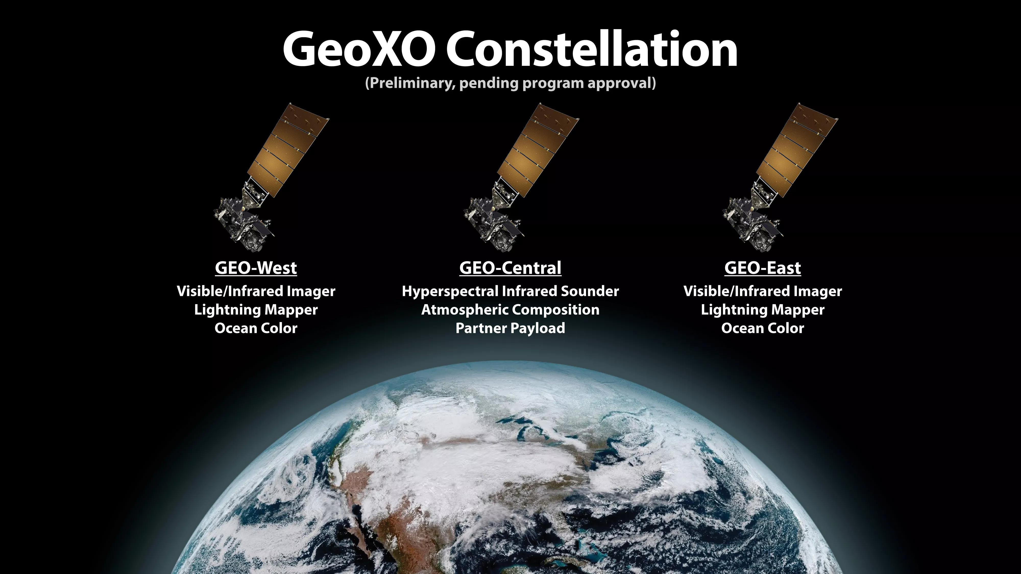
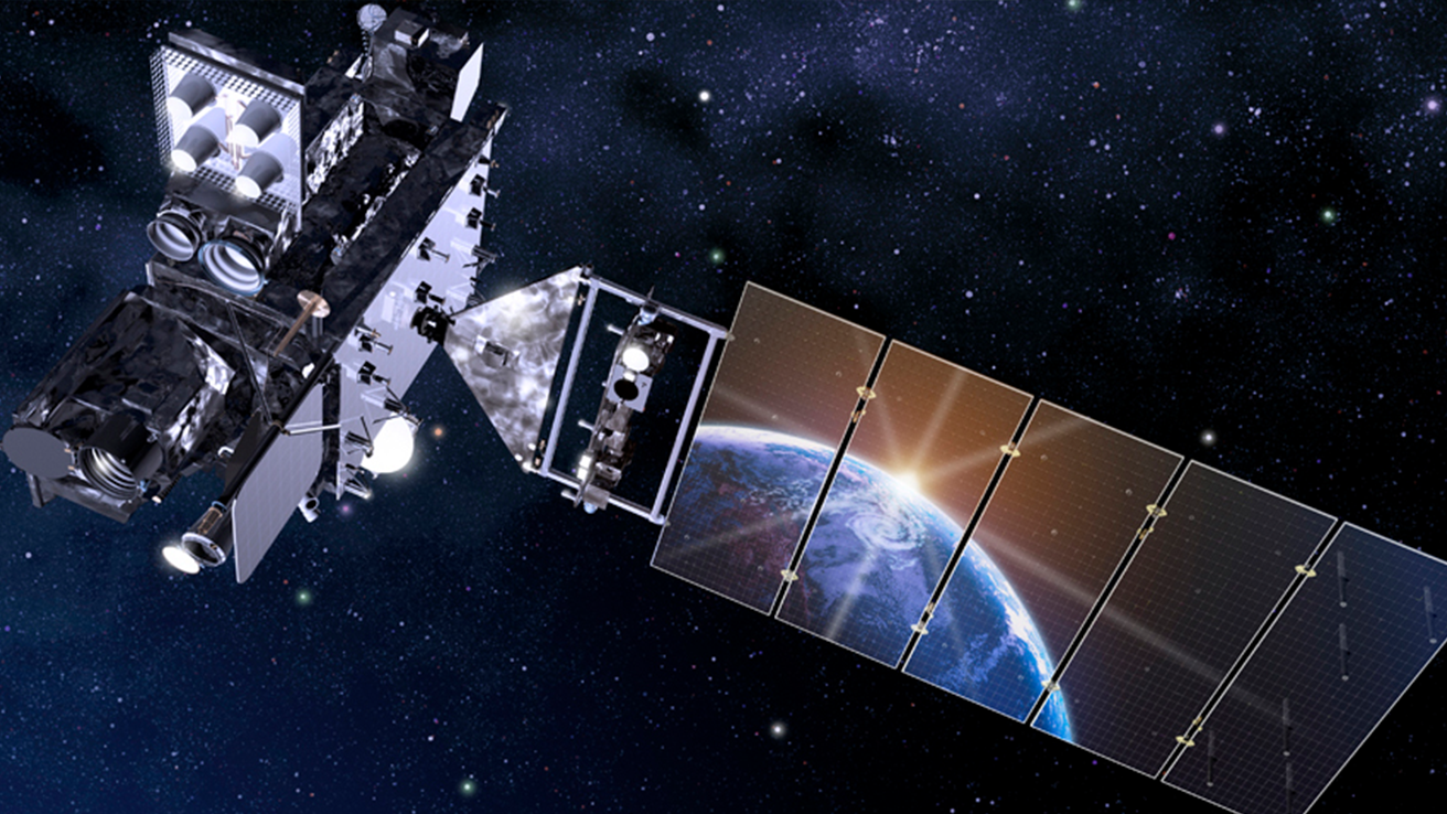
NOAA’s next-generation geostationary satellite program, Geostationary Extended Observations (GeoXO), was formally initiated on November 9, 2021.
Earth from Orbit

On Oct. 28, 2021, NOAA’s GOES East satellite observed a strong solar flare with its Solar Ultraviolet Imager (SUVI) at 11:35 am ET. The flare produced
Feature Story
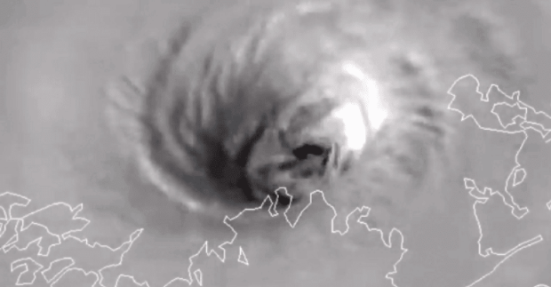
Within Hurricane Ida's eye, GOES-16 detected multiple mesovortices, which persisted over land due to the Brown Ocean Effect.