
Feature Story
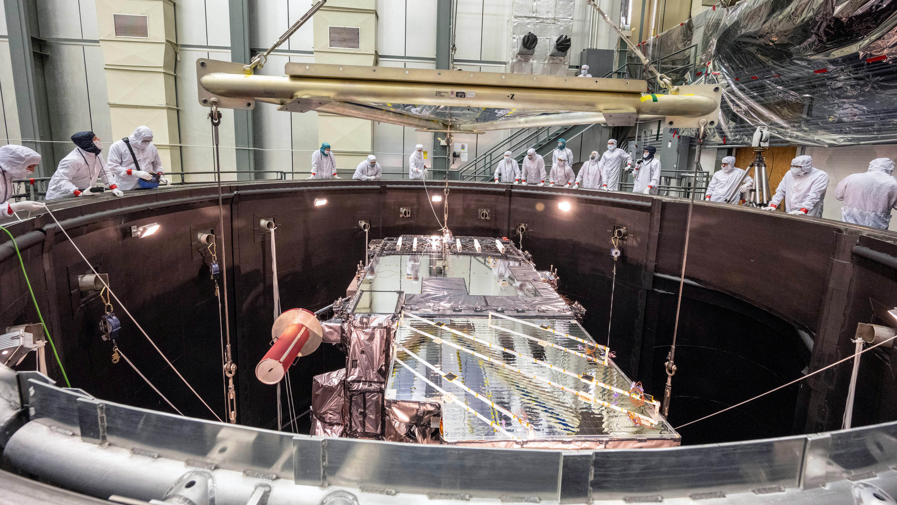
It has taken years to build the GOES-T satellite. This article explores the steps that are now needed to get it to space.
Feature Story

Leading a team in aerosols and atmospheric composition product development since 2004, Dr. Shobha Kondragunta has produced valuable and influential wo
Earth from Orbit

NOAA satellites keep vigilant watch over the Earth 24/7, and occasionally view some haunting images, shown above.
Feature Story

Since its launch on Oct. 28, 2011, the remarkable instruments on the Suomi NPP satellite have captured a wealth of valuable data and beautiful images
Earth from Orbit

Did you know that rivers don’t just run over land, but also through the sky?
Feature Story
Storymap about the importance of the nation's many weather satellites that followed and the game-changing moments in their 60-year history.
Announcement

Meteorologist David A. Peterson, Ph.D. will receive the agency’s prestigious David S. Johnson Award.
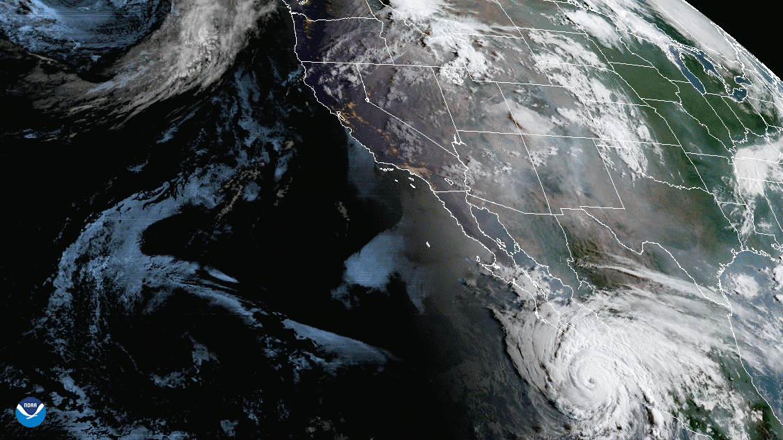
Satellite Snapshots

Imagery from the GOES West (GOES-17) satellite shows a large smoke plume from the Alisal Fire in California, exacerbated by strong winds.