
Earth from Orbit
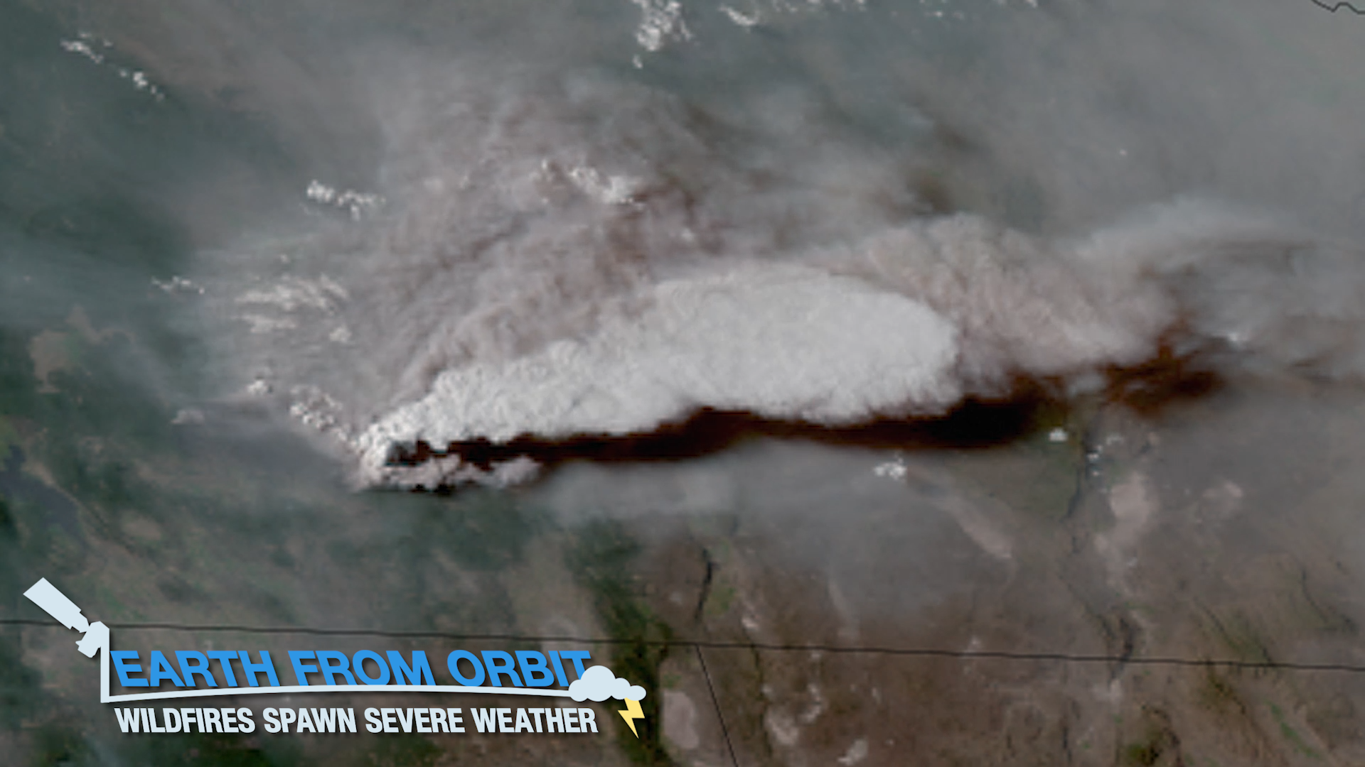
Wildfires continue to rage in the western U.S. Some of the most intense fires have generated their own weather, with thunderstorms, lightning, and eve
Feature Story
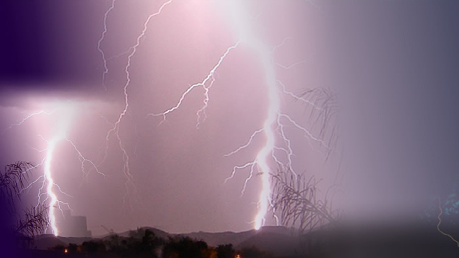
Lightning is a major hazard. It’s a significant threat to life and property, can ignite wildfires, and impacts travel.
Satellite Snapshots
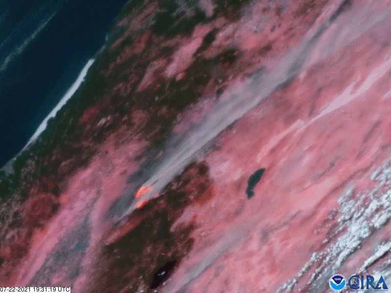
NOAA satellites are continuing to monitor the blazing wildfires across the western U.S. and Canada.
Earth from Orbit

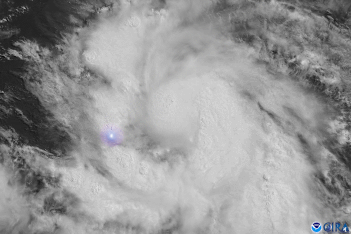
Sometimes when looking at satellite imagery, you can see areas of light that gleam or sparkle with an unusual brightness.
Announcement

A team of experts aggressively continues to restore operations to NOAA’s GOES-17 satellite, after an 0n-board computer malfunction.
Earth from Orbit

Wildfire activity amid extreme heat and drought has resulted in smoke blanketing much of the United States and Canada.
Satellite Snapshots
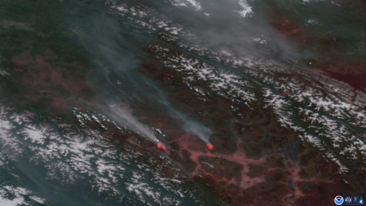
North American summer wildfire season has been exploding across the West
Satellite Snapshots
Tropical Storm Elsa, which formed on July 1, became the earliest-forming fifth named storm on record over the Atlantic Ocean.