
Satellite Snapshots
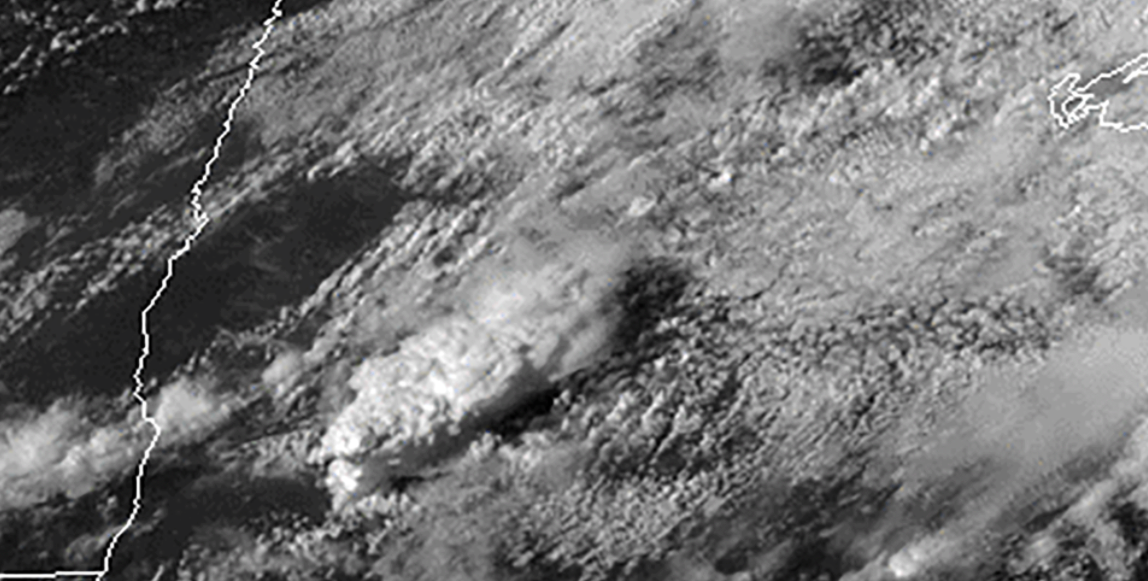
At least two tornadoes touched down across parts of west-central and north-central Minnesota on Wednesday, July 8, 2020.
Satellite Snapshots
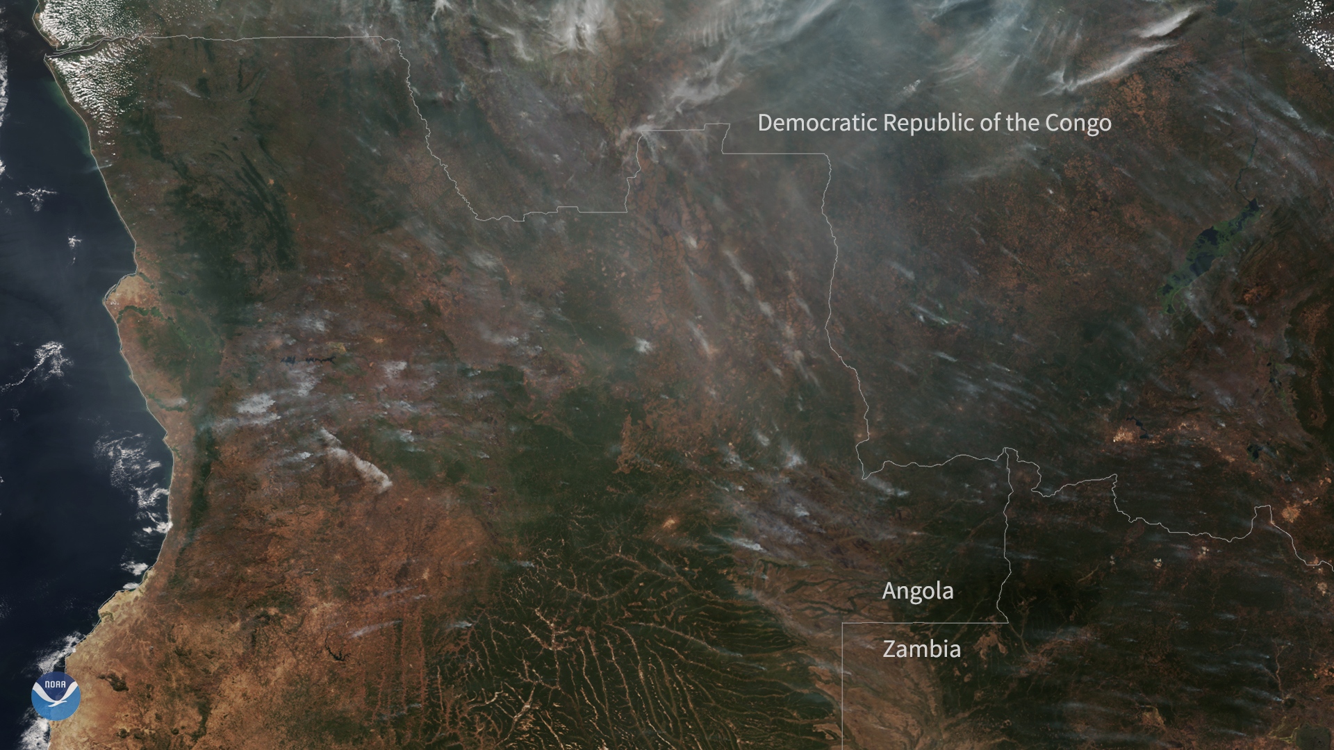
On July 5, 2020, the NOAA-20 satellite captured this True Color imagery of hazy smoke from fires burning across a large portion of central Africa.
Satellite Snapshots

From June 30–July 1, 2020, the GOES-West satellite captured a cluster of actinoform clouds drifting toward the Hawaiian islands.
Feature Story

On behalf of NOAA, NASA has awarded the Space Weather Follow On-Lagrange 1 (SWFO-L1) Solar Wind Plasma Sensor (SWiPS) contract…
Satellite Snapshots
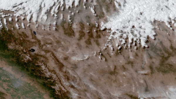
On June 28–29, 2020, NOAA’s GOES-West satellite watched a particularly intense dust cloud race across Nevada’s Mojave desert.
Feature Story
In the world of fisheries observations, satellites have completely changed the game. With their eyes in the sky, these super…
Announcement
On June 26, 2020, NOAA released the summary of the results of Commercial Weather Data Pilot (CWDP) Round 2.
Feature Story

One year ago today, a SpaceX Falcon Heavy rocket carried the constellation of six COSMIC-2 satellites into orbit. Learn how NOAA is archiving the data