
Feature Story

COSMIC/FORMOSAT-3, a partnership satellite mission, credited with improving NOAA's weather prediction, climate monitoring and now decommissioned.
Announcement

NASA has awarded NOAA's Space Weather Follow On—Supra Thermal Ion Sensor contract to the Regents of the University of California, Berkeley.
Satellite Snapshots
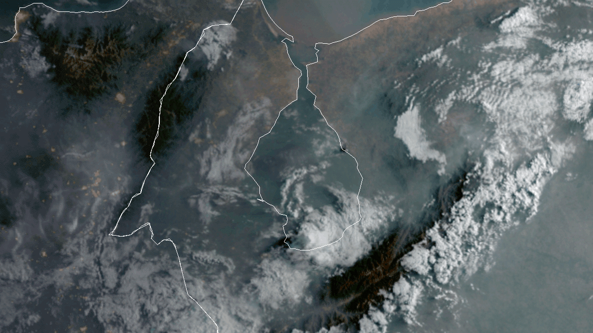
On the morning of Saturday, April 25, 2020, the GOES-East satellite spied dark, dense smoke billowing from the city of Bachaquero,…
Satellite Snapshots
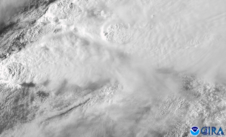
April 29, 2020 On the night of April 28, 2020, the GOES-East satellite, via Band 2 of the Advanced Baseline Imager (ABI), caught a billowing squall…
Satellite Snapshots
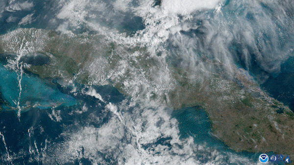
On April 26, 2020, the GOES-East satellite captured explosive yet beautiful thunderstorms unfolding across Cuba.
Satellite Snapshots
April 27, 2020 Ever wonder about that special glow from the sky on a cloudy day, when the sun shines through stronger than normal? Besides being…
Satellite Snapshots
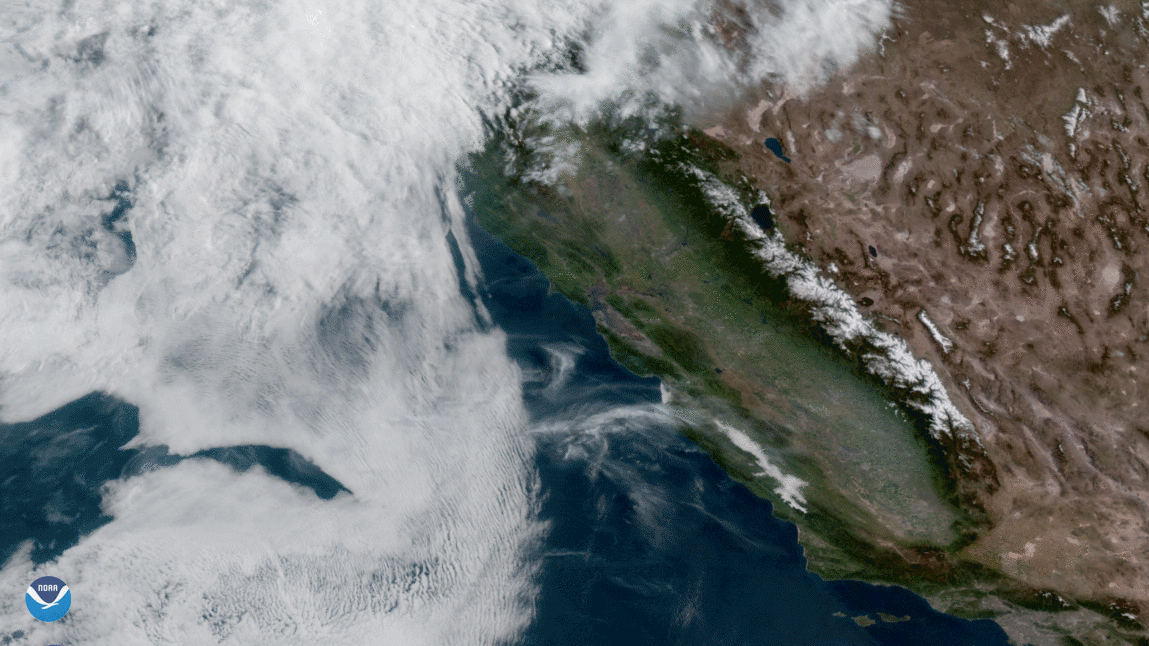
April 24, 2020 Seen through the VIIRS sensor of NOAA-20 on April 17, 2020, one of the least inhabited places in the world is mostly located within…
Satellite Snapshots
A spring storm system that produced severe thunderstorms across Oklahoma, Texas, and Louisiana on April 22, 2020.