
Satellite Snapshots

April 22, 2020 This special day, first celebrated in 1970, has undergone many changes from its humble beginning. As we look at the GOES-East capture…
Feature Story
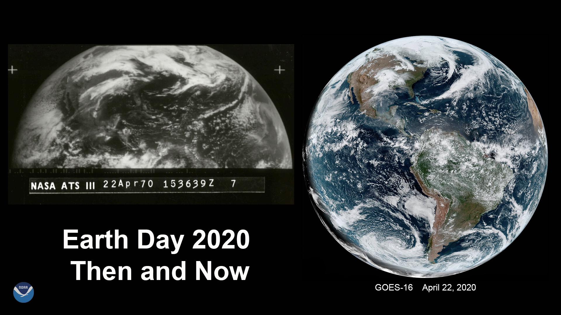
Taking a step back and viewing the Earth from above not only can spark awe, it also can inspire change. Case in point—in…
Announcement
On April 21, 2020, NOAA released a draft Statement of Work (SOW) for public comment to support NOAA’s first acquisition of commercial space-based radio occultation data for operational use in NOAA’s products and services.
Satellite Snapshots
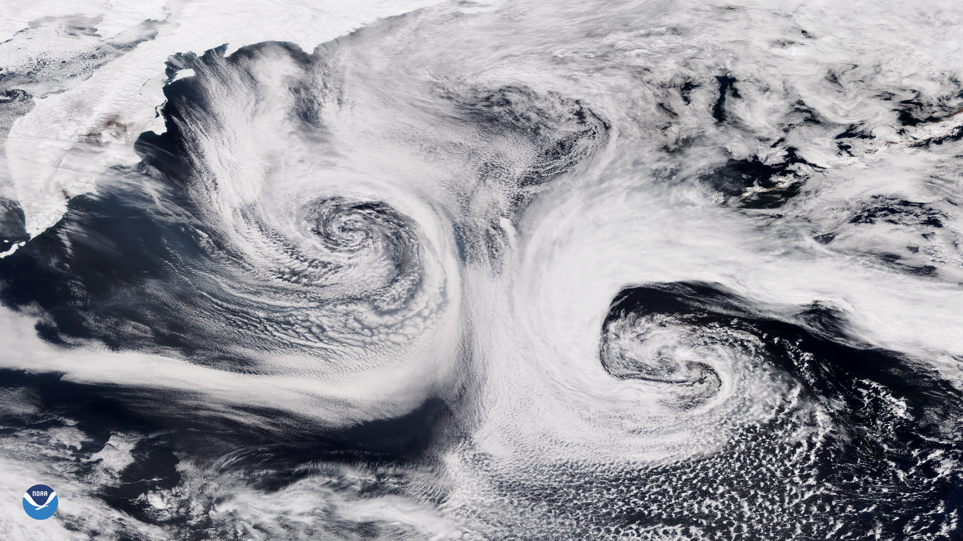
NOAA-20 satellite captured this stunning imagery of two mid-latitude cyclones swirling over the Pacific Ocean.
Feature Story
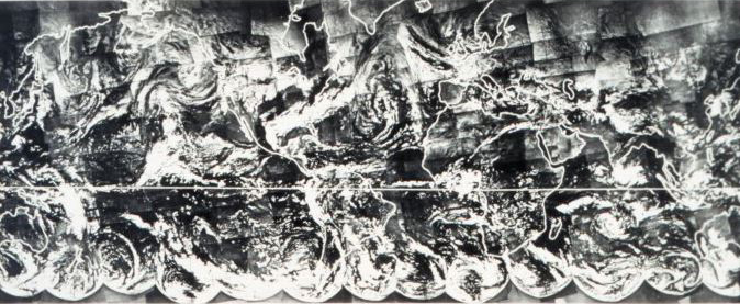
Earth Day celebrates its golden anniversary in 2020, NOAA too is celebrating 50 years of monitoring the Earth’s weather,…
Satellite Snapshots
April 20, 2020 Today, the GOES-East satellite viewed the Gulf Coast (inset) which suffered a devastating oil spill from the Deepwater Horizon oil rig…
Satellite Snapshots
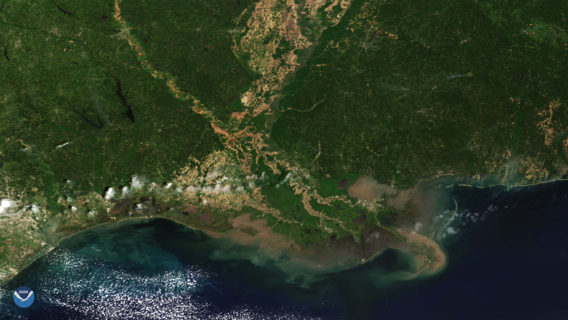
From its vantage point 512 miles up, the NOAA-20 satellite had a clear view of the Mississippi River Delta.
Satellite Snapshots
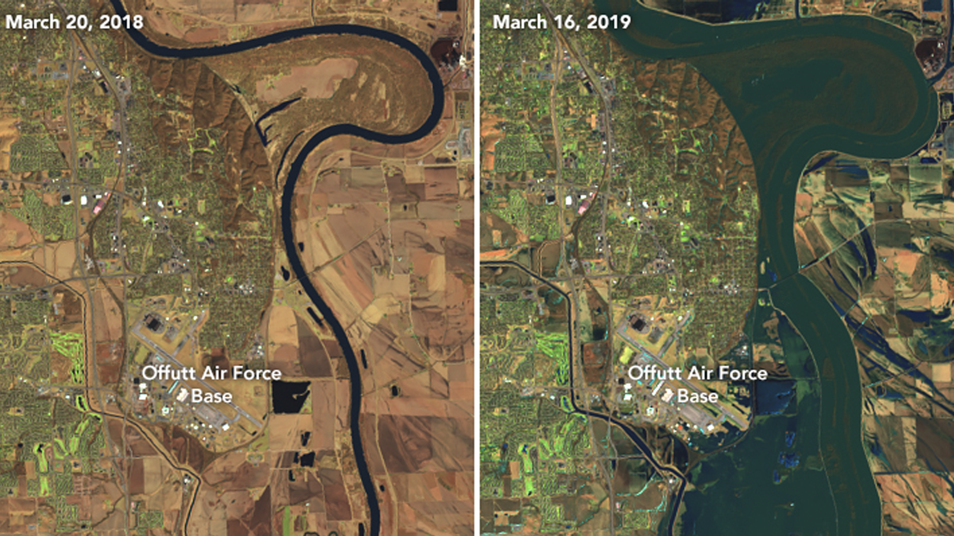
Heavy precipitation and flooding of 2019 was one for the history books.