
Feature Story

NOAA satellites have witnessed some pretty extreme events, from massive wildfires and explosive volcanic eruptions to a 515-mile-long lightning flash.
Announcement
On September 18, 2025, the National Oceanic and Atmospheric Administration (NOAA) signed an Other Transaction Authority (OTA) agreement with Raytheon for the Critical Design Review (CDR) study of a weather imagery prototype mission that will mature…
Earth from Orbit
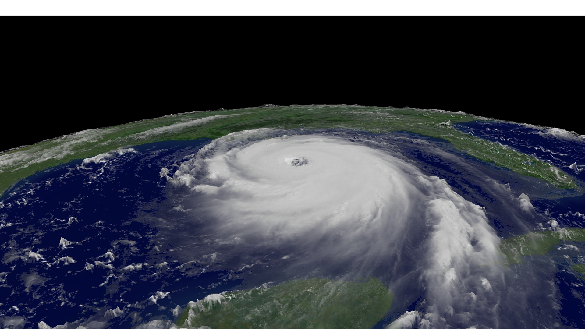
Twenty years ago, Hurricane Katrina devastated New Orleans and the Mississippi coast.
Feature Story

The Polar-orbiting Operational Environmental Satellites, also known as POES, have played an extremely important role in monitoring the planet’s weather and environment since the launch of the first satellite in the series in 1978.
Feature Story

LEO satellites provide essential ocean color data that supports sustainable fisheries and protects Alaska’s seafood economy.
Feature Story
Hurricanes, tornadoes, and blizzards are well known for their destructive impact to life and property, but fog is a silent, often underestimated threat.
Feature Story
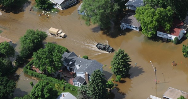
River flooding poses a serious threat to communities across the United States, endangering roughly 41 million Americans and putting an estimated $5.5 trillion in assets at risk.
Earth from Orbit
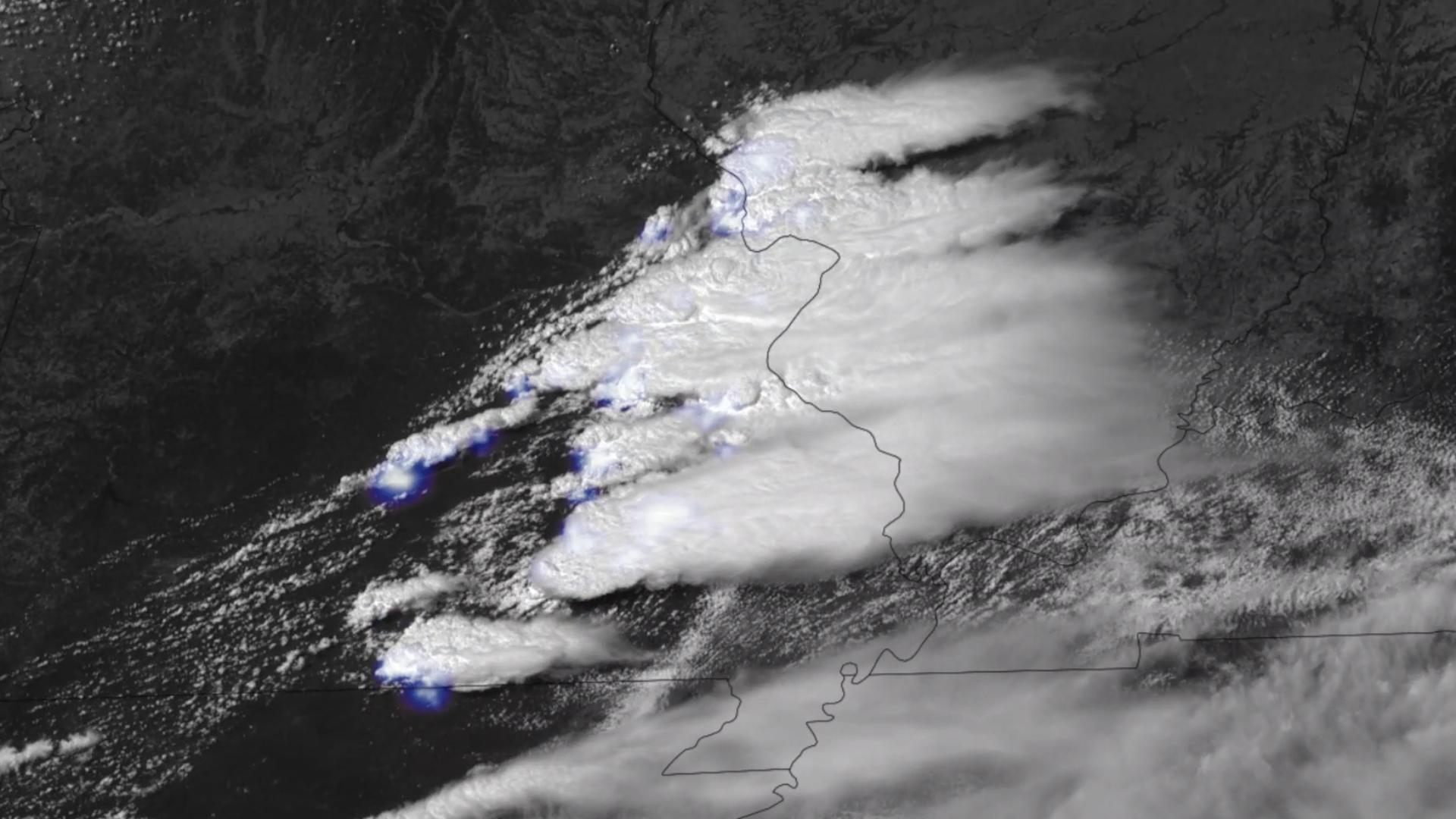
NOAA satellites have been monitoring a potent and complex spring weather pattern responsible for nearly a week-long stretch of severe weather, including two destructive tornado outbreaks across the central U.S. from May 15–16 and May 18–20, 2025.