
Earth from Orbit

The largest wildfire in Texas’s state history broke out on Feb. 26, 2024 and quickly spread within days, fueled by dry, windy conditions.
Announcement

The JPSS Ozone Mapping and Profiler Suite (OMPS) monitors stratospheric ozone to enhance the understanding of the ozone layer and global circulation.
Satellite Snapshots

NOAA’s GOES East satellite witnessed a rare event in the South Atlantic, as Tropical Depression 01Q strengthened into Tropical Storm Akará
Feature Story
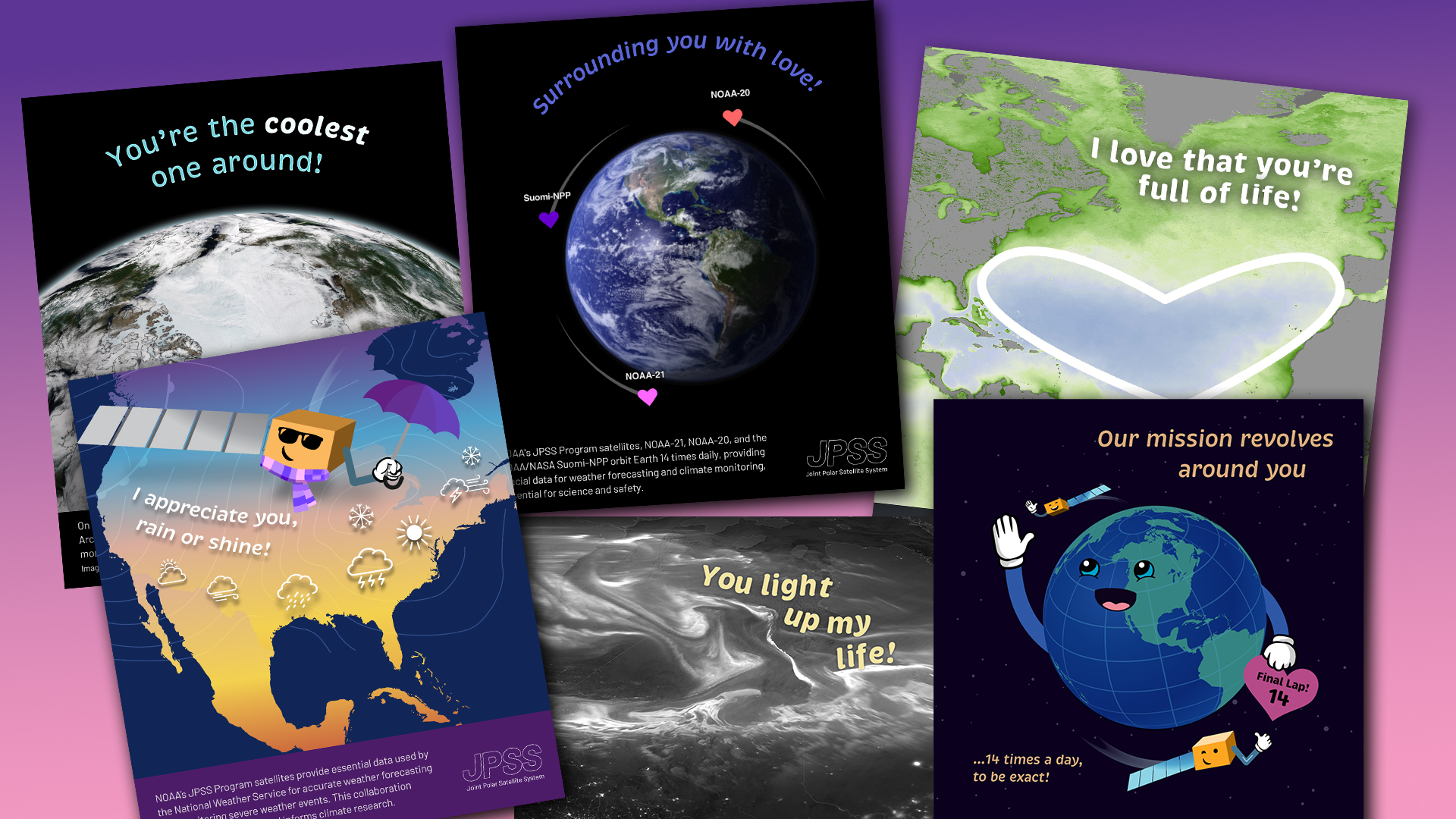
JPSS' collection of whimsical earth science Valentines is great to share with someone special.
Feature Story
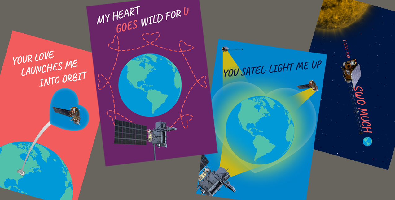
Whether you are celebrating a love that is light years old or launching a new romance, our unique and heartwarming satellite-themed Valentine’s Day.
Feature Story
Whether you are celebrating a love that is light years old or launching a new romance, our unique and heartwarming satellite-themed Valentine’s Day.
Satellite Snapshots
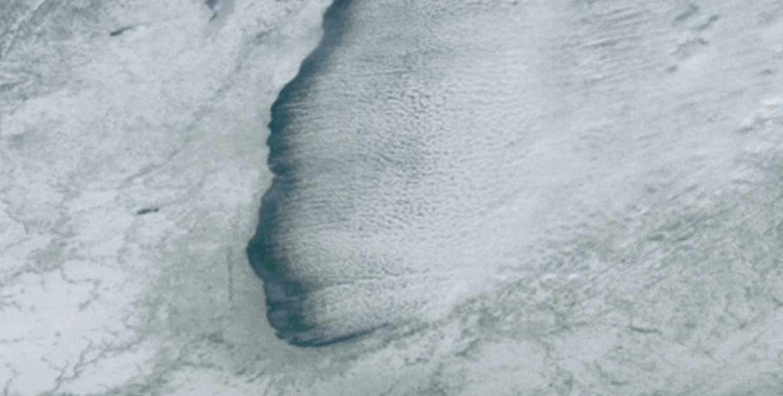
NOAA’s GOES East satellite used its Advanced Baseline Imager to capture this mesmerizing GeoColor image of cloud streets streaming off Lake Michigan.
Announcement
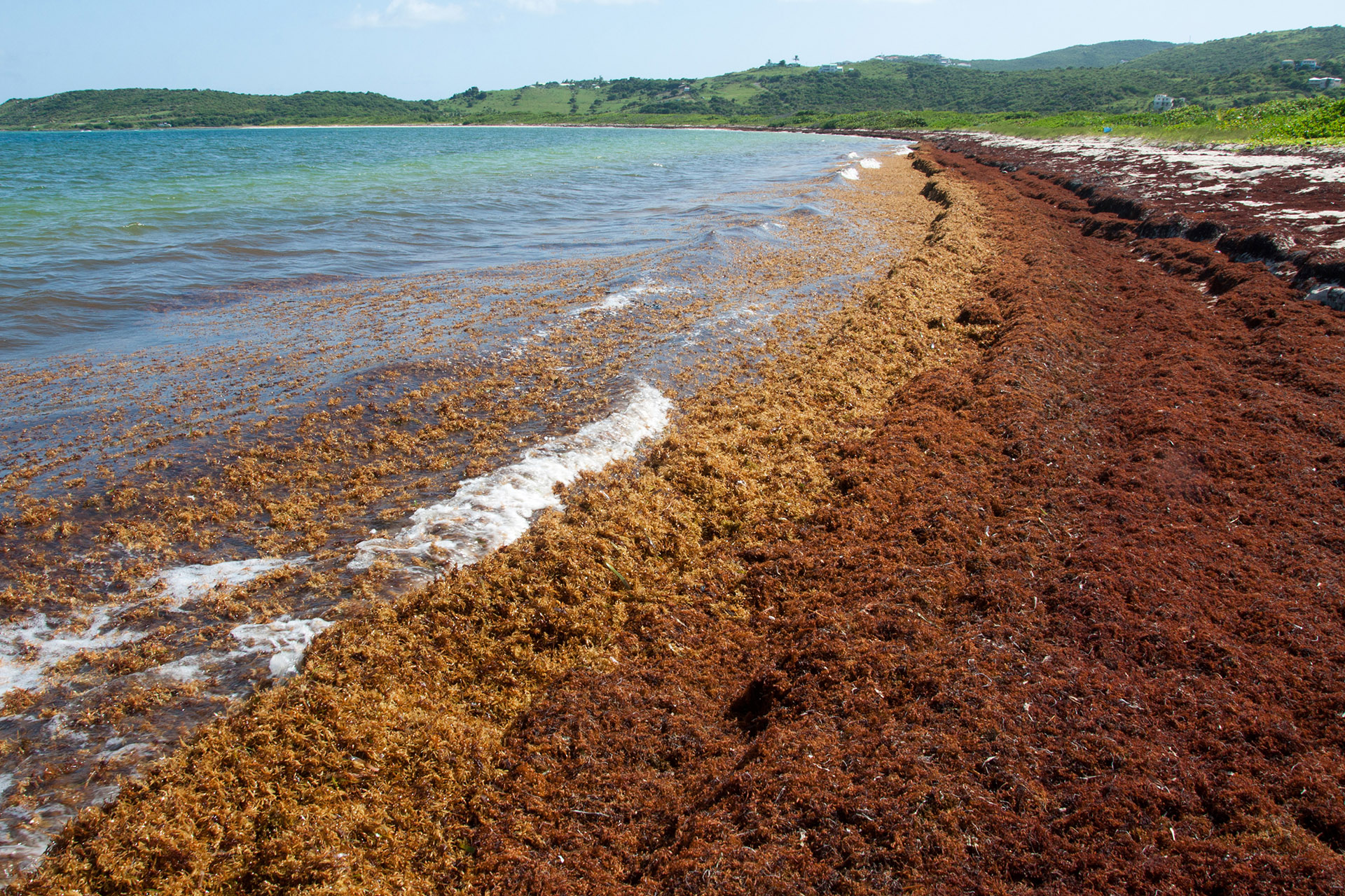
Assimilating low Earth orbit observations into models improves the detection and monitoring of Sargassum, aiding in timely and effective management.