
Earth from Orbit
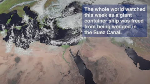
Imagery from the NOAA-20 satellite showed more than 400 cargo ships backed up in the Red Sea and Bitter Lake due to a ship blocking the Suez Canal.
Earth from Orbit
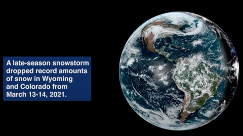
Satellite imagery shows a late-season snowstorm that dropped record-breaking amounts of snowfall in Cheyenne, Wyoming and Denver, Colorado.
Earth from Orbit

NOAA satellites monitored numerous fires over the Southern Plains, the majority of which were likely prescribed burns.
Earth from Orbit
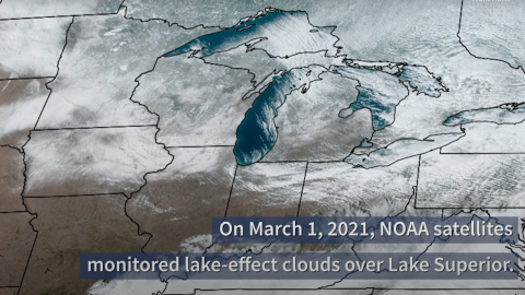
NOAA satellites monitored lake-effect clouds flowing over Lake Superior. Learn more about this phenomenon in this week's Earth from Orbit video.
Announcement

One of the JPSS program’s system of ground stations is located in Norway’s remote Svalbard islands. Antennas at the station here collect data from sat
Earth from Orbit

NOAA satellites monitored a large plume of dust from the Sahara Desert as it traveled off the west coast of North Africa, across the Atlantic Ocean.
Feature Story
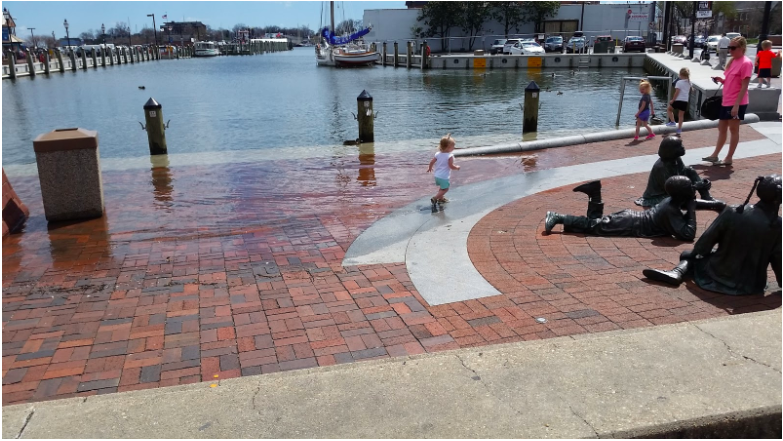
High-tide floods, also known as nuisance floods, sunny-day floods, and recurrent tidal floods, occur “when tides reach anywhere from 1.75 to 2 feet
Feature Story

The Visible Infrared Imaging Radiometer Suite (VIIRS), the first instrument for NOAA’s next polar-orbiting weather satellite, arrived at Northrop Grum