
Satellite Snapshots
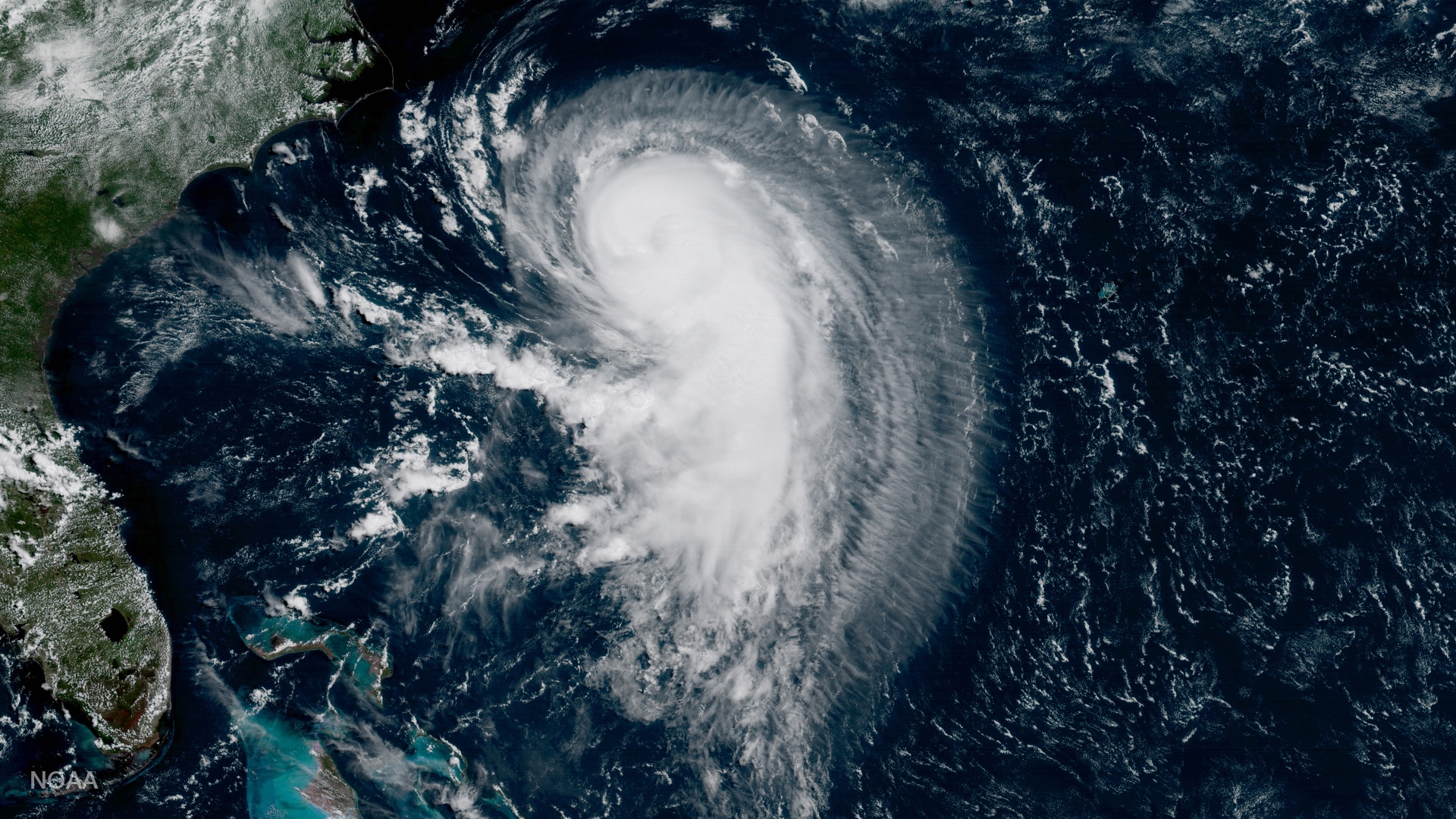
GOES-16 captured this image of Hurricane Gert in the Atlantic Ocean on August 15, 2017, 365 nautical miles west of Bermuda moving north-northeast
Satellite Snapshots
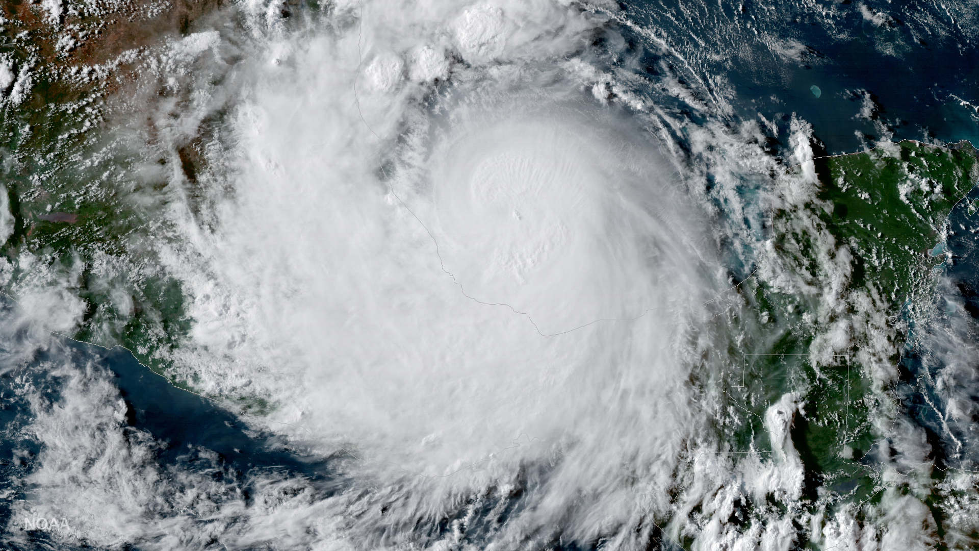
GOES-16 captured this geocolor image of Hurricane Franklin (now a remnant low) on the evening of August 9, 2017. According to the…
Feature Story

Progress continues on the development of NOAA's GOES-S and GOES-T spacecraft that will follow the successful launch of GOES-R…
Satellite Snapshots
GOES East captured imagery of a derecho that tore through the north-central Plains on July 19, 2017.
Feature Story
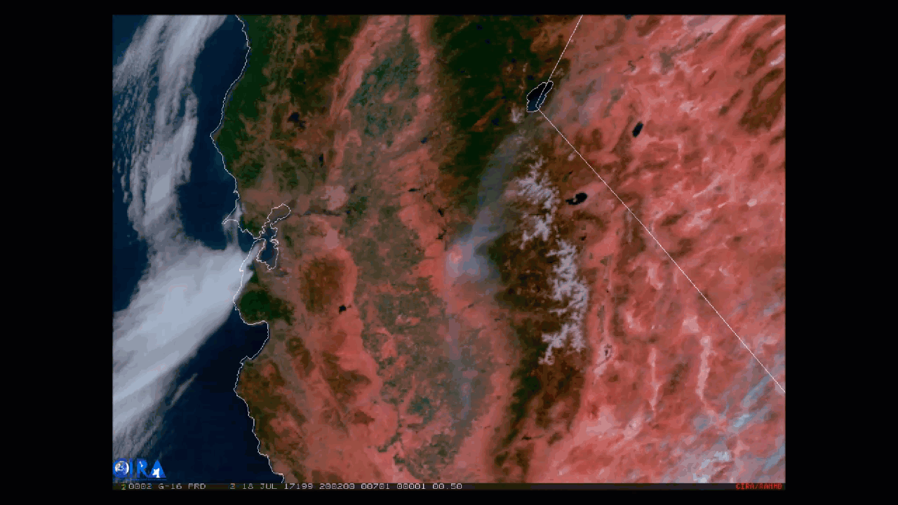
The high-resolution Advanced Baseline Imager aboard GOES-16 can provide imagery of hot spots like never before.
Feature Story
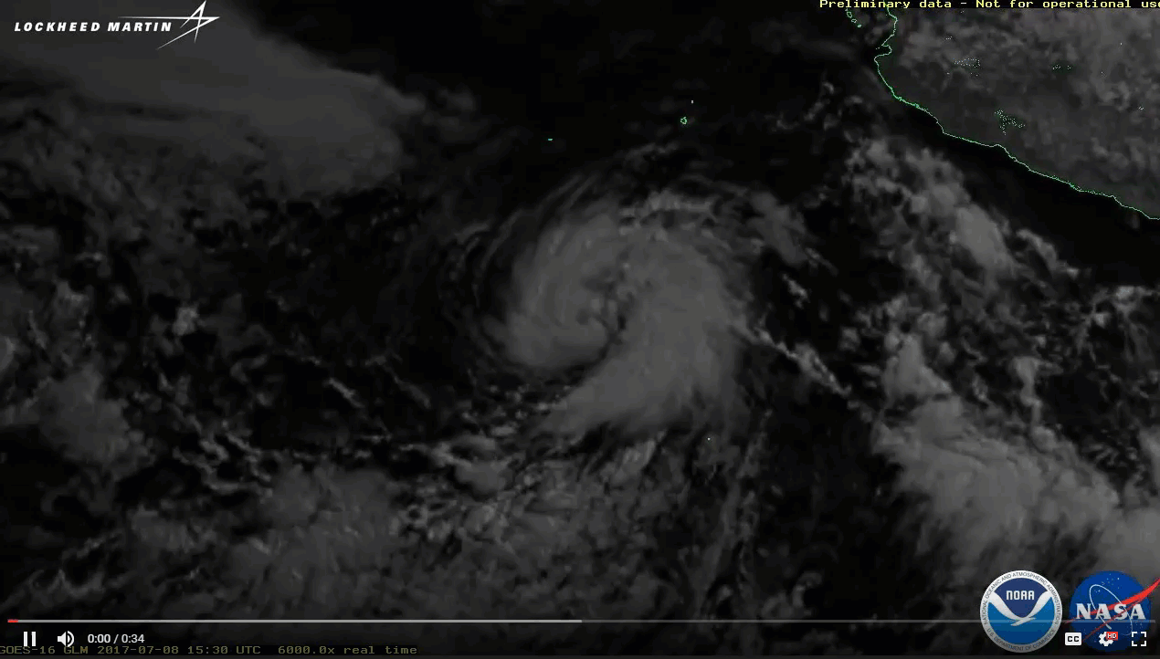
This imagery from GOES-16's Geostationary Lightning Mapper features flashes of lightning, but not necessarily where you might expect to see them.
Feature Story

It’s mid-April 2017 and NOAA’s GOES-16 Field Campaign , a two-month-long effort to calibrate and validate the earth viewing…
Feature Story

Watch the amount of sunlight reaching the North Pole increase with the coming summer solstice.