
Satellite Snapshots
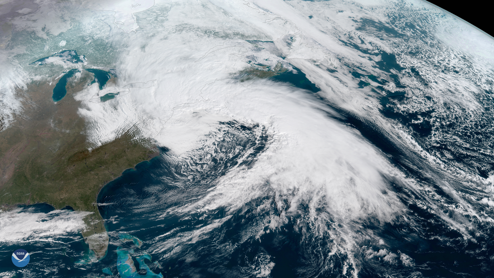
he Suomi NPP satellite's VIIRS instrument captured this week's nor'easter moving away from the U.S. East Coast on March 22, 2018. The…
Satellite Snapshots
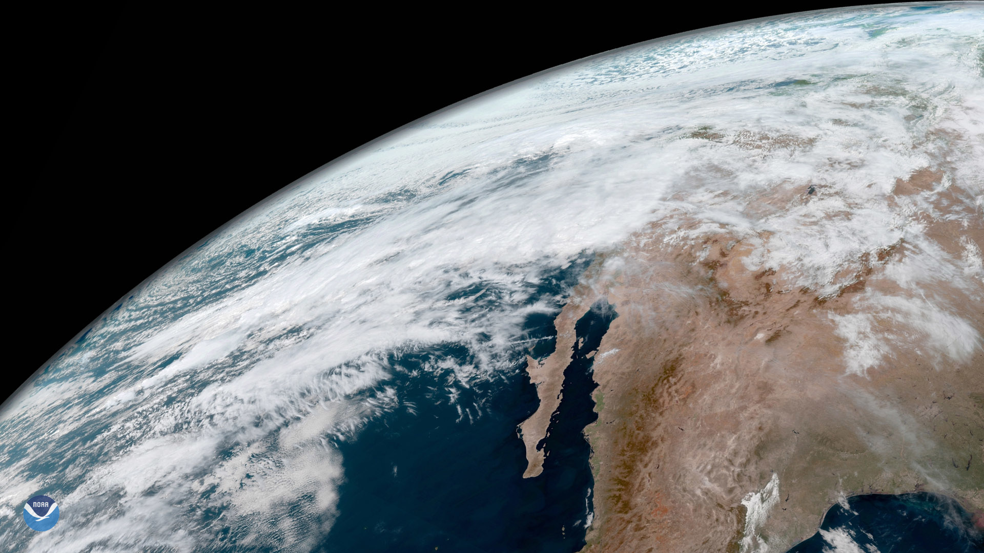
A multi-day heavy precipitation event is underway in California. This image was captured by GOES East March 21, 2018 at 1700 UTC…
Satellite Snapshots

The Suomi NPP satellite's VIIRS instrument captured this view of clear skies over most of the northeastern United States and Canada on…
Feature Story

The GOES-S satellite has reached geostationary orbit at roughly 22,300 miles up. Thus, it will now be called GOES-17.
Satellite Snapshots

The Suomi NPP satellite's VIIRS instrument captured these ice eddies in the Labrador Sea, off the coast of eastern Canada, on March 8,…
Feature Story

The launch of JPSS-1 (now NOAA-20) was officially deemed a success about one hour after liftoff on November 18, 2017, when the…
Satellite Snapshots
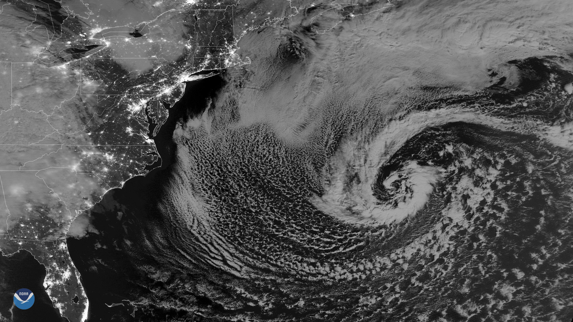
NOAA-20 polar-orbiting satellite captured this nighttime image of a strong secondary low pressure system in the western Atlantic…
Satellite Snapshots
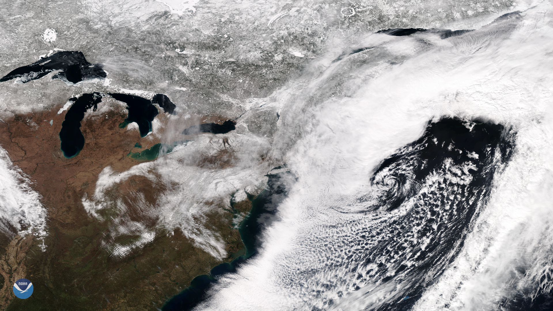
NOAA's GOES East satellite captured this dramatic image of last week's powerful nor'easter that brought gale-force winds, rain and…