
Feature Story
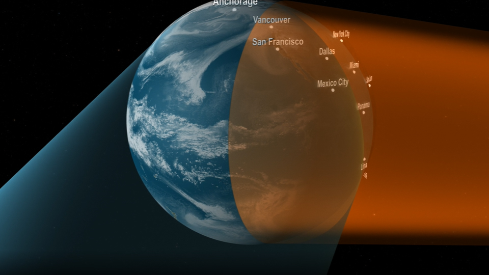
In 2018, NOAA launches the GOES-S satellite, which takes its place in orbit as GOES-17. Working together with GOES-16, the two new geostationary weather satellites will provide constant watch over the United States and the Western Hemisphere from…
Feature Story
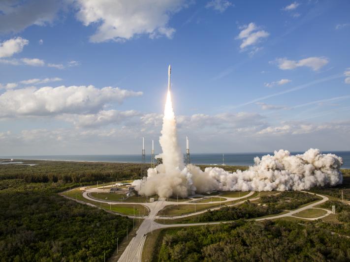
GOES-S launched into space at 5:02 pm ET from Kennedy Space Center on March 1, 2018.
Feature Story
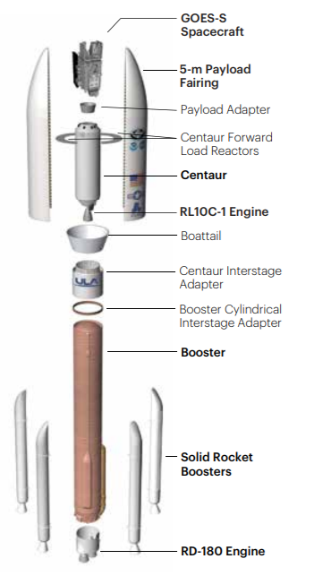
NOAA GOES-S will travel to space aboard a ULA Atlas V 541 expendable launch vehicle, or rocket.
Satellite Snapshots
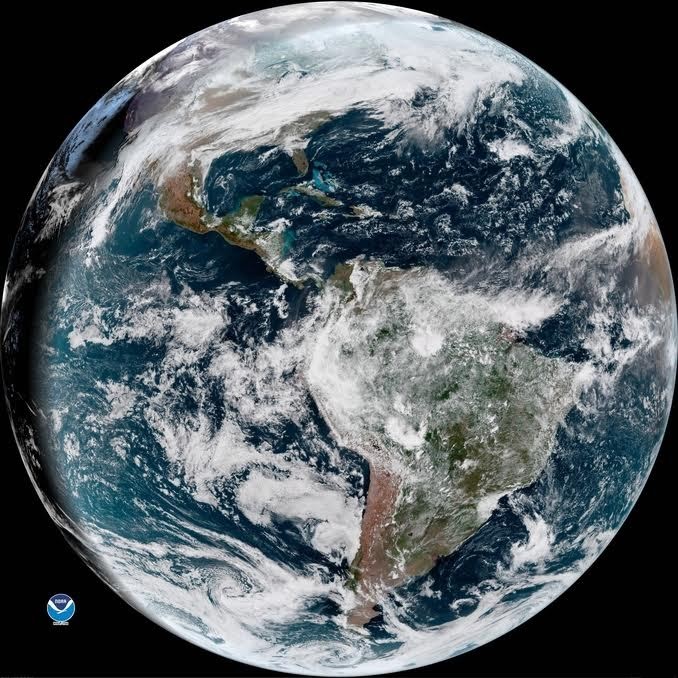
Since its launch, NOAA’s GOES East (GOES-16) satellite has demonstrated its critical capability for keeping our nation Weather…
Announcement
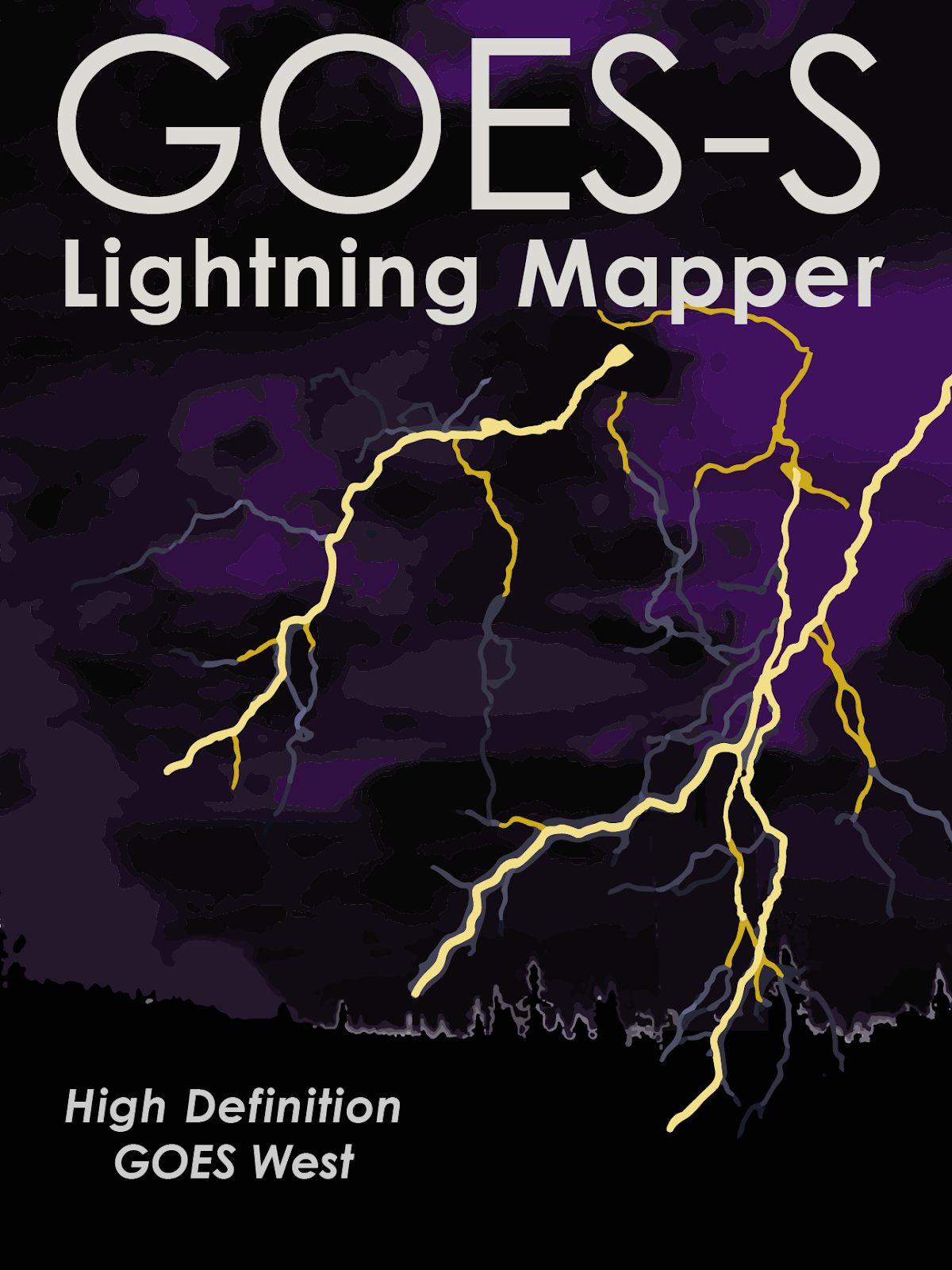
NOAA GOES-S will not only image the Earth as it sees it in true color, it also will be able to detect and monitor weather…
Feature Story
Learn about the Advanced Baseline Imager (ABI), the primary instrument on the GOES-R Series for imaging Earth’s weather, oceans and environment.
Feature Story
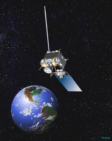
Two new geostationary weather satellites will provide constant watch over the United States and the Western Hemisphere, learn more about them!
Satellite Snapshots

Much like last February, unseasonable warmth spread across the southern and eastern United States this week, with temperatures reaching levels more typical of April or early May.