
Feature Story
Excitement is building for the launch of GOES-S. On March 1, 2018, NOAA’s newest geostationary satellite will launch into…
Satellite Snapshots
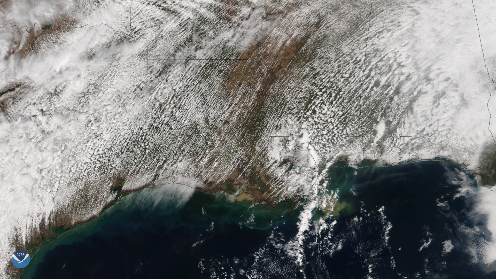
Multiple rows of cumulus clouds appear over Texas, Louisiana and the Gulf Coast in this image captured by the Suomi NPP satellite's…
Satellite Snapshots
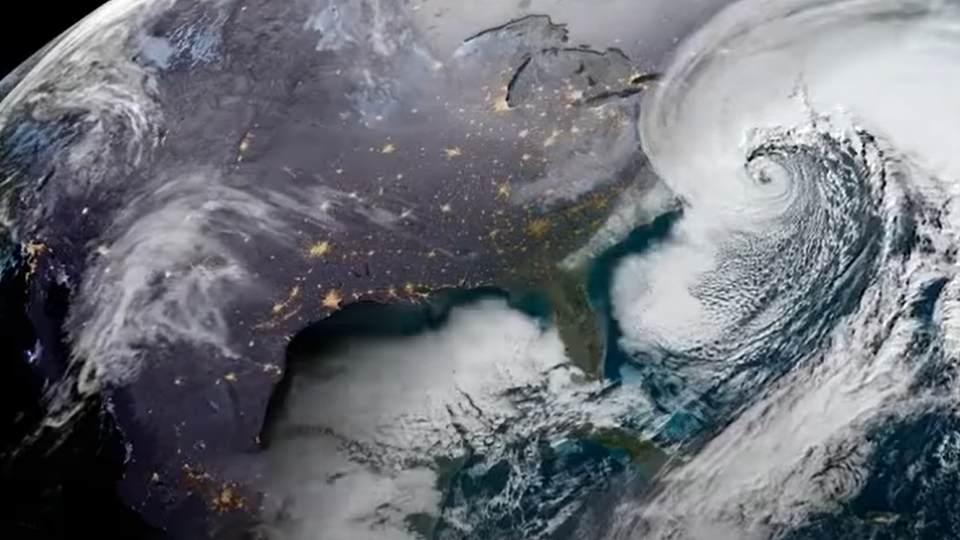
NOAA's GOES East satellite caught a dramatic view of the Bombogenesis 'Bomb Cyclone' moving up the East Coast on the morning of January 4, 2018. The…
Feature Story
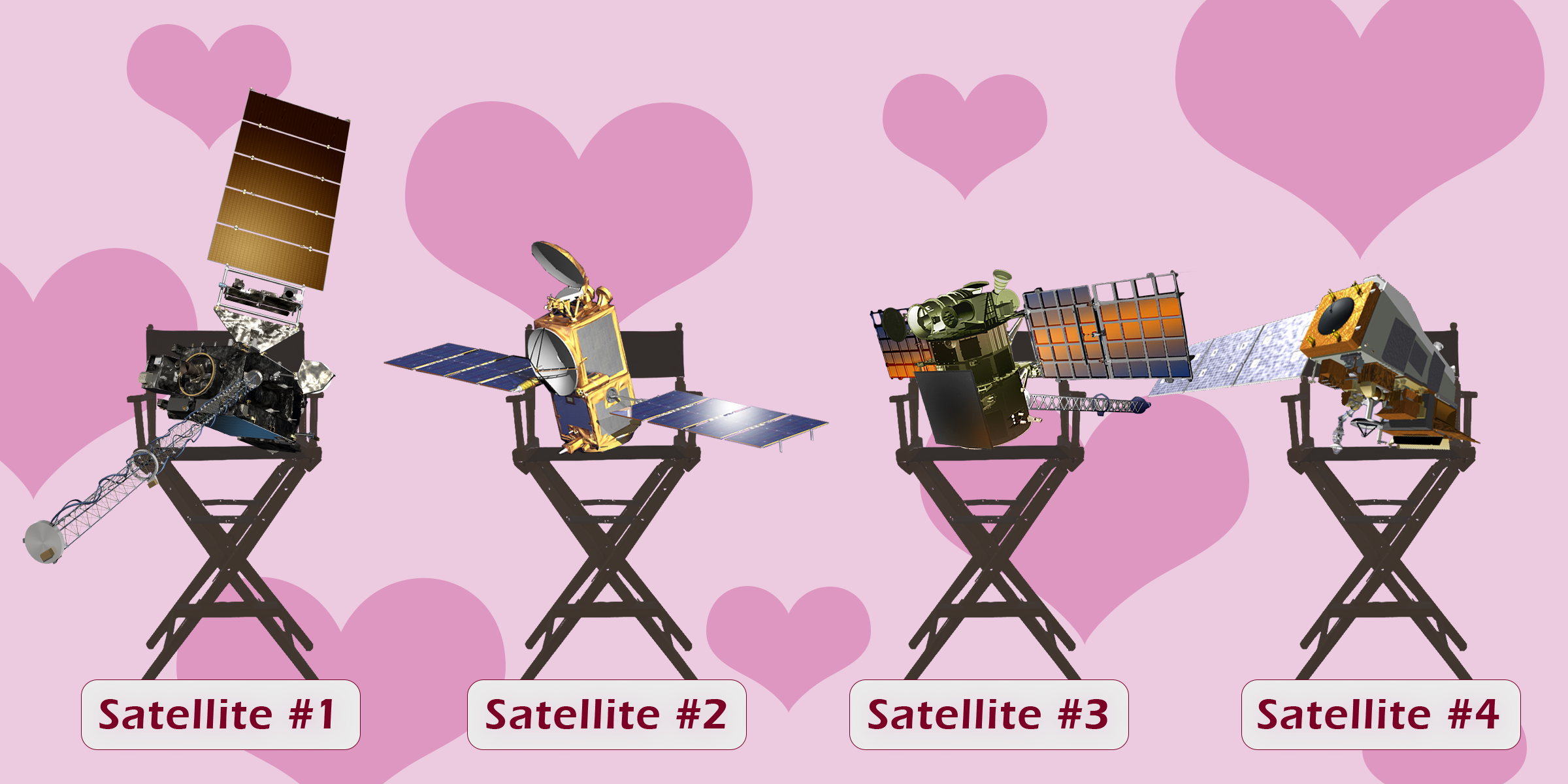
In celebration of Valentine’s Day we have hearts in our eyes as we think about our amazing satellites. They each have…
Satellite Snapshots
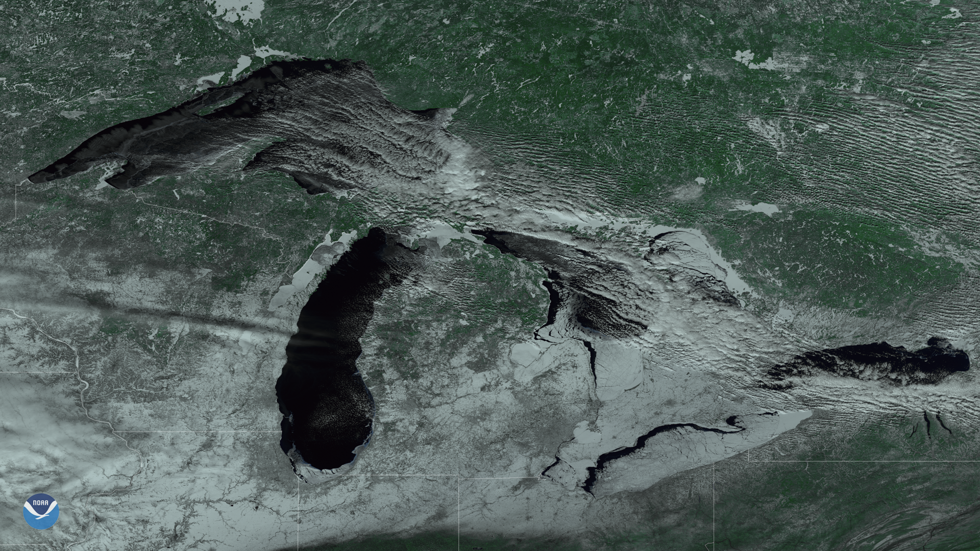
This color-enhanced imagery from the Suomi NPP satellite's VIIRS instrument shows ice cover on the Great Lakes on February 12, 2018.
Feature Story

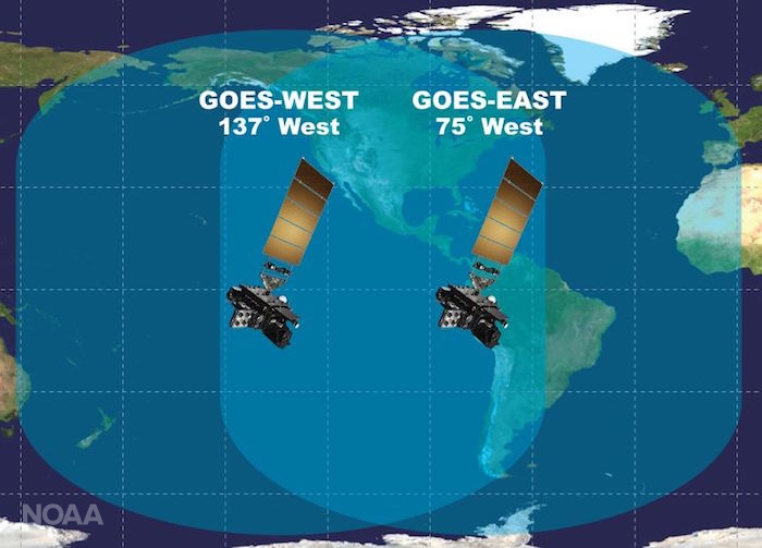
NOAA’s GOES East and GOES West aren’t just part of an esteemed pair of sister satellites, they also belong to an…
Satellite Snapshots
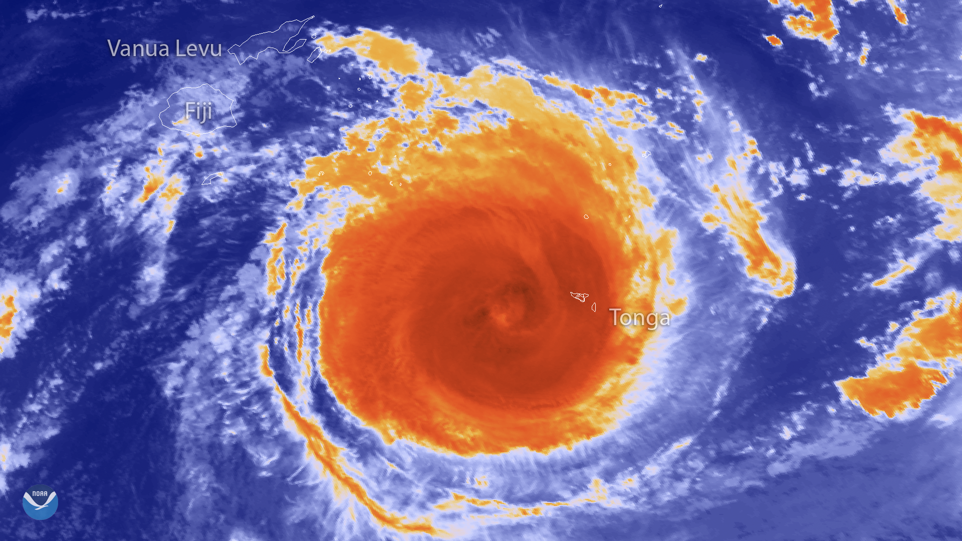
The Japan Meteorological Agency's Himawari-8 satellite captured this thermal infrared imagery of powerful Tropical Cyclone Gita in…
Feature Story

Approximately one hour after liftoff, when JPSS-1 separated from the upper stage of the Delta II launch vehicle and its solar array deployed, the laun