
Satellite Snapshots
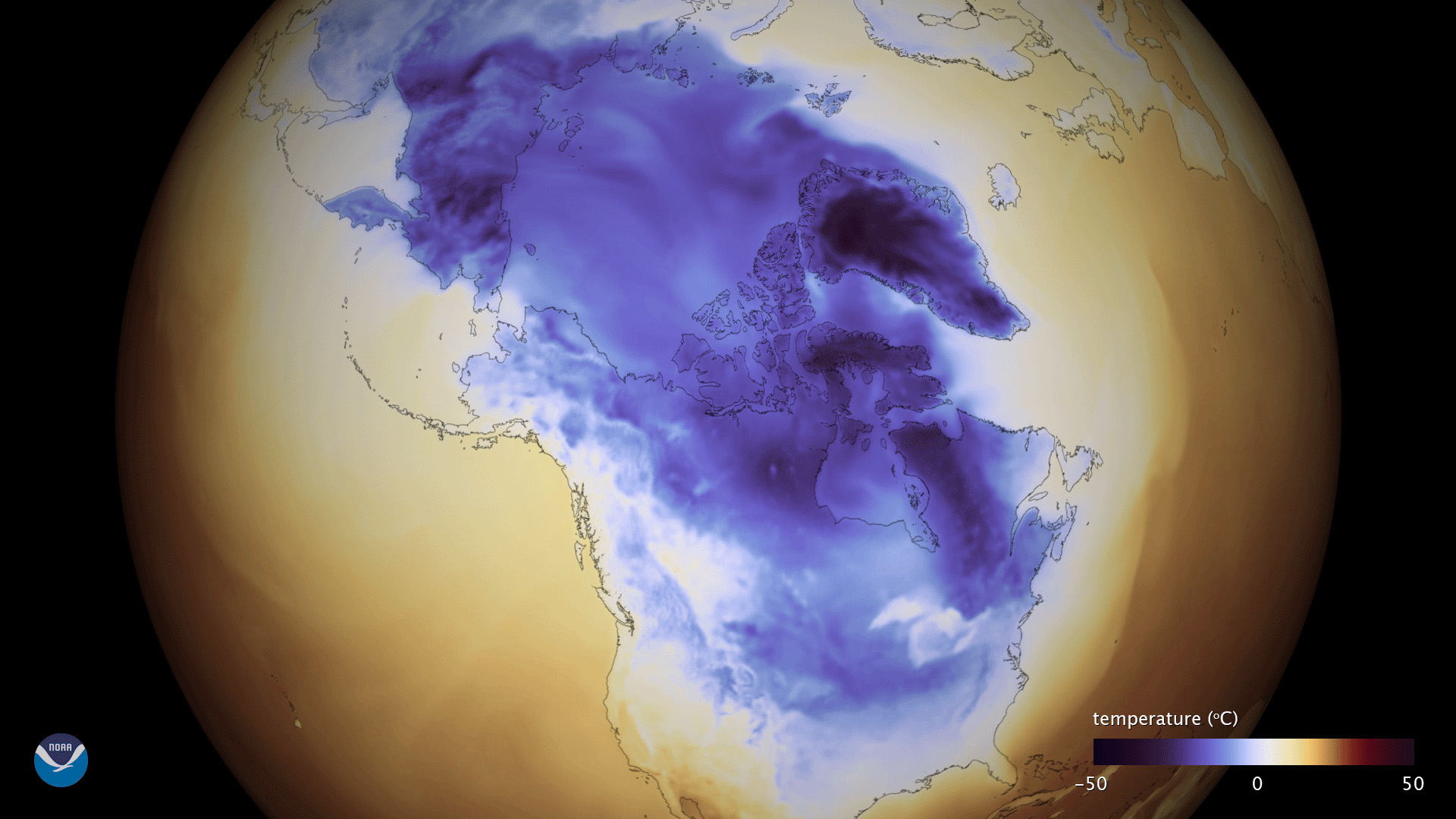
This data visualization shows very cold temperatures gripping large portions of North America on Jan. 1, 2018, including the central…
Feature Story
Every year at midnight on December 31st, the mathematical and mysterious converge as we witness a new year begin! It’s a…
Satellite Snapshots
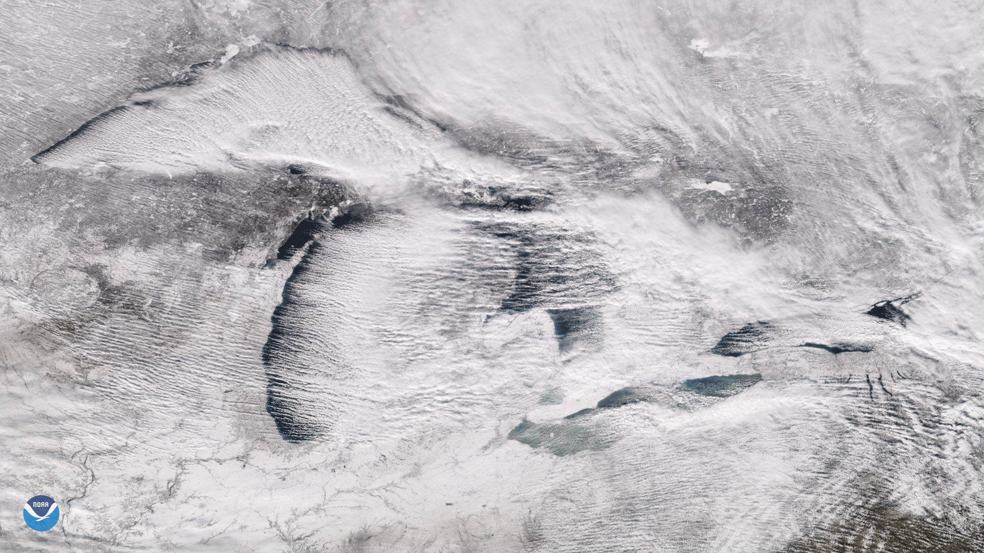
The Suomi NPP satellite's VIIRS instrument captured these parallel rows of clouds, known as "cloud streets" streaming over the Great Lakes.
Feature Story

As the Earth completes its 2017 journey around the Sun, NOAA's fleet of satellites had an amazing view along the way. This…
Satellite Snapshots

The ocean floor is largely unexplored - ship based measurements, such as sonar, have mapped a small percentage of the open ocean…
Satellite Snapshots

NOAA's satellites have detected a plume of dust moving off the coast of Africa. Though quite common, this particular plume, also called the Saharan…
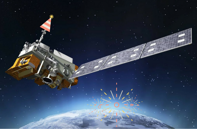
Feature Story

Now in its new GOES East position, the advanced GOES-16 satellite has officially joined NOAA’s operational observation network, providing forecasters
Satellite Snapshots
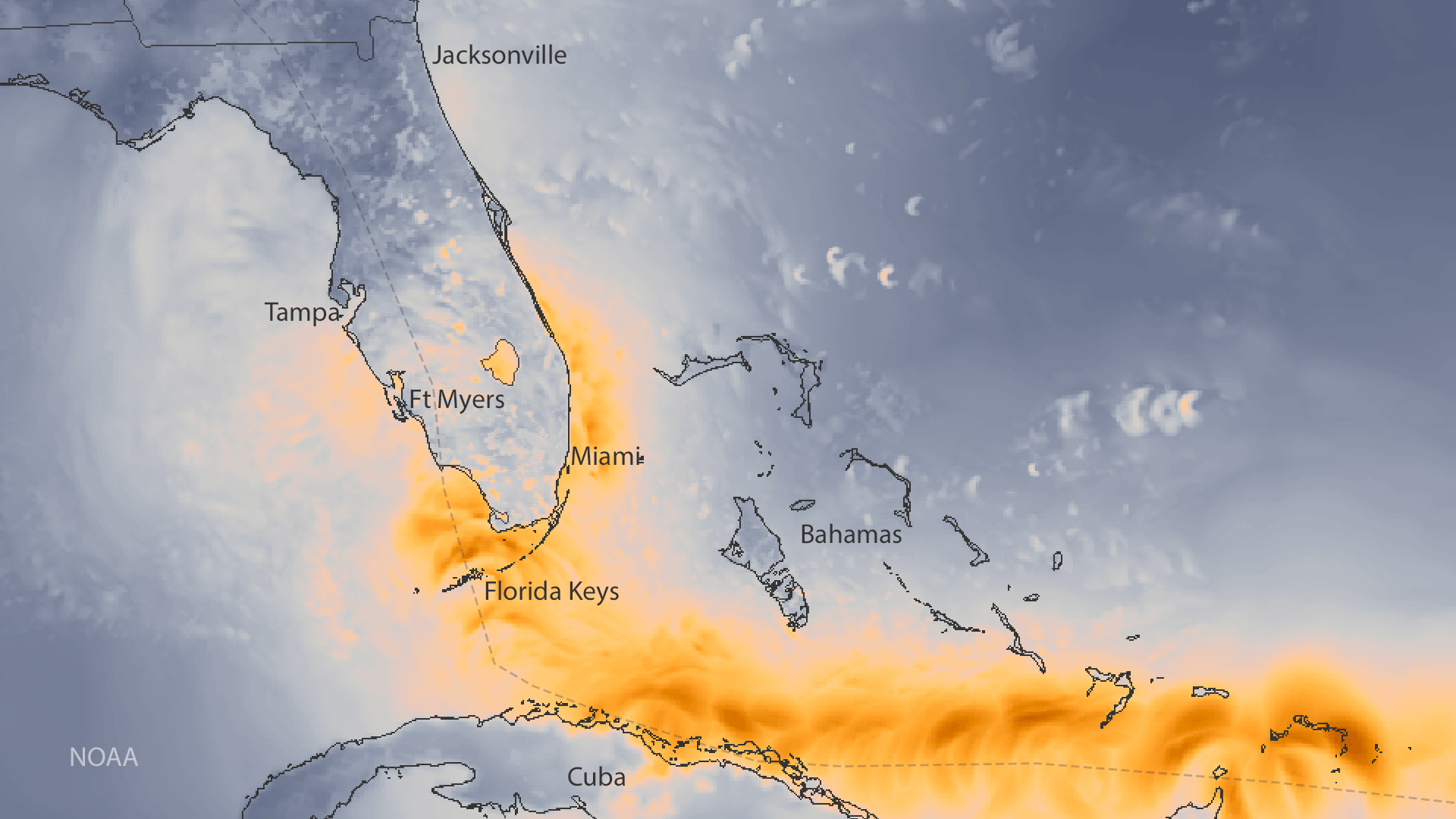
This data visualization shows the maximum wind gusts of Hurricane Irma.