
Satellite Snapshots

It is that time of year again (it happens twice) when the relative angle of Earth is perpendicular to the Sun, causing equal incoming…
Satellite Snapshots
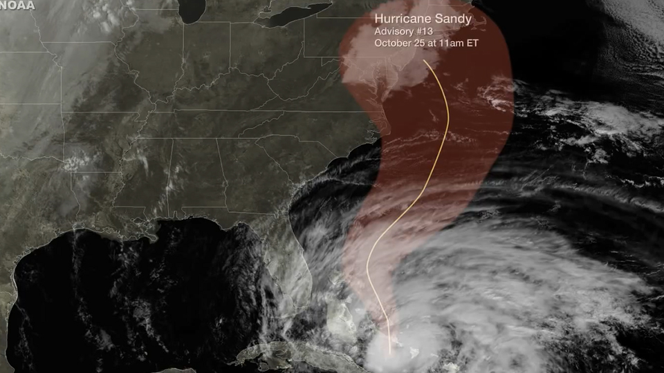
Five days before Sandy made landfall along the New Jersey coastline, NOAA's National Hurricane Center accurately projected the storm's path. This…
Satellite Snapshots
As the NOAA GOES-13 satellite provides on-going operational coverage of Hurricane Sandy, a special Super Rapid Scan Operations (SRSO) has been…
Satellite Snapshots
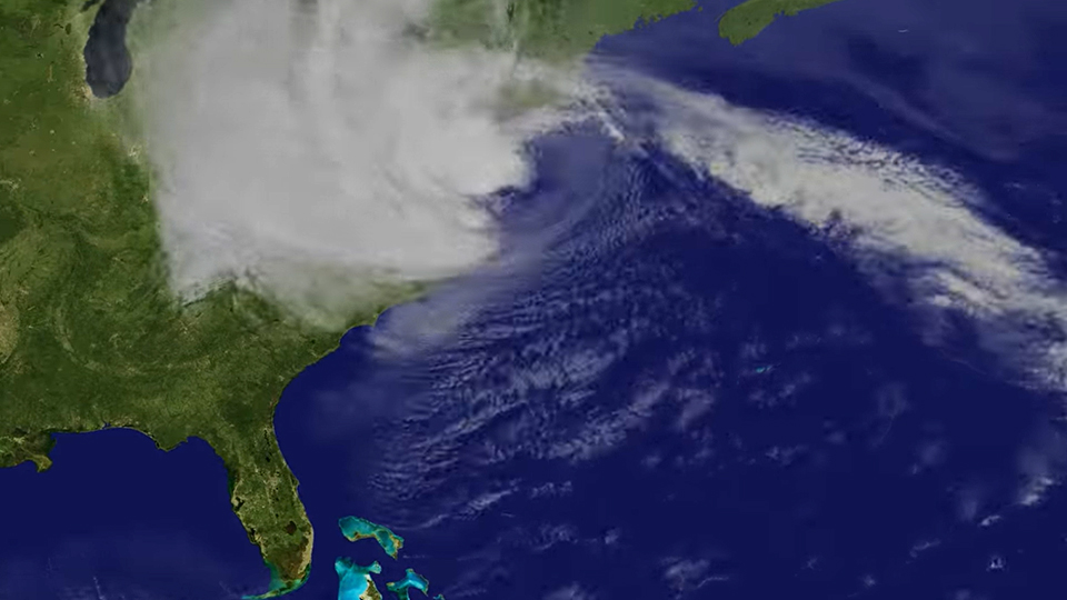
Hurricane Sandy October 2012 follows up the US east coast and devastates New York and New Jersey.
Satellite Snapshots
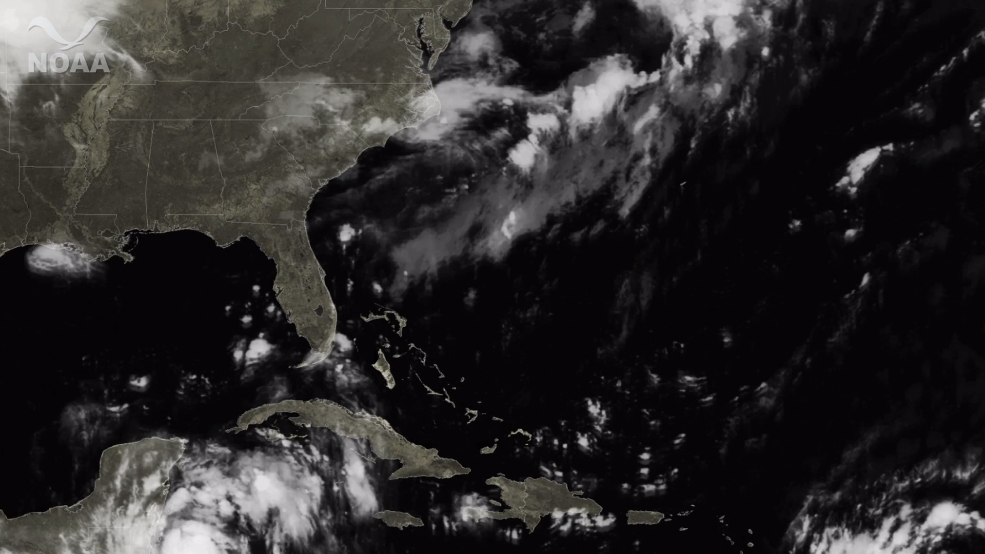
Hurricane Sandy has cleared western Cuba and is headed towards the Bahamas. Forecast models show Sandy maintaining significant…
Satellite Snapshots
Four days before Hurricane Irene struck eastern North Carolina and tracked northward, NOAA's National Hurricane Center accurately projected the storm…
Satellite Snapshots
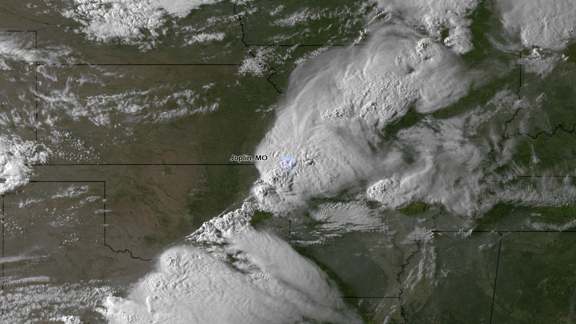
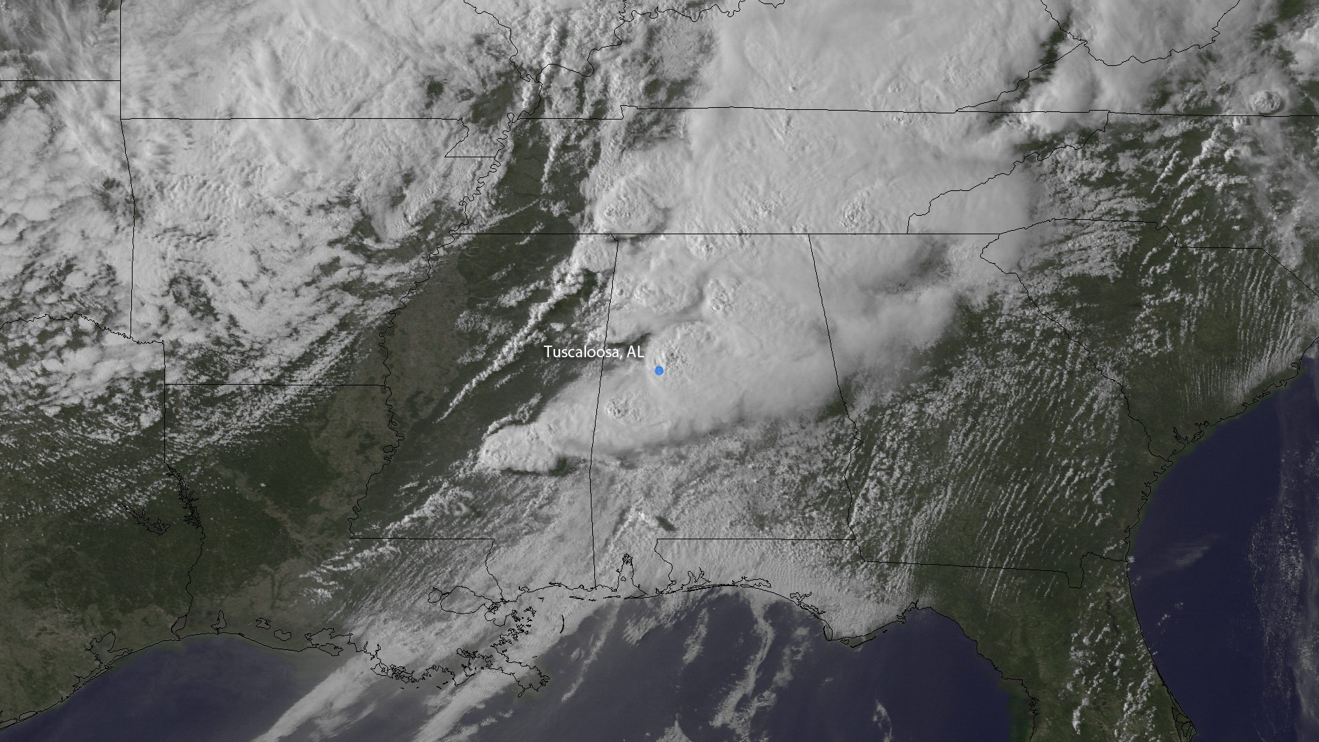
The city of Joplin, MO is reeling today after a powerful tornado spun through a densely populated part of town. This image, from GOES…
Satellite Snapshots
Early in the evening of April 27, 2011, The GOES East satellite took this picture, mid-way through the life of a particularly long…