
Feature Story
NOAA’s JPSS-1 satellite, the second in the JPSS series of satellites, slated to launch in 2017, is currently going through environmental testing. Envi
Satellite Snapshots

View of Suomi NPP in orbit introducing what a 1325 LTAN and sun-synchronous orbit means (using planes of reference, animation, and different space…
Feature Story
Polar-orbiting weather satellites are essential assets that provide data that enable forecasters to make more accurate weather predictions three to se
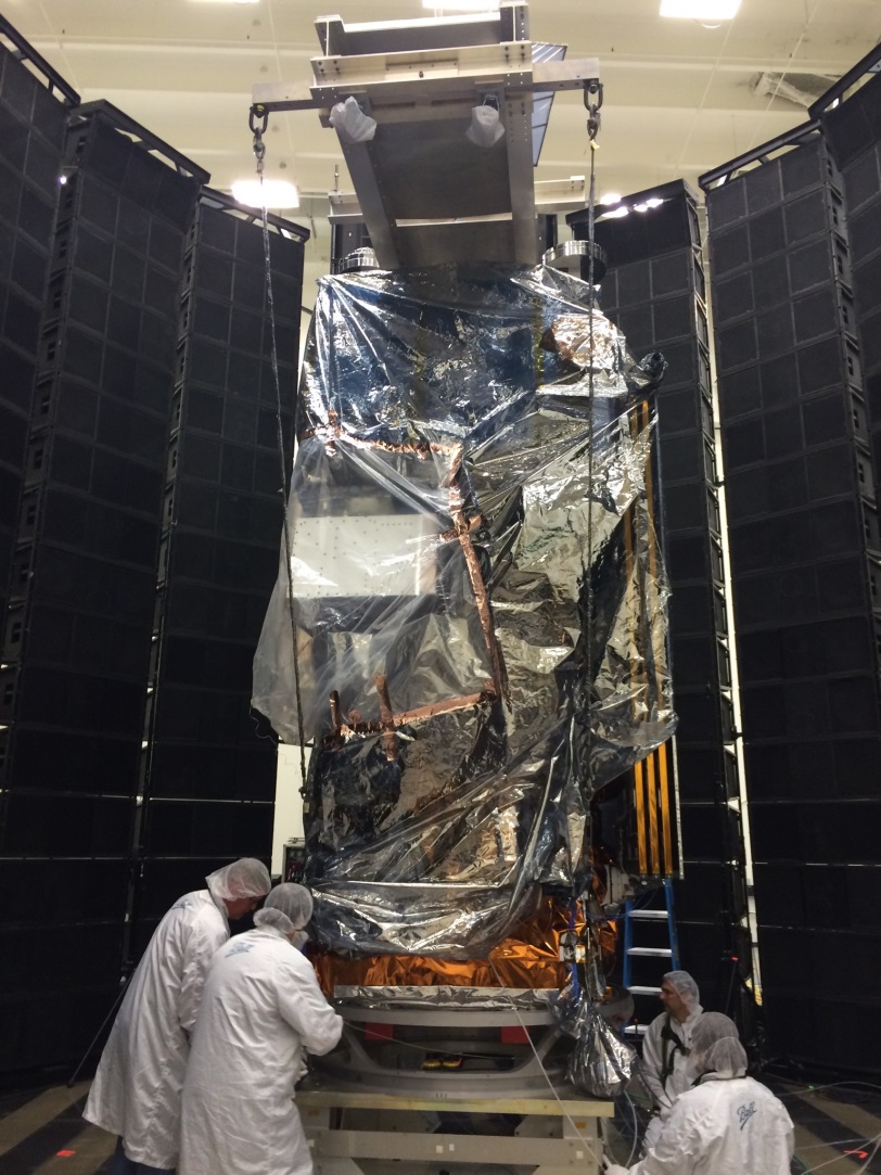
Feature Story
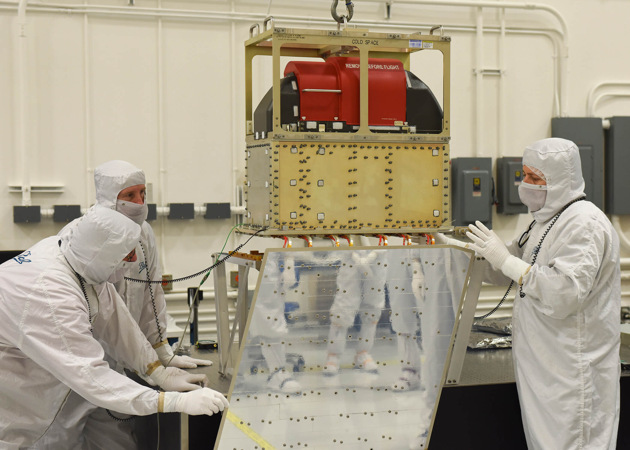
The final instrument to be integrated with NOAA’s Joint Polar Satellite System-1 (JPSS-1) satellite is now complete, moving the spacecraft development
Feature Story

Did you know that the United States uses data from European polar-orbiting weather satellites, in addition to our own satellites, to help us produce o
Feature Story
Did you know that satellite data products from the Joint Polar Satellite System (JPSS) Program are helping scientists study Atlantic bluefin tuna larv
Feature Story
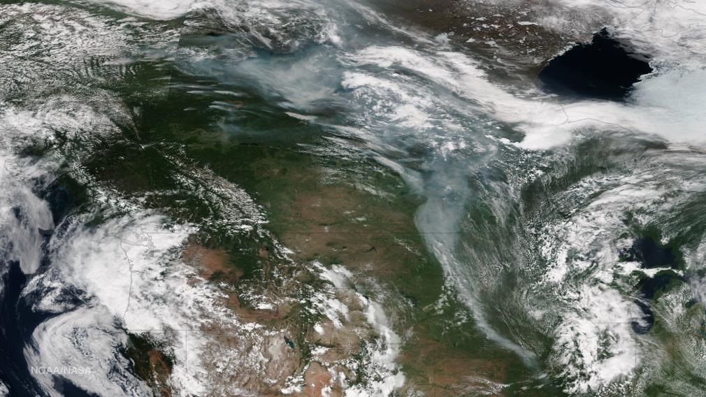
5.1 million acres have burned in Alaska in 2015. It’s the second highest total on record, eclipsed only by the devastating 2004 fire season, which lef
Feature Story

In recent years, droughts have become both more prevalent and severe, wreaking havoc in all 50 states and costing billions of dollars of damage with t