
Feature Story

Around the world...around the clock...NOAA proudly stands watch. As an integral part of worldwide search and rescue is SARSAT.
Feature Story
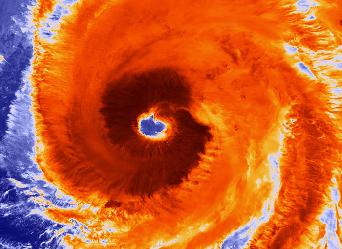
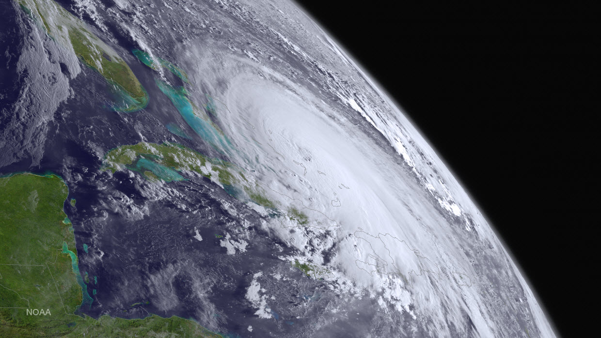
"Above normal," that's how NOAA scientists described the 2016 Atlantic Hurricane Season, which ended on November 30, 2016,…
Feature Story

Welcome to the new and improved NOAA Satellite and Information Service website. Explore the site and check out all the new…
Feature Story
NOAA’s GOES-R weather satellite will soon be launched into space— becoming our nation’s most advanced geostationary…
Satellite Snapshots
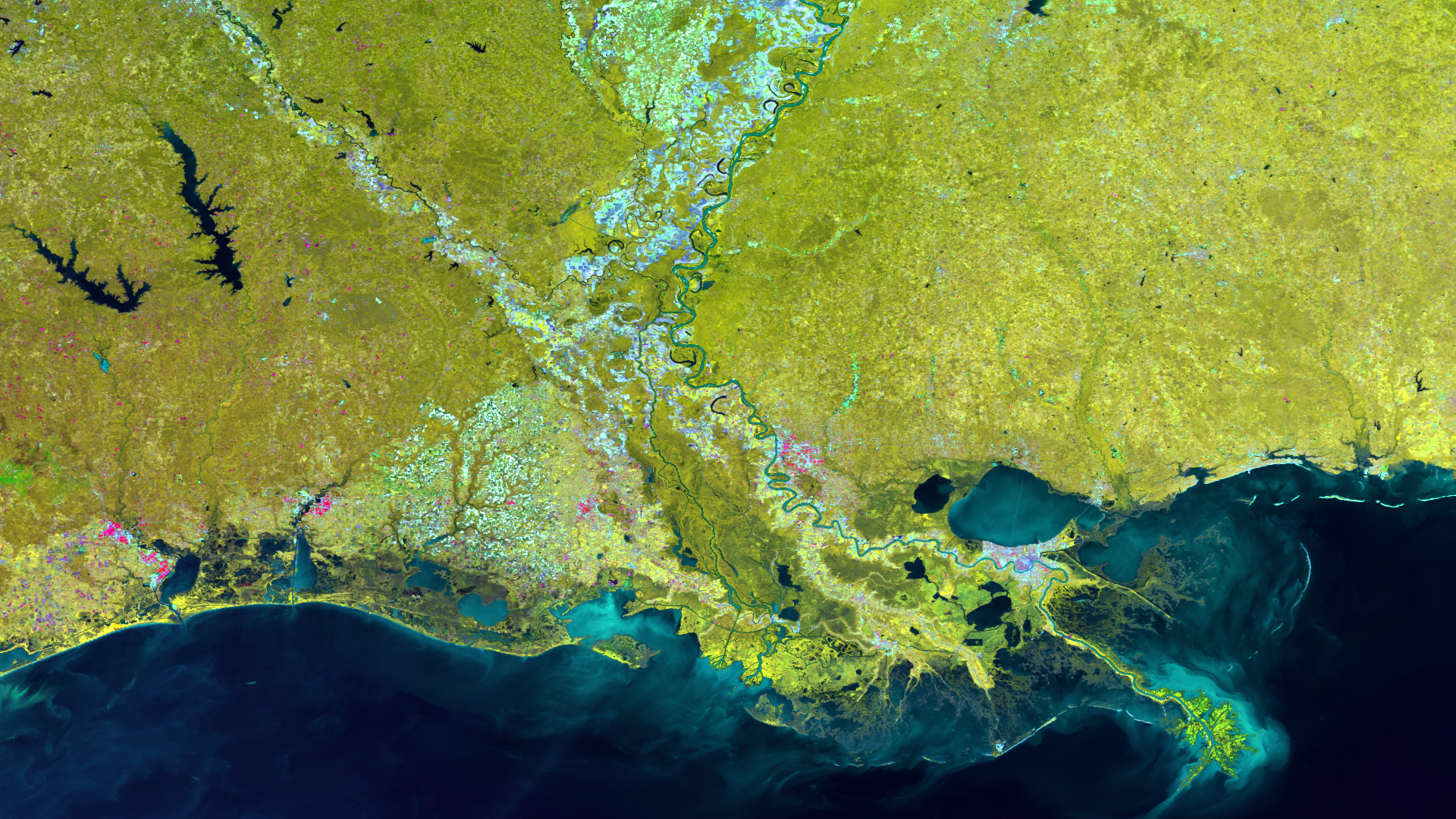
The Mississippi River Delta, the largest in the U.S., is a melange of the rivershed and its associated river and streambeds,…
Feature Story

Global commercial interests have long eyed the Northwest Passage as a shorter trade route between Europe and Asia…
Feature Story
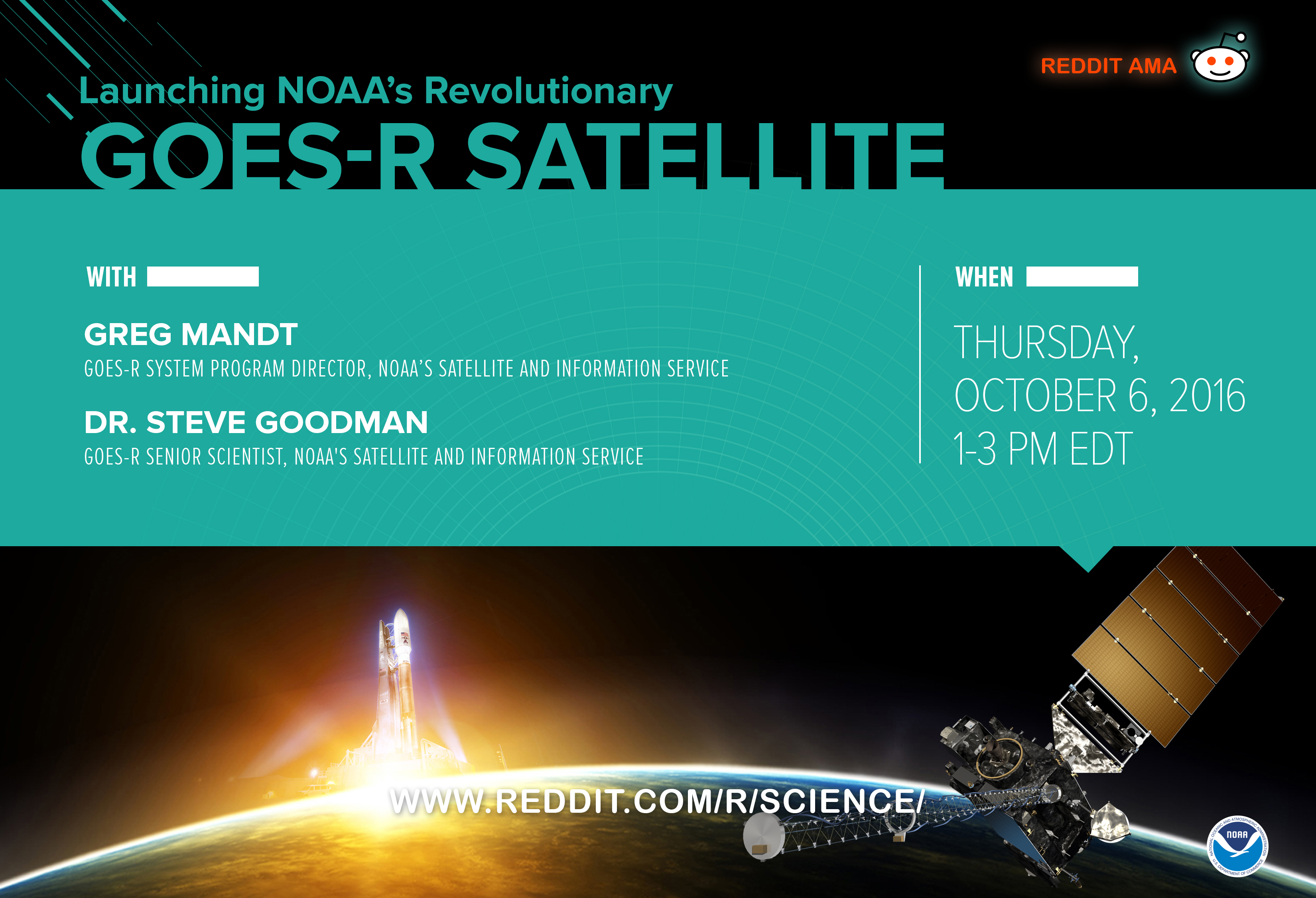
Want to know more about GOES-R's mission, the satellite, the launch, or the science behind it all? Join our Reddit Science AMA…
Announcement
On September 15, 2016, NOAA’s National Environmental Satellite, Data, and Information Service (NESDIS) awarded contracts to GeoOptics, Inc., and Spire Global, Inc., as part of the Commercial Weather Data Pilot.