
Feature Story

For 50 years , NOAA’s Geostationary Operational Environmental Satellites (GOES) have kept a constant vigil over the Western Hemisphere.
Feature Story
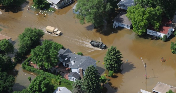
River flooding poses a serious threat to communities across the United States, endangering roughly 41 million Americans and putting an estimated $5.5 trillion in assets at risk.
Feature Story
Understanding the dusty air mass that travels thousands of miles and influences storms.
Satellite Snapshots

NOAA satellites have been monitoring several large wildfires in Minnesota.
Feature Story

The JPSS VIIRS Day/Night Band, with its low-light sensitivity, captures auroras and shows how solar particles interact with Earth’s atmosphere.
Earth from Orbit
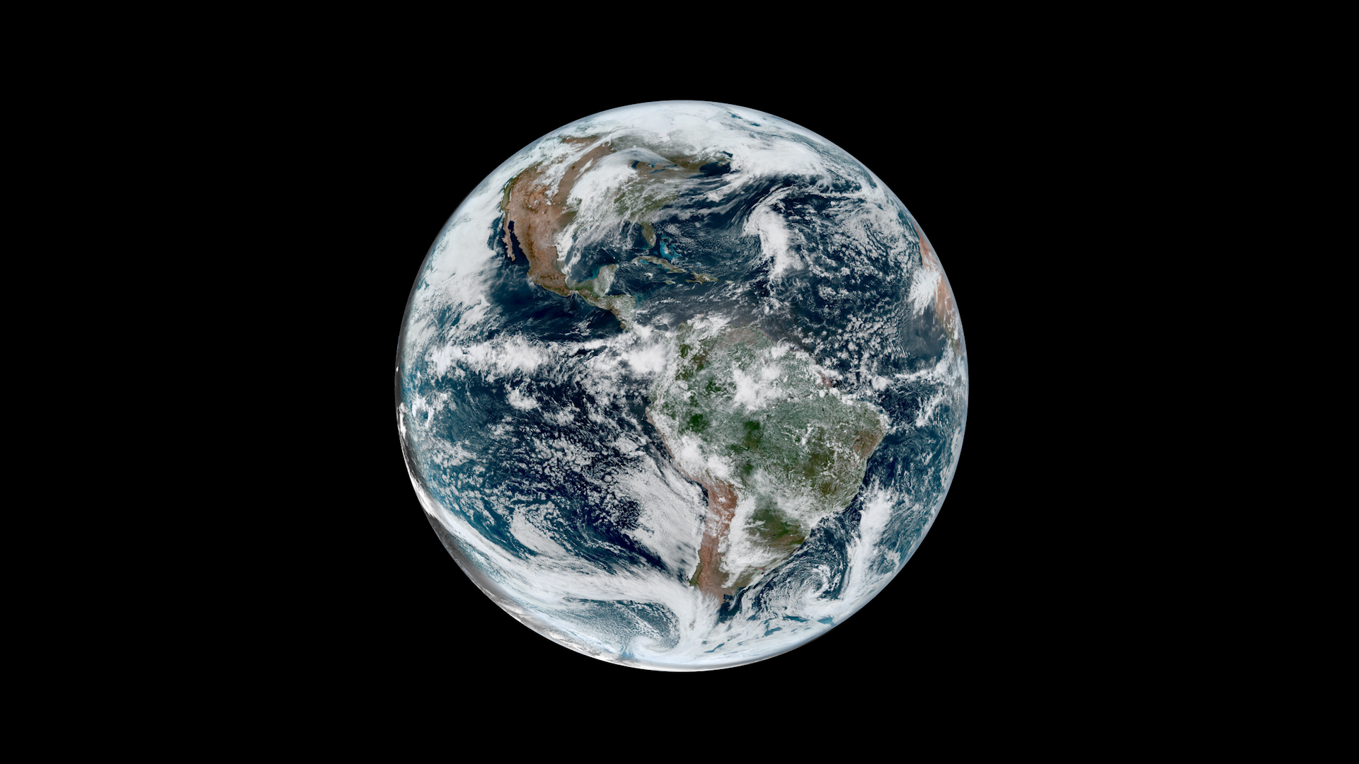
NOAA satellites have been monitoring Earth’s weather and environment since 1970, which also happened to be the year the first official Earth Day took place!
Earth from Orbit
NOAA satellites have been monitoring Earth’s weather and environment since 1970, which also happened to be the year the first official Earth Day took place!
Satellite Snapshots

NOAA’s Joint Polar Satellite System (JPSS) satellites captured striking imagery of sediment runoff due to flooding in the Mississippi River delta from April 8–13, 2025.